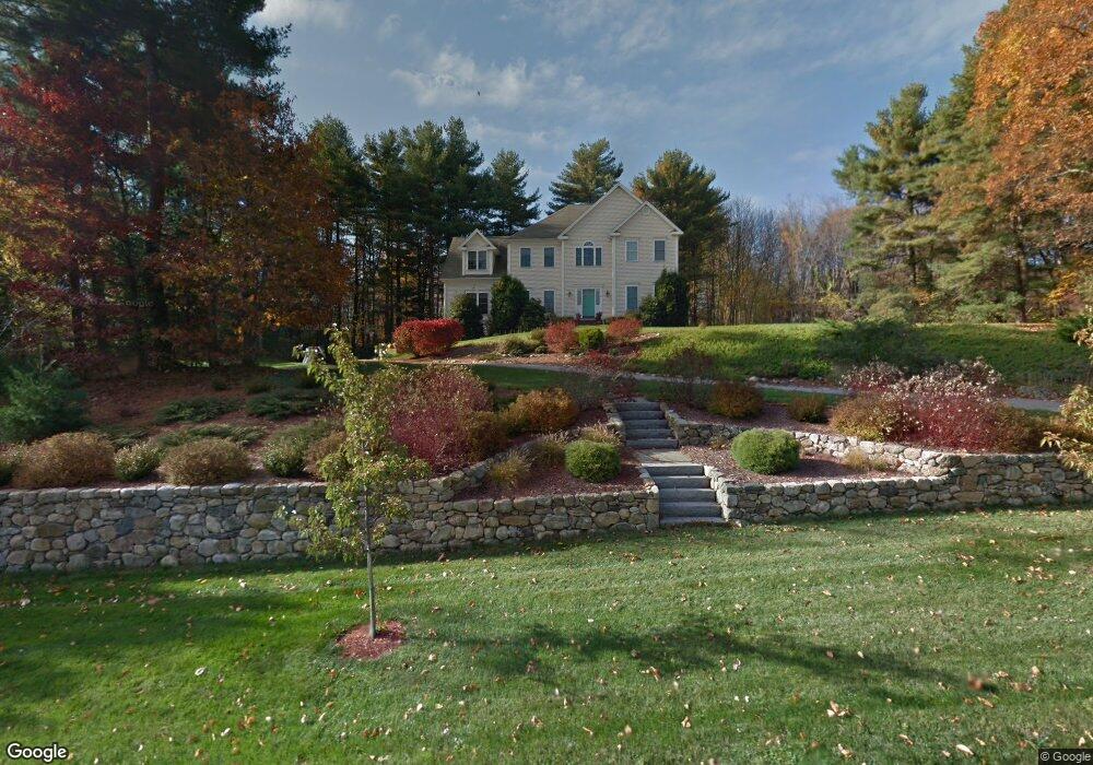
13 Broken Tree Rd Medway, MA 02053
Estimated Value: $1,023,308 - $1,213,000
4
Beds
3
Baths
2,997
Sq Ft
$378/Sq Ft
Est. Value
About This Home
This home is located at 13 Broken Tree Rd, Medway, MA 02053 and is currently estimated at $1,133,577, approximately $378 per square foot. 13 Broken Tree Rd is a home located in Norfolk County with nearby schools including John D. McGovern Elementary School, Burke-Memorial Elementary, and Medway Middle School.
Ownership History
Date
Name
Owned For
Owner Type
Purchase Details
Closed on
Mar 31, 2021
Sold by
Hamer Phillip B and Hamer Michelle A
Bought by
Hamer Phillip B and Hamer Michelle A
Current Estimated Value
Purchase Details
Closed on
Jan 19, 1999
Sold by
Alexander Cptl Dev
Bought by
Hamer Phillip B and Hamer Michelle A
Home Financials for this Owner
Home Financials are based on the most recent Mortgage that was taken out on this home.
Original Mortgage
$240,000
Interest Rate
6.7%
Mortgage Type
Purchase Money Mortgage
Create a Home Valuation Report for This Property
The Home Valuation Report is an in-depth analysis detailing your home's value as well as a comparison with similar homes in the area
Home Values in the Area
Average Home Value in this Area
Purchase History
| Date | Buyer | Sale Price | Title Company |
|---|---|---|---|
| Hamer Phillip B | -- | None Available | |
| Hamer Phillip B | $364,674 | -- |
Source: Public Records
Mortgage History
| Date | Status | Borrower | Loan Amount |
|---|---|---|---|
| Previous Owner | Hamer Phillip B | $172,000 | |
| Previous Owner | Hamer Phillip B | $181,000 | |
| Previous Owner | Hamer Phillip B | $25,000 | |
| Previous Owner | Hamer Phillip B | $240,000 |
Source: Public Records
Tax History Compared to Growth
Tax History
| Year | Tax Paid | Tax Assessment Tax Assessment Total Assessment is a certain percentage of the fair market value that is determined by local assessors to be the total taxable value of land and additions on the property. | Land | Improvement |
|---|---|---|---|---|
| 2025 | $11,963 | $839,500 | $340,600 | $498,900 |
| 2024 | $12,089 | $839,500 | $340,600 | $498,900 |
| 2023 | $11,419 | $716,400 | $310,100 | $406,300 |
| 2022 | $10,346 | $611,100 | $229,500 | $381,600 |
| 2021 | $10,397 | $595,500 | $214,200 | $381,300 |
| 2020 | $10,262 | $586,400 | $214,200 | $372,200 |
| 2019 | $9,749 | $574,500 | $205,500 | $369,000 |
| 2018 | $10,033 | $568,100 | $205,500 | $362,600 |
| 2017 | $9,698 | $541,200 | $196,800 | $344,400 |
| 2016 | $9,685 | $534,800 | $185,900 | $348,900 |
| 2015 | $9,640 | $528,500 | $185,900 | $342,600 |
| 2014 | $9,998 | $530,700 | $217,200 | $313,500 |
Source: Public Records
Map
Nearby Homes
- 1 Walnut Ln
- 30 Broken Tree Rd
- 106 Holliston St
- 12 Lovering St
- 19 Sycamore Way Unit L40
- 36 Lovering St
- 3 Meryl St
- 140 Goulding St
- 73 Orchard St
- 0 Hill St
- 50 Main St
- 1 Jameson Dr Unit 1
- 3 Jameson Dr Unit 3
- 625 Norfolk St
- 6 Glen Ellen Blvd Unit 6
- 14 Heritage Dr
- 18 Lansing Way Unit 18
- 20 Lansing Way Unit 20
- 22 Sunset Dr
- 116 Winthrop St
- 15 Broken Tree Rd
- 11 Broken Tree Rd
- 14 Broken Tree Rd
- 5 Walnut Ln
- 0 Lot 49 Walnut Ln Unit 50368955
- 17 Broken Tree Rd
- 16 Broken Tree Rd
- 9 Broken Tree Rd
- 8 Walnut Ln
- 4 Walnut Ln
- 18 Broken Tree Rd
- 38 Broken Tree Rd
- 2 Hickory Dr
- 5 Hickory Dr
- 6 Walnut Ln
- 9 Hickory Dr
- 2 Walnut Ln
- 4 Hickory Dr
- 11 Hickory Dr
- 19 Broken Tree Rd