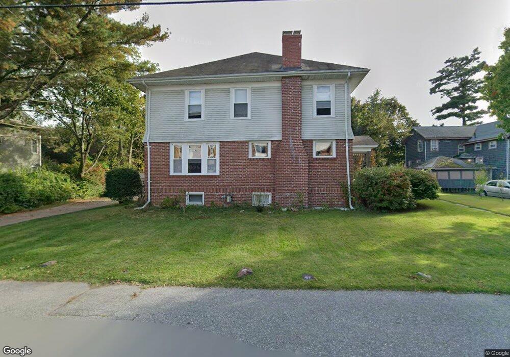
13 Brookfield Rd Riverside, RI 02915
Kent Heights NeighborhoodEstimated Value: $480,000 - $794,000
4
Beds
2
Baths
2,907
Sq Ft
$219/Sq Ft
Est. Value
About This Home
This home is located at 13 Brookfield Rd, Riverside, RI 02915 and is currently estimated at $636,558, approximately $218 per square foot. 13 Brookfield Rd is a home located in Providence County with nearby schools including East Providence High School, St Mary Academy-Bay View, and The Gordon School.
Ownership History
Date
Name
Owned For
Owner Type
Purchase Details
Closed on
Jan 30, 2024
Sold by
Smith Eileen M Est and Trubia
Bought by
Smith Brian T and Smith Maureen E
Current Estimated Value
Create a Home Valuation Report for This Property
The Home Valuation Report is an in-depth analysis detailing your home's value as well as a comparison with similar homes in the area
Home Values in the Area
Average Home Value in this Area
Purchase History
| Date | Buyer | Sale Price | Title Company |
|---|---|---|---|
| Smith Brian T | -- | None Available | |
| Smith Brian T | -- | None Available | |
| Smith Brian T | -- | None Available |
Source: Public Records
Tax History
| Year | Tax Paid | Tax Assessment Tax Assessment Total Assessment is a certain percentage of the fair market value that is determined by local assessors to be the total taxable value of land and additions on the property. | Land | Improvement |
|---|---|---|---|---|
| 2025 | $7,822 | $598,500 | $179,900 | $418,600 |
| 2024 | $7,780 | $507,500 | $150,000 | $357,500 |
| 2023 | $7,491 | $507,500 | $150,000 | $357,500 |
| 2022 | $81 | $368,900 | $97,300 | $271,600 |
| 2021 | $7,931 | $368,900 | $97,300 | $271,600 |
| 2020 | $7,596 | $368,900 | $97,300 | $271,600 |
| 2019 | $7,385 | $368,900 | $97,300 | $271,600 |
| 2018 | $7,152 | $312,600 | $75,600 | $237,000 |
| 2017 | $6,993 | $312,600 | $75,600 | $237,000 |
| 2016 | $6,958 | $312,600 | $75,600 | $237,000 |
| 2015 | $7,121 | $310,300 | $70,000 | $240,300 |
| 2014 | $7,121 | $310,300 | $70,000 | $240,300 |
Source: Public Records
Map
Nearby Homes
- 2941 Pawtucket Ave
- 42 Mountain Ave
- 53 Wampanoag Trail
- 34 Commack Rd
- 6 Fuller Ave
- 14 Maxfield Ave
- 180 Grassmere Ave
- 72 Allerton Ave
- 25 Bullocks Point Ave Unit 5C
- 33 Bullocks Point Ave Unit 5C
- 43 Bullocks Point Ave Unit 4A
- 74 Brookhaven Dr
- 77 Gardiner Ave
- 177 Dover Ave
- 151 Willett Ave Unit 2
- 151 Dover Ave
- 25 Arnold St
- 103 Burnside Ave
- 378 Juniper St
- 61 Armington St
- 3062 Pawtucket Ave
- 15 Brookfield Rd
- 19 Brookfield Rd
- 20 Brookfield Rd
- 3067 Pawtucket Ave
- 3059 Pawtucket Ave
- 3059 Pawtucket Ave Unit 2
- 1 Aberdeen Rd
- 3051 Pawtucket Ave
- 3073 Pawtucket Ave
- 3051 Pawtucket Ave
- 35 Brookfield Rd
- 3075 3077 Pawtucket Ave
- 3075 Pawtucket Ave Unit 3077
- 10 Aberdeen Rd
- 26 Brookfield Rd
- 10 Bond Rd
- 13 Boyden Blvd
- 3031 Pawtucket Ave
- 3031 Pawtucket Ave
Your Personal Tour Guide
Ask me questions while you tour the home.