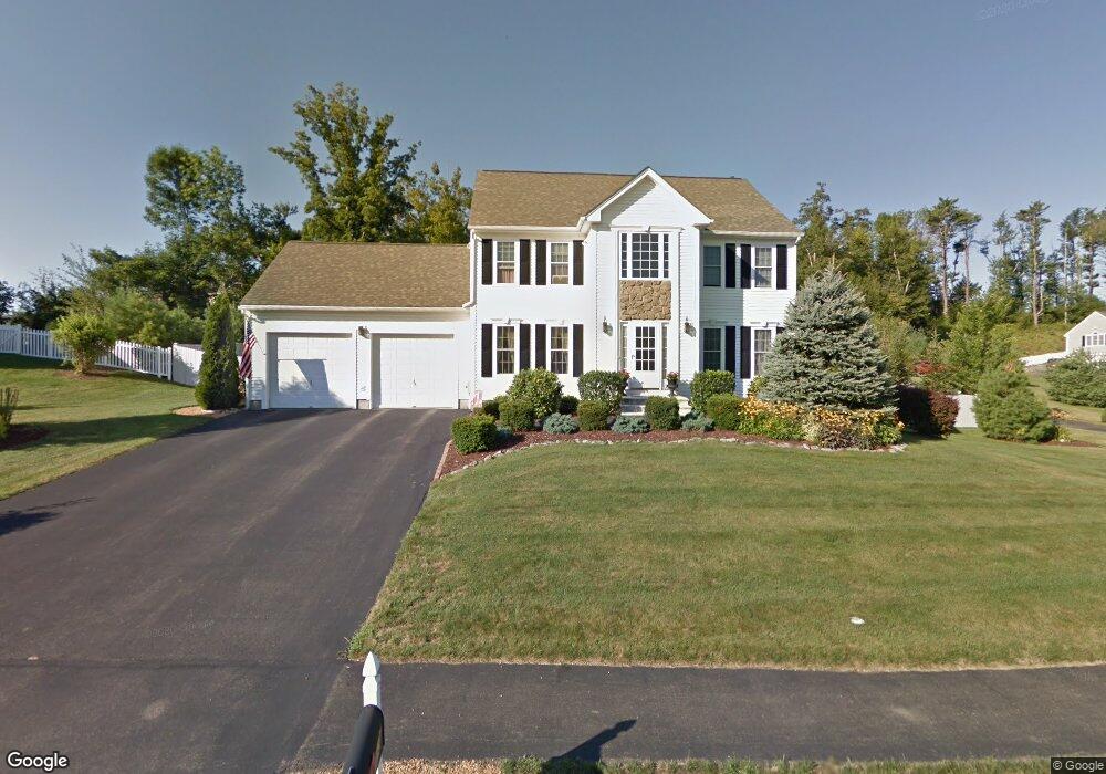
13 Brunelle Dr Rutland, MA 01543
Estimated Value: $611,563 - $673,000
4
Beds
3
Baths
2,146
Sq Ft
$300/Sq Ft
Est. Value
About This Home
This home is located at 13 Brunelle Dr, Rutland, MA 01543 and is currently estimated at $643,141, approximately $299 per square foot. 13 Brunelle Dr is a home located in Worcester County with nearby schools including Wachusett Regional High School.
Ownership History
Date
Name
Owned For
Owner Type
Purchase Details
Closed on
Nov 30, 2018
Sold by
Gagnon Virginia G
Bought by
Gagnon 2018 Rt and Gagnon
Current Estimated Value
Purchase Details
Closed on
Dec 24, 2015
Sold by
Bear Hill Estates Llc
Bought by
Molnar 3Rd Richard S and Molnar Erin A
Home Financials for this Owner
Home Financials are based on the most recent Mortgage that was taken out on this home.
Original Mortgage
$294,500
Interest Rate
3.99%
Mortgage Type
New Conventional
Purchase Details
Closed on
May 14, 2012
Sold by
Highlands At Brunelle
Bought by
Engle Kevin R and Dorsey-Engle Deborah A
Create a Home Valuation Report for This Property
The Home Valuation Report is an in-depth analysis detailing your home's value as well as a comparison with similar homes in the area
Home Values in the Area
Average Home Value in this Area
Purchase History
| Date | Buyer | Sale Price | Title Company |
|---|---|---|---|
| Gagnon 2018 Rt | -- | -- | |
| Gagnon 2018 Rt | -- | -- | |
| Molnar 3Rd Richard S | $312,538 | -- | |
| Engle Kevin R | -- | -- |
Source: Public Records
Mortgage History
| Date | Status | Borrower | Loan Amount |
|---|---|---|---|
| Previous Owner | Molnar 3Rd Richard S | $294,500 |
Source: Public Records
Tax History Compared to Growth
Tax History
| Year | Tax Paid | Tax Assessment Tax Assessment Total Assessment is a certain percentage of the fair market value that is determined by local assessors to be the total taxable value of land and additions on the property. | Land | Improvement |
|---|---|---|---|---|
| 2025 | $7,467 | $524,400 | $98,900 | $425,500 |
| 2024 | $7,360 | $496,300 | $88,700 | $407,600 |
| 2023 | $6,715 | $489,400 | $83,700 | $405,700 |
| 2022 | $6,280 | $397,700 | $70,900 | $326,800 |
| 2021 | $6,189 | $370,600 | $70,900 | $299,700 |
| 2020 | $5,751 | $326,600 | $66,700 | $259,900 |
| 2019 | $5,693 | $318,200 | $61,100 | $257,100 |
| 2018 | $5,461 | $301,200 | $61,100 | $240,100 |
| 2017 | $5,518 | $301,200 | $61,100 | $240,100 |
| 2016 | $5,202 | $299,500 | $60,600 | $238,900 |
| 2015 | $5,129 | $290,600 | $60,600 | $230,000 |
| 2014 | $4,972 | $290,600 | $60,600 | $230,000 |
Source: Public Records
Map
Nearby Homes
- 16 Richards Ave
- 40 Brunelle Dr
- 55 Pommogussett Rd
- 5 Miles Rd
- 35 Brintnal Dr
- 2 Simon Davis Dr
- 25 Watson Ln
- 32 Pommogussett Rd Unit 1
- 73 Brintnal Dr
- 101 Brintnal Dr
- 10 Soucy Dr
- 47 Woodside Ave
- 51 Woodside Ave
- 28 Forest Hill Dr
- 11 Lewis St
- 21 Lewis St
- 6 Lewis St
- 12 Lewis St
- 27 Lewis St
- Lot 24R Quail Run
- 11 Brunelle Dr
- 15 Brunelle Dr
- 19 Richards Ave
- 14 Brunelle Dr
- 16 Brunelle Dr
- 12 Brunelle Dr
- 21 Richards Ave
- 20 Brunelle Dr
- 19 Brunelle Dr
- 17 Richards Ave
- 10 Brunelle Dr
- 22 Brunelle Dr
- 8 Brunelle Dr
- 21 Brunelle Dr
- 7 Brunelle Dr
- 2 Winifreds Way
- 14 Marjorie Ln
- 4 Brunelle Dr
- 24 Brunelle Dr
- Lot C 3 77 E County Rd