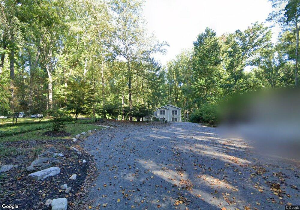
13 Burwood Ct Lutherville, MD 21093
Falls Road Corridor NeighborhoodEstimated Value: $708,000 - $857,000
--
Bed
1
Bath
2,297
Sq Ft
$336/Sq Ft
Est. Value
About This Home
This home is located at 13 Burwood Ct, Lutherville, MD 21093 and is currently estimated at $771,643, approximately $335 per square foot. 13 Burwood Ct is a home located in Baltimore County with nearby schools including Fort Garrison Elementary School, Pikesville Middle School, and Pikesville High School.
Ownership History
Date
Name
Owned For
Owner Type
Purchase Details
Closed on
Jul 29, 2013
Sold by
Balch Jeanne and Balch Brian
Bought by
Messner Emil J and Messner Donna A
Current Estimated Value
Purchase Details
Closed on
Aug 19, 2011
Sold by
Esptein Warren
Bought by
Balch Jeanne and Balch Brian
Home Financials for this Owner
Home Financials are based on the most recent Mortgage that was taken out on this home.
Original Mortgage
$124,800
Interest Rate
4.52%
Mortgage Type
New Conventional
Purchase Details
Closed on
Aug 22, 2007
Sold by
Axe Steven
Bought by
Epstein Warren
Purchase Details
Closed on
Jul 18, 2007
Sold by
Axe Steven
Bought by
Epstein Warren
Purchase Details
Closed on
Mar 18, 2003
Sold by
Gerstley Ronald S Gerstley Lee M
Bought by
Axe Steven
Create a Home Valuation Report for This Property
The Home Valuation Report is an in-depth analysis detailing your home's value as well as a comparison with similar homes in the area
Home Values in the Area
Average Home Value in this Area
Purchase History
| Date | Buyer | Sale Price | Title Company |
|---|---|---|---|
| Messner Emil J | $129,150 | Colony Title Group Ltd | |
| Balch Jeanne | $156,000 | None Available | |
| Epstein Warren | $150,000 | -- | |
| Epstein Warren | $150,000 | -- | |
| Axe Steven | $153,000 | -- |
Source: Public Records
Mortgage History
| Date | Status | Borrower | Loan Amount |
|---|---|---|---|
| Previous Owner | Balch Jeanne | $124,800 |
Source: Public Records
Tax History Compared to Growth
Tax History
| Year | Tax Paid | Tax Assessment Tax Assessment Total Assessment is a certain percentage of the fair market value that is determined by local assessors to be the total taxable value of land and additions on the property. | Land | Improvement |
|---|---|---|---|---|
| 2025 | $6,338 | $605,400 | $187,400 | $418,000 |
| 2024 | $6,338 | $562,633 | $0 | $0 |
| 2023 | $3,050 | $519,867 | $0 | $0 |
| 2022 | $2,921 | $477,100 | $187,400 | $289,700 |
| 2021 | $5,460 | $461,333 | $0 | $0 |
| 2020 | $5,460 | $445,567 | $0 | $0 |
| 2019 | $5,269 | $429,800 | $187,400 | $242,400 |
| 2018 | $1,770 | $146,000 | $146,000 | $0 |
| 2017 | $1,753 | $146,000 | $0 | $0 |
| 2016 | $1,753 | $146,000 | $0 | $0 |
| 2015 | $1,753 | $146,000 | $0 | $0 |
| 2014 | $1,753 | $146,000 | $0 | $0 |
Source: Public Records
Map
Nearby Homes
- 1134 Castanea Ct
- 1208 Scotts Knoll Ct
- 11615 Woodland Dr
- 11704 Woodland Dr
- 11812 Meylston Dr
- 1718 Greenspring Valley Rd
- 13 Dipping Pond Ct
- 0 Kelley Ave
- 11512 Greenspring Ave
- 1011 Coachford Ct
- 13 Sugarvale Way
- 1511 Peachwood Ln
- 1511 - B Peachwood Ln
- 2307 Shaded Brook Dr
- 11713 Greenspring Ave
- 2318 Shaded Brook Dr
- 1501 - C Peachwood Ln
- 1501 - B Peachwood Ln
- 11006 Valley Heights Dr
- 704 Chapel Ridge Rd
- 11 Burwood Ct
- 9 Burwood Ct
- 10 Burwood Ct
- 8 Candlestick Dr
- 5 Burwood Ct
- 6 Candlestick Dr
- 7 Candlestick Dr
- 1212 Scotts Knoll Ct
- 8 Burwood Ct
- 3 Burwood Ct
- 4 Candlestick Dr
- 6 Burwood Ct
- 1209 Scotts Knoll Ct
- 5 Candlestick Dr
- 4 Burwood Ct
- 1210 Scotts Knoll Ct
- 3 Candlestick Dr
- 1412 Highview Dr
- 1414 Highview Dr
- 15 Burwood Ct