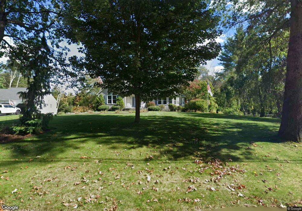
13 Cargill Rd Cumberland, RI 02864
Arnold Mills NeighborhoodEstimated Value: $788,000 - $983,000
4
Beds
3
Baths
3,470
Sq Ft
$247/Sq Ft
Est. Value
About This Home
This home is located at 13 Cargill Rd, Cumberland, RI 02864 and is currently estimated at $856,189, approximately $246 per square foot. 13 Cargill Rd is a home located in Providence County with nearby schools including Garvin Memorial School, Joseph L. McCourt Middle School, and Cumberland High School.
Ownership History
Date
Name
Owned For
Owner Type
Purchase Details
Closed on
May 7, 2021
Sold by
Hughes Matthew W and Hughes Tresa A
Bought by
Kern James and Lambert Jill A
Current Estimated Value
Home Financials for this Owner
Home Financials are based on the most recent Mortgage that was taken out on this home.
Original Mortgage
$490,000
Outstanding Balance
$444,062
Interest Rate
3.1%
Mortgage Type
Purchase Money Mortgage
Estimated Equity
$412,127
Purchase Details
Closed on
Mar 31, 2008
Sold by
Cambio James P and Cambio Judy P
Bought by
Hughes Matthew and Hughes Teresa
Home Financials for this Owner
Home Financials are based on the most recent Mortgage that was taken out on this home.
Original Mortgage
$417,000
Interest Rate
5.76%
Mortgage Type
Purchase Money Mortgage
Purchase Details
Closed on
May 31, 2002
Sold by
Petruccillo Vincent E
Bought by
Cambio James P and Cambio Judy P
Create a Home Valuation Report for This Property
The Home Valuation Report is an in-depth analysis detailing your home's value as well as a comparison with similar homes in the area
Home Values in the Area
Average Home Value in this Area
Purchase History
| Date | Buyer | Sale Price | Title Company |
|---|---|---|---|
| Kern James | $630,000 | None Available | |
| Hughes Matthew | $525,000 | -- | |
| Cambio James P | $420,000 | -- |
Source: Public Records
Mortgage History
| Date | Status | Borrower | Loan Amount |
|---|---|---|---|
| Open | Kern James | $490,000 | |
| Previous Owner | Cambio James P | $352,000 | |
| Previous Owner | Cambio James P | $411,000 | |
| Previous Owner | Cambio James P | $417,000 |
Source: Public Records
Tax History Compared to Growth
Tax History
| Year | Tax Paid | Tax Assessment Tax Assessment Total Assessment is a certain percentage of the fair market value that is determined by local assessors to be the total taxable value of land and additions on the property. | Land | Improvement |
|---|---|---|---|---|
| 2025 | $7,144 | $582,200 | $145,000 | $437,200 |
| 2024 | $6,957 | $582,200 | $145,000 | $437,200 |
| 2023 | $6,765 | $582,200 | $145,000 | $437,200 |
| 2022 | $6,888 | $459,500 | $132,200 | $327,300 |
| 2021 | $6,773 | $459,500 | $132,200 | $327,300 |
| 2020 | $6,580 | $459,500 | $132,200 | $327,300 |
| 2019 | $7,602 | $478,700 | $137,100 | $341,600 |
| 2018 | $951 | $478,700 | $137,100 | $341,600 |
| 2017 | $7,281 | $478,700 | $137,100 | $341,600 |
| 2016 | $7,092 | $415,200 | $141,300 | $273,900 |
| 2015 | $7,092 | $415,200 | $141,300 | $273,900 |
| 2014 | $7,092 | $415,200 | $141,300 | $273,900 |
| 2013 | $7,109 | $450,500 | $140,900 | $309,600 |
Source: Public Records
Map
Nearby Homes
- 164 Bear Hill Rd Unit 24
- 154 Bear Hill Rd Unit 405
- 44 Powder Horn Way
- 15 Standring St
- 44 Montclair Dr
- 160 Shirley Dr
- 30 Bear Hill Rd
- 41 Indiana Ave
- 41&39 Indiana Ave
- 143 Waumsett Ave
- 94 Hines Rd
- 66 Pequot Ave
- 56 Greenfield Rd
- 143 Millard Rd
- 181 Paine Rd
- 105 Newell Dr
- 0 Narragansett Rd
- 98 Iroquois Rd
- 18 Susan Dr
- 1551 Diamond Hill Rd