Estimated Value: $330,149 - $433,000
--
Bed
4
Baths
3,308
Sq Ft
$112/Sq Ft
Est. Value
About This Home
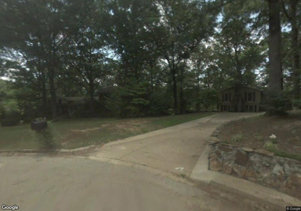
This home is located at 13 Carlow Cir, Wynne, AR 72396 and is currently estimated at $369,287, approximately $111 per square foot. 13 Carlow Cir is a home located in Cross County with nearby schools including Wynne Intermediate School, Wynne Primary School, and Wynne Junior High School.
Ownership History
Date
Name
Owned For
Owner Type
Purchase Details
Closed on
Feb 12, 2021
Sold by
Moore Kenneth and Moore Cassie
Bought by
Campbell Christopher J
Current Estimated Value
Home Financials for this Owner
Home Financials are based on the most recent Mortgage that was taken out on this home.
Original Mortgage
$241,052
Outstanding Balance
$215,595
Interest Rate
2.7%
Mortgage Type
FHA
Estimated Equity
$153,692
Purchase Details
Closed on
Aug 3, 2012
Sold by
Boeckmann Richard E and The Richard E Boeckmann Trust
Bought by
Moore Kenneth and Moore Cassie
Purchase Details
Closed on
Jun 7, 1999
Bought by
Boeckmann, Richard &Mary E Trust
Purchase Details
Closed on
Jul 1, 1988
Bought by
Boeckmann Richard and Boeckmann Mary E
Create a Home Valuation Report for This Property
The Home Valuation Report is an in-depth analysis detailing your home's value as well as a comparison with similar homes in the area
Home Values in the Area
Average Home Value in this Area
Purchase History
| Date | Buyer | Sale Price | Title Company |
|---|---|---|---|
| Campbell Christopher J | $246,000 | Cowling Title | |
| Moore Kenneth | $215,000 | None Available | |
| Boeckmann, Richard &Mary E Trust | -- | -- | |
| Boeckmann Richard | $135,000 | -- |
Source: Public Records
Mortgage History
| Date | Status | Borrower | Loan Amount |
|---|---|---|---|
| Open | Campbell Christopher J | $241,052 |
Source: Public Records
Tax History Compared to Growth
Tax History
| Year | Tax Paid | Tax Assessment Tax Assessment Total Assessment is a certain percentage of the fair market value that is determined by local assessors to be the total taxable value of land and additions on the property. | Land | Improvement |
|---|---|---|---|---|
| 2024 | $1,618 | $42,880 | $5,050 | $37,830 |
| 2023 | $1,698 | $42,880 | $5,050 | $37,830 |
| 2022 | $1,748 | $42,880 | $5,050 | $37,830 |
| 2021 | $1,676 | $42,880 | $5,050 | $37,830 |
| 2020 | $1,584 | $42,880 | $5,050 | $37,830 |
| 2019 | $1,459 | $37,050 | $4,140 | $32,910 |
| 2018 | $1,484 | $37,050 | $4,140 | $32,910 |
| 2017 | $1,484 | $37,050 | $4,140 | $32,910 |
| 2016 | $1,484 | $37,050 | $4,140 | $32,910 |
| 2015 | $1,484 | $37,050 | $4,140 | $32,910 |
| 2014 | $1,407 | $35,490 | $5,100 | $30,390 |
Source: Public Records
Map
Nearby Homes
- 6 A Londonderry Cir
- 1484 Hamilton Ave E
- 35 Morningside Dr
- 29 Sunset Dr
- 2 Donegal Cir
- 568 Killough Rd N
- 206 Maple Dr
- 4 Briarcliff Cir
- 594 Malone St N
- 102 Lombardy Ln
- 1011 Hilltop Dr
- 1910 Hess Ln
- 129 Lombardy Ln
- 116 Bailey St S
- 1404 Airpark Rd
- 1920 Airpark Rd
- 1310 Bridges Ave E
- 1201 Peterson Dr
- 226 Nathan Dr E
- 108 Nathan Dr E