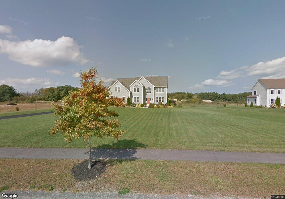
13 Cedar Pond Rd Lakeville, MA 02347
Estimated Value: $826,697 - $980,000
4
Beds
3
Baths
2,953
Sq Ft
$306/Sq Ft
Est. Value
About This Home
This home is located at 13 Cedar Pond Rd, Lakeville, MA 02347 and is currently estimated at $903,174, approximately $305 per square foot. 13 Cedar Pond Rd is a home located in Plymouth County with nearby schools including Assawompset Elementary School, George R Austin Intermediate School, and Freetown-Lakeville Middle School.
Ownership History
Date
Name
Owned For
Owner Type
Purchase Details
Closed on
Aug 29, 2006
Sold by
Qbi Homes Inc
Bought by
Quinlan John and Millari-Quinlan Emma G
Current Estimated Value
Home Financials for this Owner
Home Financials are based on the most recent Mortgage that was taken out on this home.
Original Mortgage
$468,256
Outstanding Balance
$283,649
Interest Rate
6.83%
Mortgage Type
Purchase Money Mortgage
Estimated Equity
$619,525
Create a Home Valuation Report for This Property
The Home Valuation Report is an in-depth analysis detailing your home's value as well as a comparison with similar homes in the area
Home Values in the Area
Average Home Value in this Area
Purchase History
| Date | Buyer | Sale Price | Title Company |
|---|---|---|---|
| Quinlan John | $585,321 | -- |
Source: Public Records
Mortgage History
| Date | Status | Borrower | Loan Amount |
|---|---|---|---|
| Open | Quinlan John | $468,256 | |
| Closed | Quinlan John | $75,000 |
Source: Public Records
Tax History Compared to Growth
Tax History
| Year | Tax Paid | Tax Assessment Tax Assessment Total Assessment is a certain percentage of the fair market value that is determined by local assessors to be the total taxable value of land and additions on the property. | Land | Improvement |
|---|---|---|---|---|
| 2025 | $7,927 | $765,900 | $211,800 | $554,100 |
| 2024 | $7,804 | $739,700 | $207,600 | $532,100 |
| 2023 | $7,574 | $679,300 | $197,500 | $481,800 |
| 2022 | $7,553 | $625,800 | $202,900 | $422,900 |
| 2021 | $7,262 | $568,700 | $179,700 | $389,000 |
| 2020 | $7,111 | $544,500 | $174,000 | $370,500 |
| 2019 | $6,786 | $510,200 | $167,400 | $342,800 |
| 2018 | $6,654 | $489,600 | $156,000 | $333,600 |
| 2017 | $6,299 | $454,500 | $157,900 | $296,600 |
| 2016 | $6,141 | $434,600 | $150,400 | $284,200 |
| 2015 | $6,089 | $427,300 | $161,500 | $265,800 |
Source: Public Records
Map
Nearby Homes
- 57 Long Point Rd Unit 210
- 13 Pine Bluff
- 9 Pine Bluff
- 120 Hackett Ave
- 7 2nd Ave
- 14 2nd Ave
- 11 5th Ave
- 15 Morrison Way
- 14 Spruce Rd
- 19 Hilltop Acres Dr
- 21 Bennett Rd
- 39 Bedford St
- 2 Hayes St
- 36 Winfield St
- 8 Denise Ave
- 167 Old Miller St
- 29 Old Powder House Rd
- 247 Braley Hill Rd
- 562 North Ave
- 714 Snipatuit Rd
- 15 Cedar Pond Rd
- 11 Cedar Pond Rd
- 1 Ron Cir
- 24 Cedar Pond Rd
- 22 Cedar Pond Rd
- 22 Cedar Pond Rd Unit 31
- 9 Cedar Pond Rd
- 3 Ron Cir
- 10 Cedar Pond Rd
- 8 Cedar Pond Rd
- 2 Ron Cir
- 20 Cedar Pond Rd
- 12 Cedar Pond Rd
- 7 Cedar Pond Rd
- 14 Cedar Pond Rd
- 16 Cedar Pond Rd
- 6 Cedar Pond Rd
- 17 Cedar Pond Rd
- 5 Cedar Pond Rd
- 3 Cedar Pond Rd