13 Centerline Dr Trenton, ME 04605
Estimated Value: $434,000 - $761,000
3
Beds
2
Baths
906
Sq Ft
$673/Sq Ft
Est. Value
About This Home
This home is located at 13 Centerline Dr, Trenton, ME 04605 and is currently estimated at $609,514, approximately $672 per square foot. 13 Centerline Dr is a home located in Hancock County with nearby schools including Trenton Elementary School.
Ownership History
Date
Name
Owned For
Owner Type
Purchase Details
Closed on
Nov 20, 2017
Sold by
Mary M Marois
Bought by
Wisnewski Joseph and Wisnewski Susan
Current Estimated Value
Home Financials for this Owner
Home Financials are based on the most recent Mortgage that was taken out on this home.
Original Mortgage
$270,000
Outstanding Balance
$226,842
Interest Rate
3.95%
Estimated Equity
$382,672
Create a Home Valuation Report for This Property
The Home Valuation Report is an in-depth analysis detailing your home's value as well as a comparison with similar homes in the area
Home Values in the Area
Average Home Value in this Area
Purchase History
| Date | Buyer | Sale Price | Title Company |
|---|---|---|---|
| Wisnewski Joseph | -- | -- |
Source: Public Records
Mortgage History
| Date | Status | Borrower | Loan Amount |
|---|---|---|---|
| Open | Wisnewski Joseph | $270,000 | |
| Closed | Wisnewski Joseph | -- |
Source: Public Records
Tax History Compared to Growth
Tax History
| Year | Tax Paid | Tax Assessment Tax Assessment Total Assessment is a certain percentage of the fair market value that is determined by local assessors to be the total taxable value of land and additions on the property. | Land | Improvement |
|---|---|---|---|---|
| 2024 | $5,683 | $483,700 | $278,200 | $205,500 |
| 2023 | $4,223 | $280,800 | $185,500 | $95,300 |
| 2022 | $3,912 | $280,800 | $185,500 | $95,300 |
| 2021 | $3,847 | $280,800 | $185,500 | $95,300 |
| 2020 | $3,740 | $280,800 | $185,500 | $95,300 |
| 2019 | $3,350 | $281,300 | $185,500 | $95,800 |
| 2018 | $3,043 | $282,800 | $185,500 | $97,300 |
| 2017 | $2,632 | $262,200 | $185,500 | $76,700 |
| 2016 | $2,629 | $262,100 | $185,500 | $76,600 |
| 2015 | $2,680 | $262,700 | $185,500 | $77,200 |
| 2014 | $2,678 | $262,500 | $185,500 | $77,000 |
| 2013 | $2,710 | $260,600 | $184,900 | $75,700 |
Source: Public Records
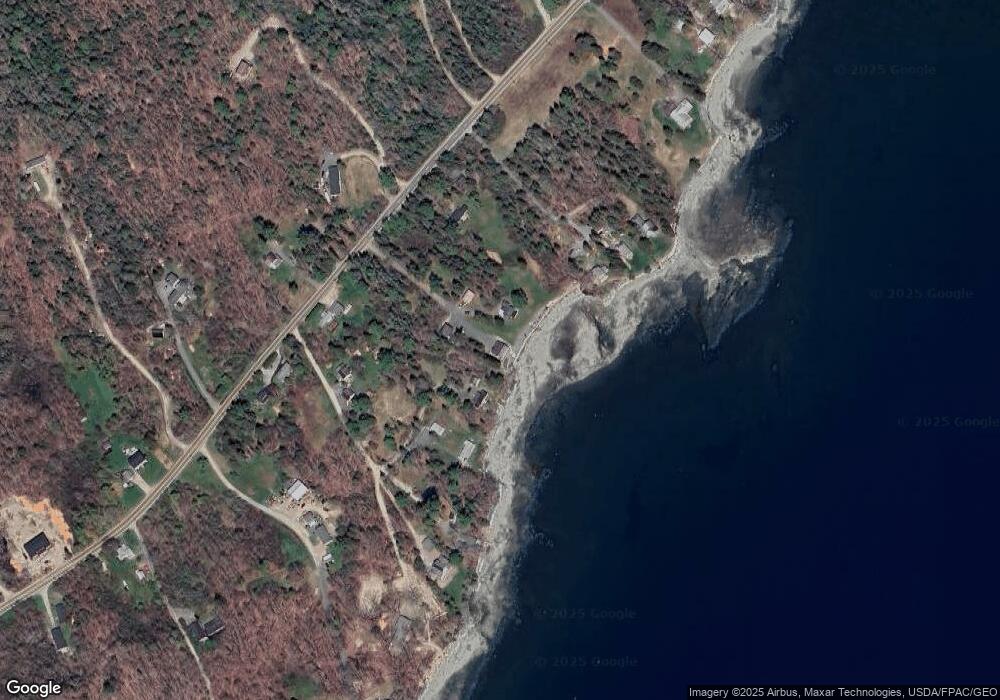
Map
Nearby Homes
- 35 Nutting Ln
- 001-108 Oak Point Rd
- 48 Sheltons Rd
- 26 Pressey Ln
- 58 Pressey Ln
- 53 Woodland Dr
- 363 Oak Point Rd
- 31 Daybreak Ln
- 37 Hanna Dr
- 16 Blodgett Ln
- 16 Blodgett Dr
- 0 Country Way
- 1439 State Highway 102
- Lot 38 Arrowhead Rd
- 1274 Bayside Rd
- Lot 5 Aspen Way
- Lot 7 Aspen Way
- 005 Newbury Neck Rd
- Lot 79-01 Knox Rd
- 159 Gilbert Farm Rd
- 15 Tamarac Cove Ln
- 7 Tamarac Cove Ln
- 14 Centerline Dr
- 8 Western Bay Ln
- 20 Western Bay Ln
- 816 Oak Point Rd
- 28 Western Bay Ln
- 31 Western Bay Ln
- 800 Oak Point Rd
- 18 Walters Way
- 826 Oak Point Rd
- 0 Eider Way Ln
- 39 Walters Way
- 20 Eider Way Ln
- 36 Walters Way
- 4 Birch Heights Dr
- 19 Eider Way Ln
- 0 Route 230 Unit 416413
- 0 Route 230 Unit 416409
- 0 Rt 230