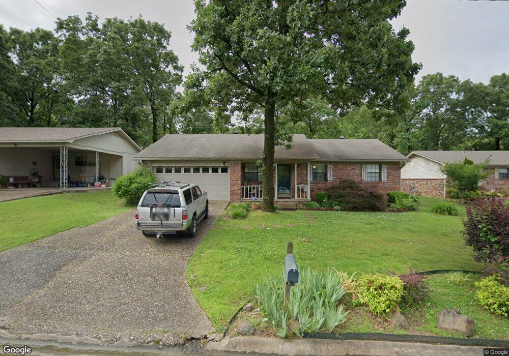
13 Chad Ct North Little Rock, AR 72118
Amboy NeighborhoodEstimated Value: $126,880 - $169,000
--
Bed
2
Baths
1,278
Sq Ft
$112/Sq Ft
Est. Value
About This Home
This home is located at 13 Chad Ct, North Little Rock, AR 72118 and is currently estimated at $142,720, approximately $111 per square foot. 13 Chad Ct is a home located in Pulaski County with nearby schools including Amboy Elementary School, North Little Rock Middle School 6th Grade Campus, and North Little Rock High School.
Ownership History
Date
Name
Owned For
Owner Type
Purchase Details
Closed on
Dec 14, 2012
Sold by
Wylie Leslie C and Wylie Tim
Bought by
Poole Brenda J
Current Estimated Value
Purchase Details
Closed on
Dec 6, 2012
Sold by
Poole Robin L
Bought by
Poole Brenda J
Purchase Details
Closed on
Dec 2, 2012
Sold by
Thompson Jaqueline D and Thompson Barry
Bought by
Poole Brenda J
Purchase Details
Closed on
Sep 26, 2012
Sold by
Poole Brenda J and Poole Robin L
Bought by
Poole Robin L and Thompson Jaqueline D
Purchase Details
Closed on
Jan 5, 1999
Sold by
Shrum Melbourne Ray and Shrum Rebecca Ann
Bought by
Poole Brenda J and Poole Robin L
Home Financials for this Owner
Home Financials are based on the most recent Mortgage that was taken out on this home.
Original Mortgage
$66,450
Interest Rate
6.74%
Mortgage Type
FHA
Create a Home Valuation Report for This Property
The Home Valuation Report is an in-depth analysis detailing your home's value as well as a comparison with similar homes in the area
Home Values in the Area
Average Home Value in this Area
Purchase History
| Date | Buyer | Sale Price | Title Company |
|---|---|---|---|
| Poole Brenda J | -- | None Available | |
| Poole Brenda J | -- | None Available | |
| Poole Brenda J | -- | None Available | |
| Poole Robin L | -- | The Title Company | |
| Poole Brenda J | $67,000 | American Abstract & Title Co |
Source: Public Records
Mortgage History
| Date | Status | Borrower | Loan Amount |
|---|---|---|---|
| Previous Owner | Poole Brenda J | $66,450 |
Source: Public Records
Tax History Compared to Growth
Tax History
| Year | Tax Paid | Tax Assessment Tax Assessment Total Assessment is a certain percentage of the fair market value that is determined by local assessors to be the total taxable value of land and additions on the property. | Land | Improvement |
|---|---|---|---|---|
| 2025 | $1,043 | $23,630 | $4,200 | $19,430 |
| 2024 | $1,043 | $23,630 | $4,200 | $19,430 |
| 2023 | $1,043 | $23,630 | $4,200 | $19,430 |
| 2022 | $1,043 | $23,630 | $4,200 | $19,430 |
| 2021 | $1,043 | $15,610 | $2,900 | $12,710 |
| 2020 | $668 | $15,610 | $2,900 | $12,710 |
| 2019 | $568 | $15,610 | $2,900 | $12,710 |
| 2018 | $693 | $15,610 | $2,900 | $12,710 |
| 2017 | $693 | $15,610 | $2,900 | $12,710 |
| 2016 | $709 | $15,880 | $2,700 | $13,180 |
| 2015 | $1,059 | $15,856 | $2,700 | $13,156 |
| 2014 | $1,059 | $15,856 | $2,700 | $13,156 |
Source: Public Records
Map
Nearby Homes
- 901 W 58th St
- 5630 Foxboro Dr
- 1108 Nicole Dr
- 900 Donovan Briley Blvd
- Lot 87 Foxboro Dr
- Lot 86 Foxboro Dr
- Lot 85 Foxboro Dr
- Lot 84 Foxboro Dr
- Lot 83 Foxboro Dr
- Lot 82 Foxboro Dr
- Lot 96 Foxboro Dr
- Lot 95 Foxboro Dr
- Lot 90 Foxboro Dr
- Lot 91 Foxboro Dr
- Lot 89 Foxboro Dr
- Lot 88 Foxboro Dr
- 5504 Allen St
- 5315 Chandler St
- 5321 Marion St
- 1400 Nicole Dr