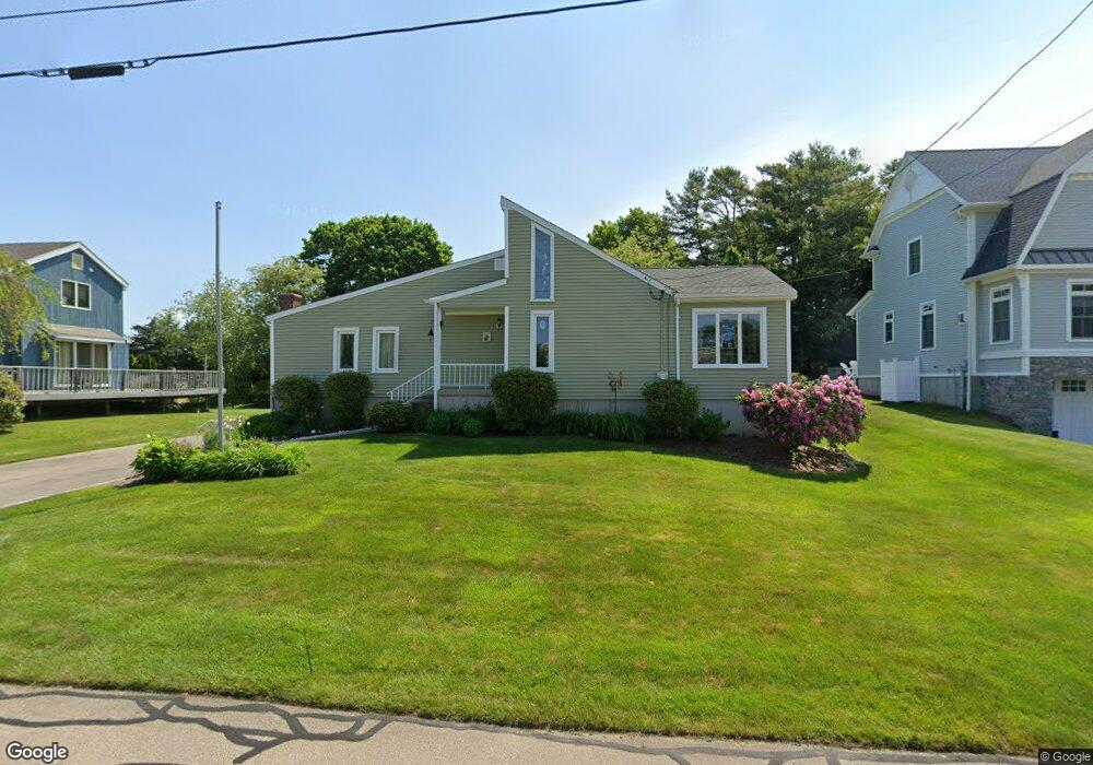
13 Clifford Dr Westerly, RI 02891
Estimated Value: $753,000 - $2,713,000
3
Beds
2
Baths
1,601
Sq Ft
$809/Sq Ft
Est. Value
About This Home
This home is located at 13 Clifford Dr, Westerly, RI 02891 and is currently estimated at $1,295,653, approximately $809 per square foot. 13 Clifford Dr is a home located in Washington County with nearby schools including Westerly High School.
Ownership History
Date
Name
Owned For
Owner Type
Purchase Details
Closed on
Mar 31, 2022
Sold by
Arthur R Tierney Ret and Tierney
Bought by
Butler Carol T
Current Estimated Value
Purchase Details
Closed on
Feb 3, 2022
Sold by
Kathleen P Tierney Ret and Tierney
Bought by
Arthur R Tierney Ret and Tierney
Purchase Details
Closed on
Jun 4, 1984
Bought by
Tierney Arthur R
Create a Home Valuation Report for This Property
The Home Valuation Report is an in-depth analysis detailing your home's value as well as a comparison with similar homes in the area
Home Values in the Area
Average Home Value in this Area
Purchase History
| Date | Buyer | Sale Price | Title Company |
|---|---|---|---|
| Butler Carol T | -- | None Available | |
| Butler Carol T | -- | None Available | |
| Butler Carol T | -- | None Available | |
| Arthur R Tierney Ret | -- | None Available | |
| Arthur R Tierney Ret | -- | None Available | |
| Arthur R Tierney Ret | -- | None Available | |
| Tierney Arthur R | -- | -- |
Source: Public Records
Tax History
| Year | Tax Paid | Tax Assessment Tax Assessment Total Assessment is a certain percentage of the fair market value that is determined by local assessors to be the total taxable value of land and additions on the property. | Land | Improvement |
|---|---|---|---|---|
| 2025 | $4,938 | $694,500 | $390,400 | $304,100 |
| 2024 | $5,071 | $516,900 | $279,100 | $237,800 |
| 2023 | $4,760 | $494,800 | $279,100 | $215,700 |
| 2022 | $4,730 | $494,800 | $279,100 | $215,700 |
| 2021 | $4,288 | $372,200 | $202,500 | $169,700 |
| 2020 | $4,210 | $372,200 | $202,500 | $169,700 |
| 2019 | $4,169 | $372,200 | $202,500 | $169,700 |
| 2018 | $4,318 | $363,500 | $202,500 | $161,000 |
| 2017 | $4,213 | $363,500 | $202,500 | $161,000 |
| 2016 | $4,246 | $363,500 | $202,500 | $161,000 |
| 2015 | $4,133 | $382,000 | $216,900 | $165,100 |
| 2014 | $4,064 | $382,000 | $216,900 | $165,100 |
Source: Public Records
Map
Nearby Homes
- 30 Clifford Dr
- 46 Salt Pond Way
- 20 Snowberry Ln
- 11 Bucks Trail
- 22 Breach Dr
- 15 Breach Dr
- 13 Plateau Rd
- 43 Noyes Neck Rd
- 7 Fenway Rd
- 446 Atlantic Ave
- 432 Atlantic Ave
- 112 Noyes Neck Rd
- 54 Sherwood Dr
- 19 Wicklow Rd
- 5 Robin Hollow Ln
- 342 Post Rd
- 346 Post Rd
- 8 Kettle Close
- 14 Evergreen Ln
- 9 Compass Way Unit 201
- 15 Clifford Dr
- 11 Clifford Dr
- 76 Weekapaug Rd Unit D
- 76 Weekapaug Rd Unit A
- 76 Weekapaug Rd Unit B
- 76 Weekapaug Rd Unit C
- 76B Weekapaug Rd
- 76 Weekapaug Rd
- 76D Weekapaug Rd
- 76A Weekapaug Rd
- 76C Weekapaug Rd
- 9 Clifford Dr
- 17 Clifford Dr
- 19 Clifford Dr
- 18 Clifford Dr
- 7 Clifford Dr
- 72 Weekapaug Westerly Rd
- 21 Clifford Dr
- 20 Clifford Dr
- 72B Weekapaug Rd
Your Personal Tour Guide
Ask me questions while you tour the home.