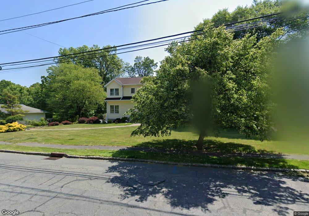
13 Cliffside Dr Livingston, NJ 07039
Estimated Value: $1,205,000 - $1,875,000
--
Bed
--
Bath
3,470
Sq Ft
$463/Sq Ft
Est. Value
About This Home
This home is located at 13 Cliffside Dr, Livingston, NJ 07039 and is currently estimated at $1,606,713, approximately $463 per square foot. 13 Cliffside Dr is a home located in Essex County with nearby schools including Livingston Sr High School and Aquinas Academy.
Ownership History
Date
Name
Owned For
Owner Type
Purchase Details
Closed on
Jul 21, 1998
Sold by
Santos Noel C
Bought by
Carlos Edgardo S
Current Estimated Value
Home Financials for this Owner
Home Financials are based on the most recent Mortgage that was taken out on this home.
Original Mortgage
$212,000
Outstanding Balance
$43,347
Interest Rate
6.99%
Estimated Equity
$1,563,366
Create a Home Valuation Report for This Property
The Home Valuation Report is an in-depth analysis detailing your home's value as well as a comparison with similar homes in the area
Home Values in the Area
Average Home Value in this Area
Purchase History
| Date | Buyer | Sale Price | Title Company |
|---|---|---|---|
| Carlos Edgardo S | $265,000 | -- |
Source: Public Records
Mortgage History
| Date | Status | Borrower | Loan Amount |
|---|---|---|---|
| Open | Carlos Edgardo S | $212,000 |
Source: Public Records
Tax History Compared to Growth
Tax History
| Year | Tax Paid | Tax Assessment Tax Assessment Total Assessment is a certain percentage of the fair market value that is determined by local assessors to be the total taxable value of land and additions on the property. | Land | Improvement |
|---|---|---|---|---|
| 2025 | $26,372 | $1,111,800 | $477,000 | $634,800 |
| 2024 | $26,372 | $1,111,800 | $477,000 | $634,800 |
| 2022 | $25,938 | $1,111,800 | $477,000 | $634,800 |
| 2021 | $25,727 | $1,111,800 | $477,000 | $634,800 |
| 2020 | $25,249 | $1,111,800 | $477,000 | $634,800 |
| 2019 | $24,580 | $939,600 | $427,000 | $512,600 |
| 2018 | $24,251 | $939,600 | $427,000 | $512,600 |
| 2017 | $23,932 | $939,600 | $427,000 | $512,600 |
| 2016 | $23,490 | $939,600 | $427,000 | $512,600 |
| 2015 | $23,142 | $939,600 | $427,000 | $512,600 |
| 2014 | $22,391 | $939,600 | $427,000 | $512,600 |
Source: Public Records
Map
Nearby Homes
- 24 Cliffside Dr
- 53 Rockledge Dr
- 6 Mayhew Dr
- 52 Congressional Pkwy
- 141 Madison Ct
- 41 W Mcclellan Ave
- 37 Filmore Ave
- 44 Lincoln Ave
- 27 Filmore Ave
- 11 Homestead Terrace
- 53 Morningside Dr
- 61 Hazel Ave
- 63 N Livingston Ave
- 5101 Pointe Gate Dr Unit 101
- 24 Garnet Terrace
- 354 Beaufort Ave
- 4403 Pointe Gate Dr
- 19 Hearthstone Terrace
- 36 Crestview Hill Rd
- 10 Elmwood Ct
- 11 Cliffside Dr
- 15 Cliffside Dr
- 10 White Oak Dr
- 8 White Oak Dr
- 12 White Oak Dr
- 6 White Oak Dr
- 14 White Oak Dr
- 14 Cliffside Dr
- 16 White Oak Dr
- 2 White Oak Dr
- 18 Cliffside Dr
- 12 Cliffside Dr
- 11 White Oak Dr
- 13 White Oak Dr
- 7 White Oak Dr
- 20 Cliffside Dr
- 5 White Oak Dr
- 10 Cliffside Dr
- 15 White Oak Dr
- 7 Cliffside Dr