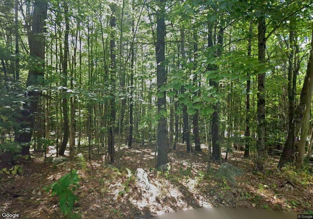
13 Cook Rd Templeton, MA 01468
Estimated Value: $297,000 - $343,657
1
Bed
1
Bath
978
Sq Ft
$322/Sq Ft
Est. Value
About This Home
This home is located at 13 Cook Rd, Templeton, MA 01468 and is currently estimated at $314,664, approximately $321 per square foot. 13 Cook Rd is a home with nearby schools including Narragansett Regional High School.
Ownership History
Date
Name
Owned For
Owner Type
Purchase Details
Closed on
Apr 30, 2025
Sold by
Leclere Roland J Est and Lafalam
Bought by
Mccaffrey Kevin F and Mccaffrey Catherine M
Current Estimated Value
Home Financials for this Owner
Home Financials are based on the most recent Mortgage that was taken out on this home.
Original Mortgage
$115,000
Outstanding Balance
$114,303
Interest Rate
5.99%
Mortgage Type
Purchase Money Mortgage
Estimated Equity
$200,361
Purchase Details
Closed on
Feb 16, 1981
Bought by
Leclerc Roland J and Leclerc Joan C
Create a Home Valuation Report for This Property
The Home Valuation Report is an in-depth analysis detailing your home's value as well as a comparison with similar homes in the area
Home Values in the Area
Average Home Value in this Area
Purchase History
| Date | Buyer | Sale Price | Title Company |
|---|---|---|---|
| Mccaffrey Kevin F | $289,000 | None Available | |
| Mccaffrey Kevin F | $289,000 | None Available | |
| Leclerc Roland J | -- | -- |
Source: Public Records
Mortgage History
| Date | Status | Borrower | Loan Amount |
|---|---|---|---|
| Open | Mccaffrey Kevin F | $115,000 | |
| Closed | Mccaffrey Kevin F | $115,000 | |
| Previous Owner | Leclerc Roland J | $8,900 | |
| Previous Owner | Leclerc Roland J | $75,000 |
Source: Public Records
Tax History
| Year | Tax Paid | Tax Assessment Tax Assessment Total Assessment is a certain percentage of the fair market value that is determined by local assessors to be the total taxable value of land and additions on the property. | Land | Improvement |
|---|---|---|---|---|
| 2025 | $3,470 | $286,300 | $68,000 | $218,300 |
| 2024 | $3,450 | $273,800 | $61,000 | $212,800 |
| 2023 | $3,265 | $252,700 | $61,000 | $191,700 |
| 2022 | $3,046 | $199,900 | $45,300 | $154,600 |
| 2021 | $3,022 | $187,600 | $45,300 | $142,300 |
| 2020 | $2,991 | $177,700 | $45,300 | $132,400 |
| 2018 | $2,511 | $150,200 | $41,200 | $109,000 |
| 2017 | $2,400 | $148,900 | $41,200 | $107,700 |
| 2016 | $2,181 | $132,400 | $41,200 | $91,200 |
| 2015 | $2,211 | $132,900 | $42,100 | $90,800 |
| 2014 | $2,158 | $132,900 | $42,100 | $90,800 |
Source: Public Records
Map
Nearby Homes
- 171 South Rd
- 152 Dudley Rd
- 16 French Rd
- 15 Hubbardston Rd
- 457 Patriots Rd
- 66 Victoria Ln
- 10 Baldwinville Rd
- 65 Victoria Ln
- 12 Otter River Rd
- 240 Barre Rd
- 216 Gray Rd
- 225 Queen Lake Rd
- 0 Mill St Unit 5033403
- 0 Mill St Unit 5007531
- 0 Mill St Unit 4996202
- 0 Mill St Unit 21522962
- 65 S Main St
- 420 Queen Lake Rd
- 18 S Main St
- 277 Baldwinville Rd
Your Personal Tour Guide
Ask me questions while you tour the home.
