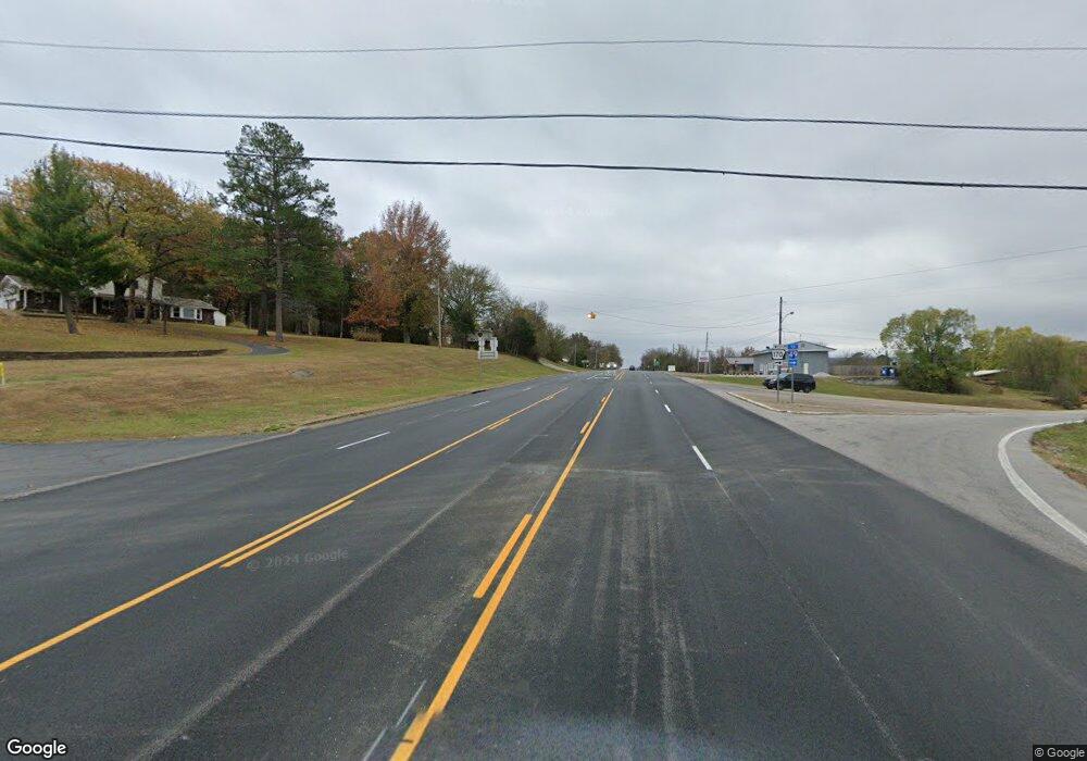
13 Crest St West Fork, AR 72774
Estimated Value: $161,000 - $219,000
3
Beds
1
Bath
1,200
Sq Ft
$167/Sq Ft
Est. Value
About This Home
This home is located at 13 Crest St, West Fork, AR 72774 and is currently estimated at $200,067, approximately $166 per square foot. 13 Crest St is a home located in Washington County with nearby schools including West Fork Elementary School, West Fork Middle School, and West Fork High School.
Ownership History
Date
Name
Owned For
Owner Type
Purchase Details
Closed on
Nov 14, 1995
Bought by
Magness Tom
Current Estimated Value
Purchase Details
Closed on
Jun 9, 1992
Bought by
Nay William P
Purchase Details
Closed on
Feb 1, 1992
Bought by
Secretary Of Veterans Affairs
Purchase Details
Closed on
Jan 15, 1992
Bought by
Blevins Gary A and Blevins Patricia A
Purchase Details
Closed on
Oct 21, 1991
Bought by
Superior Federal Bank, F.S.B.
Purchase Details
Closed on
Mar 15, 1988
Bought by
Graves Ronnie S and Graves Susan A
Purchase Details
Closed on
May 25, 1982
Bought by
Page Terry Lee and Candace Elaine
Create a Home Valuation Report for This Property
The Home Valuation Report is an in-depth analysis detailing your home's value as well as a comparison with similar homes in the area
Home Values in the Area
Average Home Value in this Area
Purchase History
| Date | Buyer | Sale Price | Title Company |
|---|---|---|---|
| Magness Tom | $56,000 | -- | |
| Nay William P | $42,000 | -- | |
| Secretary Of Veterans Affairs | -- | -- | |
| Blevins Gary A | -- | -- | |
| Superior Federal Bank, F.S.B. | -- | -- | |
| Graves Ronnie S | $34,000 | -- | |
| Page Terry Lee | $30,000 | -- |
Source: Public Records
Tax History Compared to Growth
Tax History
| Year | Tax Paid | Tax Assessment Tax Assessment Total Assessment is a certain percentage of the fair market value that is determined by local assessors to be the total taxable value of land and additions on the property. | Land | Improvement |
|---|---|---|---|---|
| 2025 | $407 | $32,630 | $7,000 | $25,630 |
| 2024 | $462 | $32,630 | $7,000 | $25,630 |
| 2023 | $498 | $32,630 | $7,000 | $25,630 |
| 2022 | $504 | $18,660 | $3,600 | $15,060 |
| 2021 | $466 | $18,660 | $3,600 | $15,060 |
| 2020 | $428 | $18,660 | $3,600 | $15,060 |
| 2019 | $390 | $14,400 | $3,000 | $11,400 |
| 2018 | $415 | $14,400 | $3,000 | $11,400 |
| 2017 | $393 | $14,400 | $3,000 | $11,400 |
| 2016 | $393 | $14,400 | $3,000 | $11,400 |
| 2015 | $393 | $14,400 | $3,000 | $11,400 |
| 2014 | $423 | $14,990 | $4,000 | $10,990 |
Source: Public Records
Map
Nearby Homes
- 106 Pleasant St
- 185 Wheeler St
- 321 Cedar Springs Place
- 19.7 Acres Arkansas 156
- 222 Rivendale Dr
- Springs 1445 Plan at Rolling Plains
- Eureka 1536 Plan at Rolling Plains
- Oak 1463 Plan at Rolling Plains
- Magnolia 1556 Plan at Rolling Plains
- Ashton 1496 Plan at Rolling Plains
- Ouachita 1669 Plan at Rolling Plains
- Osage 1567 Plan at Rolling Plains
- Maple 1659 Plan at Rolling Plains
- 327 W Smith St
- 385 W Smith St
- 365 W Smith St
- 359 W Smith St
- 339 W Smith St
- 497 Clark Ave
- 503 Clark Ave
