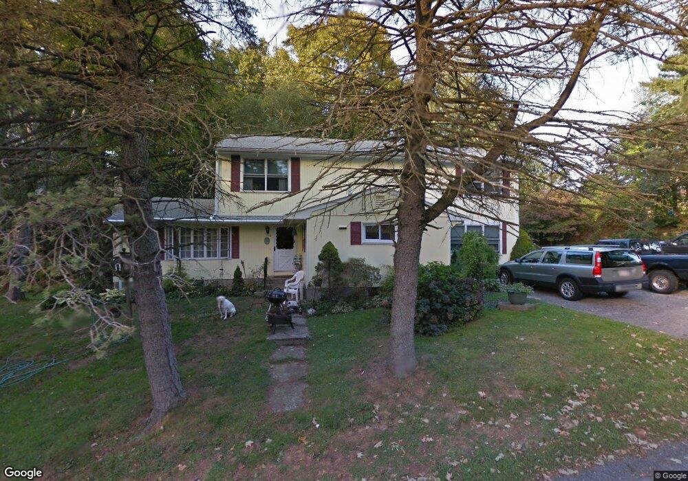
13 Dionne St Westport, MA 02790
North Westport NeighborhoodEstimated Value: $542,000 - $657,000
4
Beds
--
Bath
2,972
Sq Ft
$198/Sq Ft
Est. Value
About This Home
This home is located at 13 Dionne St, Westport, MA 02790 and is currently estimated at $589,922, approximately $198 per square foot. 13 Dionne St is a home located in Bristol County with nearby schools including Alice A. Macomber Primary School, Westport Elementary School, and Westport Middle-High School.
Ownership History
Date
Name
Owned For
Owner Type
Purchase Details
Closed on
May 15, 1991
Sold by
Chouinard Odilon J and Chouinard Rita L
Bought by
Farias David W and Farias Denise J
Current Estimated Value
Create a Home Valuation Report for This Property
The Home Valuation Report is an in-depth analysis detailing your home's value as well as a comparison with similar homes in the area
Home Values in the Area
Average Home Value in this Area
Purchase History
| Date | Buyer | Sale Price | Title Company |
|---|---|---|---|
| Farias David W | $50,000 | -- |
Source: Public Records
Mortgage History
| Date | Status | Borrower | Loan Amount |
|---|---|---|---|
| Closed | Farias David W | $15,000 | |
| Open | Farias David W | $116,000 | |
| Closed | Farias David W | $12,000 | |
| Closed | Farias David W | $127,000 |
Source: Public Records
Tax History Compared to Growth
Tax History
| Year | Tax Paid | Tax Assessment Tax Assessment Total Assessment is a certain percentage of the fair market value that is determined by local assessors to be the total taxable value of land and additions on the property. | Land | Improvement |
|---|---|---|---|---|
| 2025 | $3,327 | $446,600 | $159,700 | $286,900 |
| 2024 | $3,312 | $428,400 | $147,900 | $280,500 |
| 2023 | $3,261 | $399,600 | $134,800 | $264,800 |
| 2022 | $3,027 | $357,000 | $122,500 | $234,500 |
| 2021 | $2,982 | $345,900 | $111,400 | $234,500 |
| 2020 | $2,878 | $341,400 | $106,900 | $234,500 |
| 2019 | $2,738 | $331,100 | $112,300 | $218,800 |
| 2018 | $2,480 | $303,600 | $84,000 | $219,600 |
| 2017 | $2,467 | $309,500 | $89,700 | $219,800 |
| 2016 | $2,221 | $280,800 | $85,100 | $195,700 |
| 2015 | $2,311 | $291,400 | $97,800 | $193,600 |
Source: Public Records
Map
Nearby Homes
- 33 William St
- 6 Beaulieu St
- 25 Beaulieu St
- 9 Register Ave
- 128 Old Bedford Rd
- 92 Benoit St
- 34 Alsop St
- 125 Angell St
- 3 Diane Way
- 100 D Dr
- 951 Dickinson St
- 4 Lake Ave
- 37 Eaton St
- 1792 Pleasant St Unit 1808
- 219 Earle St Unit 3
- 217 Earle St Unit 2
- 215 Earle St Unit 1
- 1130 Hancock St
- 172 Earle St
- 85 Reney St