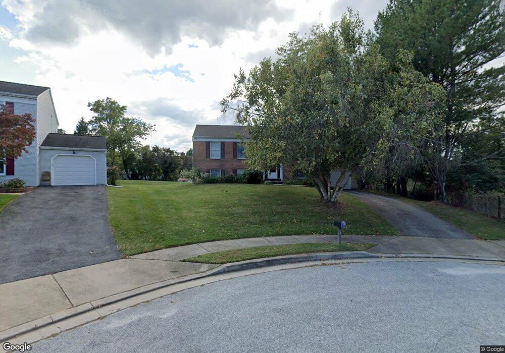
13 Dyson Dan Ct Reisterstown, MD 21136
Estimated Value: $387,997 - $556,000
--
Bed
2
Baths
1,320
Sq Ft
$350/Sq Ft
Est. Value
About This Home
This home is located at 13 Dyson Dan Ct, Reisterstown, MD 21136 and is currently estimated at $462,499, approximately $350 per square foot. 13 Dyson Dan Ct is a home located in Baltimore County with nearby schools including Glyndon Elementary School, Franklin Middle, and Franklin High.
Ownership History
Date
Name
Owned For
Owner Type
Purchase Details
Closed on
Oct 8, 2012
Sold by
Zaba Judy Levy and Zaba Ira Howard
Bought by
Zaba Judy Levy
Current Estimated Value
Home Financials for this Owner
Home Financials are based on the most recent Mortgage that was taken out on this home.
Original Mortgage
$212,000
Outstanding Balance
$147,218
Interest Rate
3.57%
Mortgage Type
New Conventional
Estimated Equity
$315,281
Purchase Details
Closed on
Jun 17, 1987
Sold by
Spring Building And
Bought by
Zaba Ira Howard
Create a Home Valuation Report for This Property
The Home Valuation Report is an in-depth analysis detailing your home's value as well as a comparison with similar homes in the area
Home Values in the Area
Average Home Value in this Area
Purchase History
| Date | Buyer | Sale Price | Title Company |
|---|---|---|---|
| Zaba Judy Levy | -- | None Available | |
| Zaba Ira Howard | $110,000 | -- |
Source: Public Records
Mortgage History
| Date | Status | Borrower | Loan Amount |
|---|---|---|---|
| Open | Zaba Judy Levy | $212,000 |
Source: Public Records
Tax History Compared to Growth
Tax History
| Year | Tax Paid | Tax Assessment Tax Assessment Total Assessment is a certain percentage of the fair market value that is determined by local assessors to be the total taxable value of land and additions on the property. | Land | Improvement |
|---|---|---|---|---|
| 2025 | $4,345 | $307,967 | -- | -- |
| 2024 | $4,345 | $278,200 | $102,700 | $175,500 |
| 2023 | $2,157 | $272,333 | $0 | $0 |
| 2022 | $4,192 | $266,467 | $0 | $0 |
| 2021 | $4,009 | $260,600 | $102,700 | $157,900 |
| 2020 | $4,009 | $259,667 | $0 | $0 |
| 2019 | $3,895 | $258,733 | $0 | $0 |
| 2018 | $3,836 | $257,800 | $102,700 | $155,100 |
| 2017 | $3,671 | $249,467 | $0 | $0 |
| 2016 | $3,259 | $241,133 | $0 | $0 |
| 2015 | $3,259 | $232,800 | $0 | $0 |
| 2014 | $3,259 | $232,800 | $0 | $0 |
Source: Public Records
Map
Nearby Homes
- 10 Greensborough Rd
- 12 Greensborough Rd
- 12406 Old Grey Mare Ct
- 12314 Bonfire Dr
- 341 Central Ave
- 648 Glynock Place
- 15 Gloucester Ct
- 1 Brampton Ct
- 7 Putman Ct
- 120 Lamport Rd
- 10 Simpson Ct
- 611 Brickston Rd
- 10944 Baskerville Rd
- 3 Meadow Mist Ct
- 13 Bellinger Ct
- 259 E Chatsworth Ave
- 49 Merino Ct
- 570 Kennington Rd
- 225 Highmeadow Rd
- 12 Timber Run Ct
- 11 Dyson Dan Ct
- 507 Central Ave Ct
- 505 Central Ave Ct
- 509 Central Ave Ct
- 606 Bond Ave
- 9 Dyson Dan Ct
- 608 Bond Ave
- 14 Dyson Dan Ct
- 12 Dyson Dan Ct
- 610 Bond Ave
- 605 Saint Paul Ave
- 7 Dyson Dan Ct
- 607 Saint Paul Ave
- 10 Dyson Dan Ct
- 609 Saint Paul Ave
- 612 Bond Ave
- 5 Dyson Dan Ct
- 611 Saint Paul Ave
- 605 Bond Ave
- 607 Bond Ave