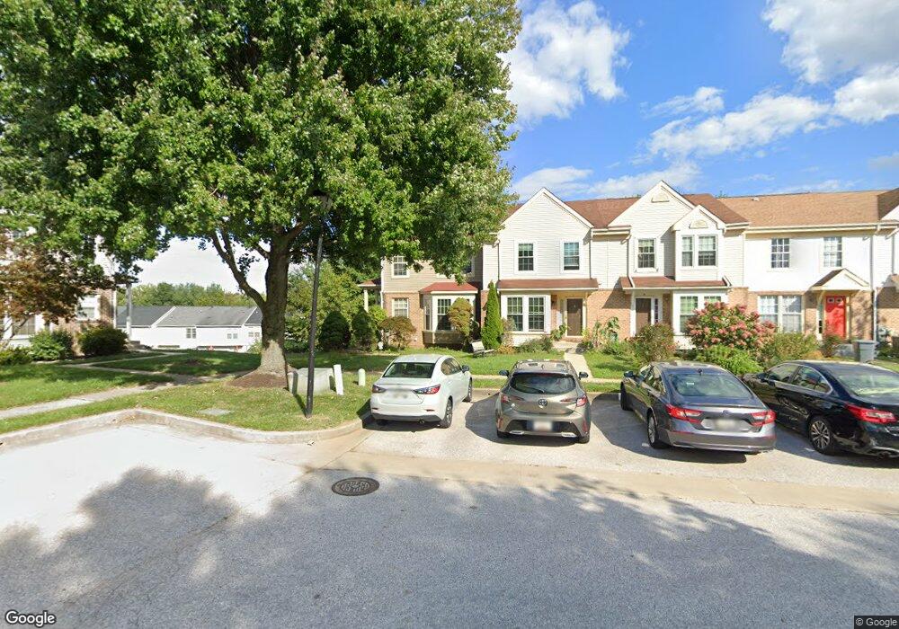
13 Empire Ct Reisterstown, MD 21136
Estimated Value: $348,000 - $365,000
--
Bed
3
Baths
1,376
Sq Ft
$258/Sq Ft
Est. Value
About This Home
This home is located at 13 Empire Ct, Reisterstown, MD 21136 and is currently estimated at $354,925, approximately $257 per square foot. 13 Empire Ct is a home located in Baltimore County with nearby schools including Reisterstown Elementary, Franklin Middle, and Franklin High.
Ownership History
Date
Name
Owned For
Owner Type
Purchase Details
Closed on
Jan 12, 2017
Sold by
Goldschmidt Barry S and Goldschmidt Eileen M
Bought by
Goldschmidt Barry S and Goldschmidt Eileen M
Current Estimated Value
Home Financials for this Owner
Home Financials are based on the most recent Mortgage that was taken out on this home.
Original Mortgage
$125,900
Outstanding Balance
$104,211
Interest Rate
4.19%
Estimated Equity
$250,714
Purchase Details
Closed on
Oct 17, 2002
Sold by
Stern Michael F
Bought by
Goldschmidt Barry S and Goldschmidt Eileen D
Purchase Details
Closed on
May 24, 1995
Sold by
Wilcox Tod L
Bought by
Stern Michael F
Purchase Details
Closed on
Aug 28, 1992
Sold by
Macintosh-I Limi Ted Partnership
Bought by
Wilcox Tod L
Create a Home Valuation Report for This Property
The Home Valuation Report is an in-depth analysis detailing your home's value as well as a comparison with similar homes in the area
Home Values in the Area
Average Home Value in this Area
Purchase History
| Date | Buyer | Sale Price | Title Company |
|---|---|---|---|
| Goldschmidt Barry S | -- | Certified Title Corporation | |
| Goldschmidt Barry S | $153,500 | -- | |
| Stern Michael F | $124,900 | -- | |
| Wilcox Tod L | $124,300 | -- |
Source: Public Records
Mortgage History
| Date | Status | Borrower | Loan Amount |
|---|---|---|---|
| Open | Stern Michael F | $125,900 | |
| Closed | Goldschmidt Barry S | $125,900 |
Source: Public Records
Tax History Compared to Growth
Tax History
| Year | Tax Paid | Tax Assessment Tax Assessment Total Assessment is a certain percentage of the fair market value that is determined by local assessors to be the total taxable value of land and additions on the property. | Land | Improvement |
|---|---|---|---|---|
| 2025 | $4,384 | $261,367 | -- | -- |
| 2024 | $4,384 | $242,500 | $61,400 | $181,100 |
| 2023 | $1,813 | $232,833 | $0 | $0 |
| 2022 | $3,369 | $223,167 | $0 | $0 |
| 2021 | $3,364 | $213,500 | $61,400 | $152,100 |
| 2020 | $3,364 | $212,600 | $0 | $0 |
| 2019 | $3,296 | $211,700 | $0 | $0 |
| 2018 | $3,207 | $210,800 | $61,400 | $149,400 |
| 2017 | $3,115 | $206,067 | $0 | $0 |
| 2016 | $2,528 | $201,333 | $0 | $0 |
| 2015 | $2,528 | $196,600 | $0 | $0 |
| 2014 | $2,528 | $196,600 | $0 | $0 |
Source: Public Records
Map
Nearby Homes
- 611 Brickston Rd
- 1 Brampton Ct
- 7 Putman Ct
- 10944 Baskerville Rd
- 10 Simpson Ct
- 570 Kennington Rd
- 13 Bellinger Ct
- 12314 Bonfire Dr
- 49 Merino Ct
- 648 Glynock Place
- 215 Greenview Ave
- 208 Parkholme Cir
- 10 Wensley Dale Ct
- 12 Greensborough Rd
- 10 Greensborough Rd
- 4 Romney Ct
- 225 Highmeadow Rd
- 203 Cork Ln Unit T4
- 105 Fitz Ct Unit 202
- 101 Fitz Ct Unit 202