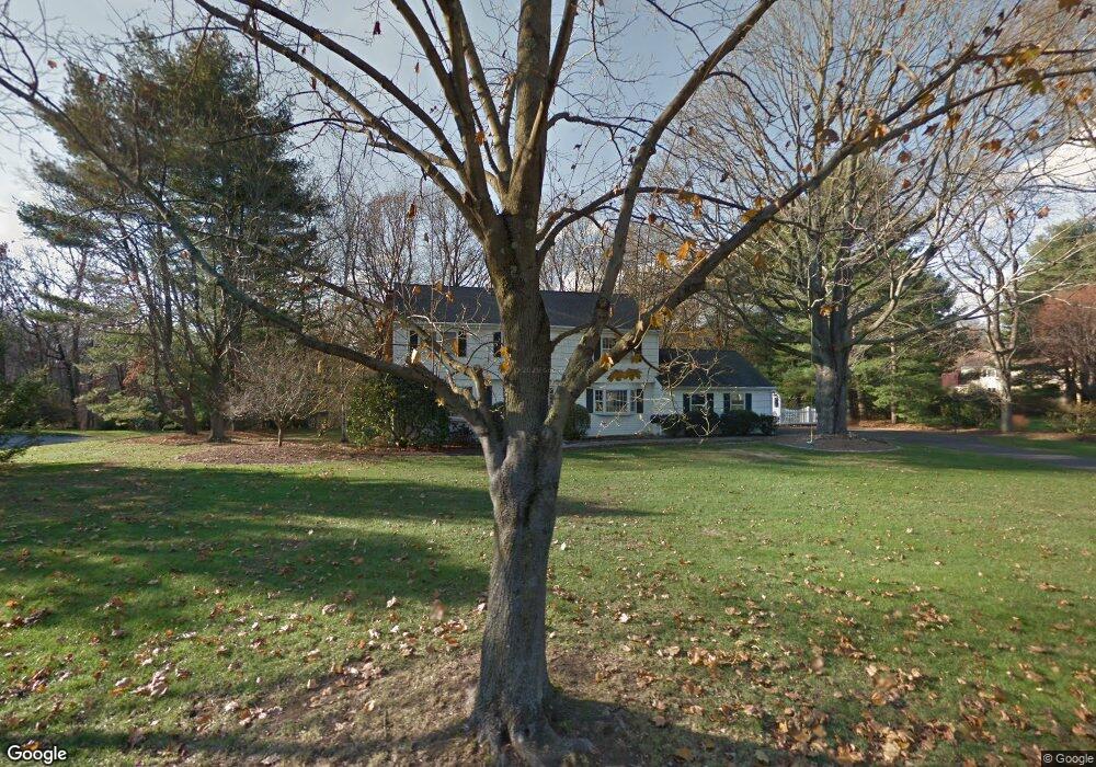
13 Eno Ln Westport, CT 06880
Saugatuck NeighborhoodEstimated Value: $1,646,000 - $2,212,000
4
Beds
3
Baths
2,736
Sq Ft
$693/Sq Ft
Est. Value
About This Home
This home is located at 13 Eno Ln, Westport, CT 06880 and is currently estimated at $1,894,766, approximately $692 per square foot. 13 Eno Ln is a home located in Fairfield County with nearby schools including King's Highway Elementary School, Coleytown Middle School, and Staples High School.
Ownership History
Date
Name
Owned For
Owner Type
Purchase Details
Closed on
Feb 23, 1998
Sold by
Dinga Stephen and Dinga Elizabeth
Bought by
Solder John and Solder Hilary
Current Estimated Value
Home Financials for this Owner
Home Financials are based on the most recent Mortgage that was taken out on this home.
Original Mortgage
$440,000
Interest Rate
6.9%
Mortgage Type
Unknown
Purchase Details
Closed on
Aug 1, 1997
Sold by
Warwick John and Warwick Mary Ellen
Bought by
Dings Stephen and Dings Elizabeth
Create a Home Valuation Report for This Property
The Home Valuation Report is an in-depth analysis detailing your home's value as well as a comparison with similar homes in the area
Home Values in the Area
Average Home Value in this Area
Purchase History
| Date | Buyer | Sale Price | Title Company |
|---|---|---|---|
| Solder John | $580,000 | -- | |
| Solder John | $580,000 | -- | |
| Dings Stephen | $565,000 | -- | |
| Dings Stephen | $565,000 | -- |
Source: Public Records
Mortgage History
| Date | Status | Borrower | Loan Amount |
|---|---|---|---|
| Open | Dings Stephen | $360,124 | |
| Closed | Dings Stephen | $417,750 | |
| Closed | Dings Stephen | $440,000 |
Source: Public Records
Tax History Compared to Growth
Tax History
| Year | Tax Paid | Tax Assessment Tax Assessment Total Assessment is a certain percentage of the fair market value that is determined by local assessors to be the total taxable value of land and additions on the property. | Land | Improvement |
|---|---|---|---|---|
| 2025 | $12,978 | $688,100 | $384,400 | $303,700 |
| 2024 | $12,812 | $688,100 | $384,400 | $303,700 |
| 2023 | $12,627 | $688,100 | $384,400 | $303,700 |
| 2022 | $12,434 | $688,100 | $384,400 | $303,700 |
| 2021 | $12,434 | $688,100 | $384,400 | $303,700 |
| 2020 | $11,471 | $736,000 | $405,000 | $331,000 |
| 2019 | $12,409 | $736,000 | $405,000 | $331,000 |
| 2018 | $92 | $731,700 | $405,000 | $326,700 |
| 2017 | $11,311 | $731,700 | $405,000 | $326,700 |
| 2016 | $12,336 | $731,700 | $405,000 | $326,700 |
| 2015 | $12,185 | $673,600 | $336,800 | $336,800 |
| 2014 | $12,084 | $673,600 | $336,800 | $336,800 |
Source: Public Records
Map
Nearby Homes
- 6 Stony Point Rd
- 110 William St
- 44 King St
- 11 Manitou Ct
- 202 Bradley Ln Unit 202
- 17 Oriole Dr
- 14 Strathmore Ln
- 26 Treadwell Ave
- 25 Dairy Farm Rd
- 7 Renzulli Rd
- 3 Nassau Rd
- 5 Minard Dr
- 80 County St Unit 9K
- 80 County St Unit 3A
- 80 County St Unit 2Q
- 80 County St Unit 11K
- 14 Dairy Farm Rd
- 18 Roxbury Rd
- 77 Walter Ave
- 162 Strawberry Hill Ave