13 Farm Meadow Rd Newtown, CT 06470
Estimated Value: $1,090,217 - $1,623,000
4
Beds
6
Baths
3,508
Sq Ft
$384/Sq Ft
Est. Value
About This Home
This home is located at 13 Farm Meadow Rd, Newtown, CT 06470 and is currently estimated at $1,348,304, approximately $384 per square foot. 13 Farm Meadow Rd is a home located in Fairfield County with nearby schools including Head O'Meadow Elementary School, Reed Intermediate School, and Newtown Middle School.
Ownership History
Date
Name
Owned For
Owner Type
Purchase Details
Closed on
Aug 25, 1998
Sold by
Barre Jerry J and Barre Marion J
Bought by
Bloomqusit Craig R and Bloomquist Virginia W
Current Estimated Value
Home Financials for this Owner
Home Financials are based on the most recent Mortgage that was taken out on this home.
Original Mortgage
$225,000
Interest Rate
6.86%
Mortgage Type
Unknown
Purchase Details
Closed on
Apr 27, 1995
Sold by
Aragi Susan
Bought by
Aragi Ent Inc
Create a Home Valuation Report for This Property
The Home Valuation Report is an in-depth analysis detailing your home's value as well as a comparison with similar homes in the area
Home Values in the Area
Average Home Value in this Area
Purchase History
| Date | Buyer | Sale Price | Title Company |
|---|---|---|---|
| Bloomqusit Craig R | $570,000 | -- | |
| Bloomqusit Craig R | $570,000 | -- | |
| Aragi Ent Inc | $75,000 | -- |
Source: Public Records
Mortgage History
| Date | Status | Borrower | Loan Amount |
|---|---|---|---|
| Closed | Aragi Ent Inc | $225,000 | |
| Previous Owner | Aragi Ent Inc | $203,000 |
Source: Public Records
Tax History Compared to Growth
Tax History
| Year | Tax Paid | Tax Assessment Tax Assessment Total Assessment is a certain percentage of the fair market value that is determined by local assessors to be the total taxable value of land and additions on the property. | Land | Improvement |
|---|---|---|---|---|
| 2025 | $16,483 | $573,530 | $222,170 | $351,360 |
| 2024 | $15,468 | $573,530 | $222,170 | $351,360 |
| 2023 | $15,049 | $573,530 | $222,170 | $351,360 |
| 2022 | $14,341 | $413,650 | $159,220 | $254,430 |
| 2021 | $14,333 | $413,650 | $159,220 | $254,430 |
| 2020 | $14,378 | $413,650 | $159,220 | $254,430 |
| 2019 | $14,383 | $413,650 | $159,220 | $254,430 |
| 2018 | $14,163 | $413,650 | $159,220 | $254,430 |
| 2017 | $15,857 | $468,180 | $185,410 | $282,770 |
| 2016 | $15,731 | $468,180 | $185,410 | $282,770 |
| 2015 | $16,559 | $500,730 | $185,410 | $315,320 |
| 2014 | $16,679 | $500,730 | $185,410 | $315,320 |
Source: Public Records
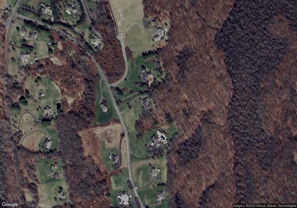
Map
Nearby Homes
- 4 Wentworth Dr
- 4 Vona Way
- 9A Oak Ridge Dr
- lot22 Vona Way
- 6 Vona Way
- 5 Vona Way
- 9 Vona Way
- 31 Oak Ridge Dr
- lot5B Nicolina Way
- 9 Nicolina Way
- 18 Sebastian Tr
- 30 Hi Barlow Rd
- 52 Aunt Park Ln
- 35 Poverty Hollow Rd
- 1 Hi Barlow Rd
- 31 Poverty Hollow Rd
- 26 100 Acres Rd
- 22 Serene Way
- 7 Jet Brook Rd
- 19 Castle Meadow Rd
- 11 Farm Meadow Rd
- 8 Farm Meadow Rd
- 12 Farm Meadow Rd
- 17 Farm Meadow Rd
- 4 Storm Ridge Rd
- 6 Wentworth Dr
- 19 Farm Meadow Rd
- 14 Farm Meadow Rd
- 119 Poverty Hollow Rd
- 121 Poverty Hollow Rd
- 7 Wentworth Dr
- 16 Farm Meadow Rd
- 105 Poverty Hollow Rd
- 123 Poverty Hollow Rd
- 115 Poverty Hollow Rd
- 21 Farm Meadow Rd
- 103 Poverty Hollow Rd
- 125 Poverty Hollow Rd
- 99 Poverty Hollow Rd
- 147 Poverty Hollow Rd