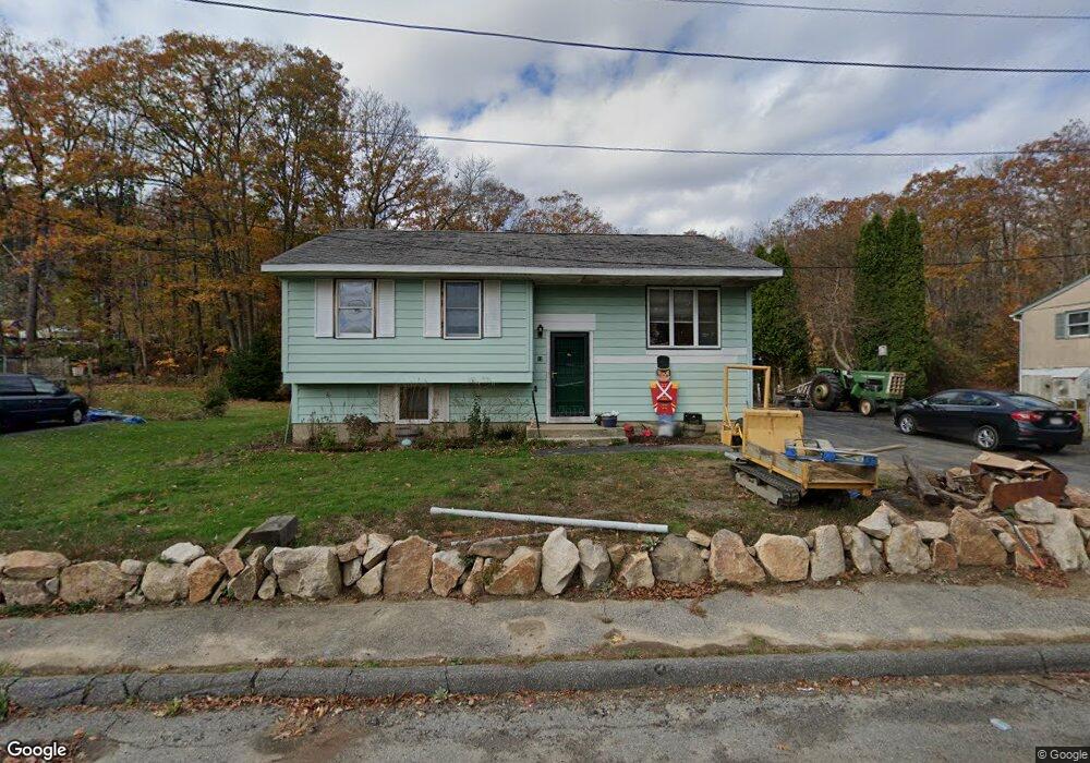
13 Fenley Rd Gloucester, MA 01930
West Gloucester NeighborhoodEstimated Value: $617,000 - $741,000
3
Beds
2
Baths
1,000
Sq Ft
$674/Sq Ft
Est. Value
About This Home
This home is located at 13 Fenley Rd, Gloucester, MA 01930 and is currently estimated at $673,541, approximately $673 per square foot. 13 Fenley Rd is a home located in Essex County with nearby schools including West Parish, Ralph B O'maley Middle School, and Gloucester High School.
Ownership History
Date
Name
Owned For
Owner Type
Purchase Details
Closed on
Feb 17, 2017
Sold by
Murray Judith L
Bought by
Kennedy Zachery S
Current Estimated Value
Home Financials for this Owner
Home Financials are based on the most recent Mortgage that was taken out on this home.
Original Mortgage
$205,000
Outstanding Balance
$169,732
Interest Rate
4.2%
Mortgage Type
New Conventional
Estimated Equity
$503,809
Purchase Details
Closed on
Jul 1, 1971
Bought by
Murray Alan F and Murray Judith L
Create a Home Valuation Report for This Property
The Home Valuation Report is an in-depth analysis detailing your home's value as well as a comparison with similar homes in the area
Home Values in the Area
Average Home Value in this Area
Purchase History
| Date | Buyer | Sale Price | Title Company |
|---|---|---|---|
| Kennedy Zachery S | $155,000 | -- | |
| Murray Alan F | -- | -- |
Source: Public Records
Mortgage History
| Date | Status | Borrower | Loan Amount |
|---|---|---|---|
| Open | Kennedy Zachery S | $205,000 | |
| Previous Owner | Murray Alan F | $20,000 | |
| Previous Owner | Murray Alan F | $100,000 |
Source: Public Records
Tax History
| Year | Tax Paid | Tax Assessment Tax Assessment Total Assessment is a certain percentage of the fair market value that is determined by local assessors to be the total taxable value of land and additions on the property. | Land | Improvement |
|---|---|---|---|---|
| 2025 | $5,221 | $537,100 | $185,000 | $352,100 |
| 2024 | $5,488 | $564,000 | $176,100 | $387,900 |
| 2023 | $5,183 | $489,400 | $157,300 | $332,100 |
| 2022 | $4,610 | $393,000 | $136,800 | $256,200 |
| 2021 | $4,518 | $363,200 | $124,300 | $238,900 |
| 2020 | $4,232 | $343,200 | $124,300 | $218,900 |
| 2019 | $4,213 | $332,000 | $124,300 | $207,700 |
| 2018 | $3,342 | $258,500 | $93,300 | $165,200 |
| 2017 | $3,610 | $273,700 | $118,400 | $155,300 |
| 2016 | $3,585 | $263,400 | $123,600 | $139,800 |
| 2015 | $3,553 | $260,300 | $123,600 | $136,700 |
Source: Public Records
Map
Nearby Homes
- 7 Leaman Dr
- 167 Atlantic St
- 368 Essex Ave
- 178 Atlantic St
- 5 Samoset Rd Unit B
- 13 Honeysuckle Rd
- 587 Essex Ave
- 226 Atlantic St
- 5 Lepage Ln
- 24 Cobblestone Ln Unit 603
- 145 Essex Ave Unit 402
- 2 Breezy Point Rd
- 3 Deacon Farm Ln
- 31 Echo Ave
- 6 Monroe Ct
- 672 Washington St
- 15 Harvard St
- 5 Marshfield St
- 8 Mystic Ave
- 24 Lufkin St
Your Personal Tour Guide
Ask me questions while you tour the home.