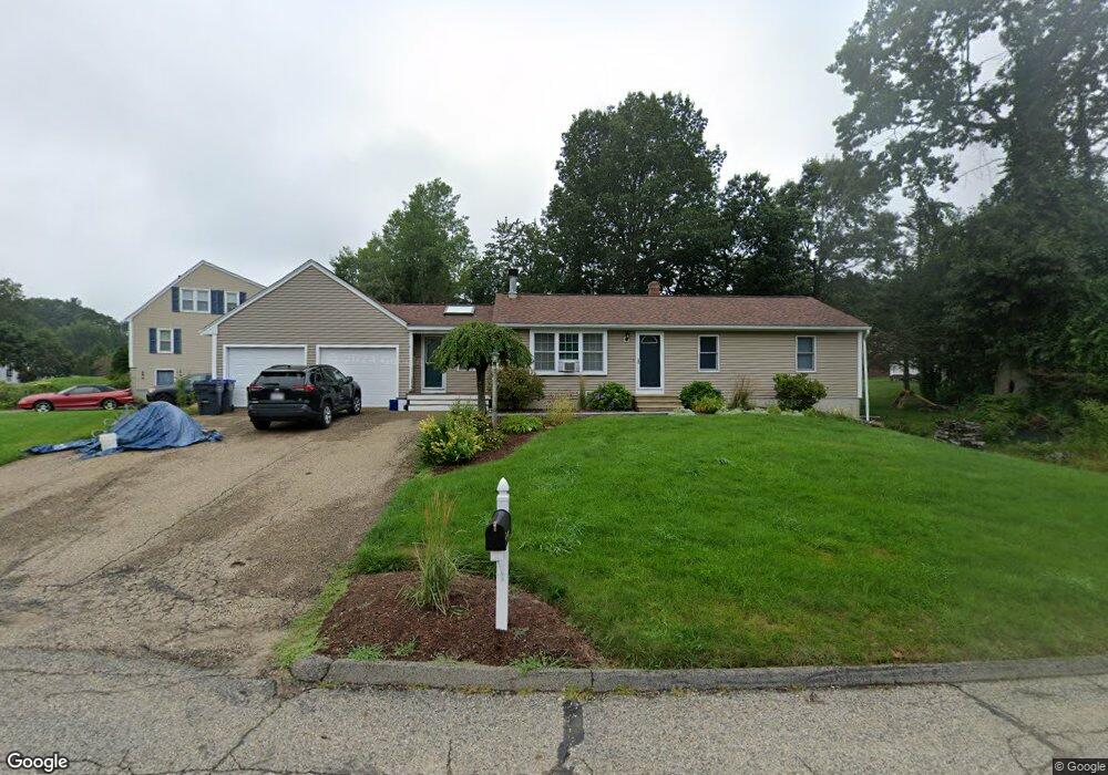
13 Fernwood Dr Rutland, MA 01543
Estimated Value: $476,000 - $510,000
3
Beds
2
Baths
1,566
Sq Ft
$320/Sq Ft
Est. Value
About This Home
This home is located at 13 Fernwood Dr, Rutland, MA 01543 and is currently estimated at $500,453, approximately $319 per square foot. 13 Fernwood Dr is a home located in Worcester County with nearby schools including Wachusett Regional High School.
Ownership History
Date
Name
Owned For
Owner Type
Purchase Details
Closed on
Oct 30, 1990
Sold by
C B Blair Bldrs Inc
Bought by
Oliva Thomas A
Current Estimated Value
Purchase Details
Closed on
Apr 18, 1989
Sold by
Donell Conrad J
Bought by
Obrien Robert J
Create a Home Valuation Report for This Property
The Home Valuation Report is an in-depth analysis detailing your home's value as well as a comparison with similar homes in the area
Home Values in the Area
Average Home Value in this Area
Purchase History
| Date | Buyer | Sale Price | Title Company |
|---|---|---|---|
| Oliva Thomas A | $130,400 | -- | |
| Obrien Robert J | $156,300 | -- |
Source: Public Records
Mortgage History
| Date | Status | Borrower | Loan Amount |
|---|---|---|---|
| Open | Obrien Robert J | $178,000 | |
| Closed | Obrien Robert J | $174,400 |
Source: Public Records
Tax History Compared to Growth
Tax History
| Year | Tax Paid | Tax Assessment Tax Assessment Total Assessment is a certain percentage of the fair market value that is determined by local assessors to be the total taxable value of land and additions on the property. | Land | Improvement |
|---|---|---|---|---|
| 2025 | $6,048 | $424,700 | $95,000 | $329,700 |
| 2024 | $6,055 | $408,300 | $85,300 | $323,000 |
| 2023 | $5,563 | $405,500 | $80,400 | $325,100 |
| 2022 | $5,394 | $341,600 | $68,100 | $273,500 |
| 2021 | $5,042 | $301,900 | $68,100 | $233,800 |
| 2020 | $5,054 | $287,000 | $64,100 | $222,900 |
| 2019 | $4,902 | $274,000 | $58,700 | $215,300 |
| 2018 | $4,389 | $242,100 | $58,700 | $183,400 |
| 2017 | $4,296 | $234,500 | $58,700 | $175,800 |
| 2016 | $3,913 | $225,300 | $58,800 | $166,500 |
| 2015 | $3,636 | $206,000 | $58,800 | $147,200 |
| 2014 | $3,525 | $206,000 | $58,800 | $147,200 |
Source: Public Records
Map
Nearby Homes
- 10 Beechwood Dr
- 21 Highland Park Rd
- 7 Prescott St
- 85 Maple Ave Unit A
- 27 Lewis St
- 11 Lewis St
- 21 Lewis St
- 12 Lewis St
- 6 Lewis St
- 2 Forest Hill Dr
- 176 Maple Ave Unit 1-38
- 176 Maple Ave Unit 3-25
- 176 Maple Ave Unit 2-26
- 132 Fidelity Dr Unit 61
- 28 Forest Hill Dr
- 10 Fidelity Dr Unit 5
- 189 Maple Ave
- 2226 Main St
- 32 Pommogussett Rd Unit 1
- 25 Watson Ln