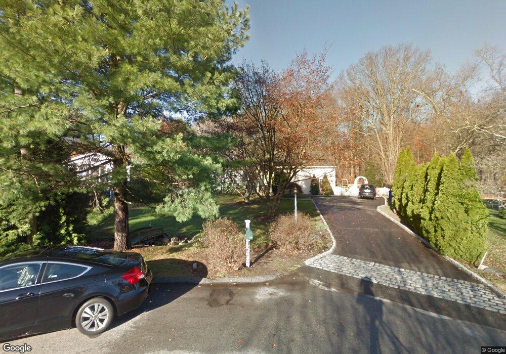
13 Flintlock Rd Norwalk, CT 06850
West Norwalk NeighborhoodEstimated Value: $734,333 - $839,000
3
Beds
3
Baths
1,938
Sq Ft
$406/Sq Ft
Est. Value
About This Home
This home is located at 13 Flintlock Rd, Norwalk, CT 06850 and is currently estimated at $786,083, approximately $405 per square foot. 13 Flintlock Rd is a home located in Fairfield County with nearby schools including Fox Run Elementary School, Ponus Ridge Middle School, and Brien Mcmahon High School.
Ownership History
Date
Name
Owned For
Owner Type
Purchase Details
Closed on
Aug 14, 2002
Sold by
Oricoli Stephen A and Oricoli Michele M
Bought by
Dunn Brian S
Current Estimated Value
Home Financials for this Owner
Home Financials are based on the most recent Mortgage that was taken out on this home.
Original Mortgage
$300,000
Interest Rate
6.61%
Purchase Details
Closed on
Jun 13, 1997
Sold by
State Street B&T Tr
Bought by
Oricoli Stephen A and Oricoli Michele M
Create a Home Valuation Report for This Property
The Home Valuation Report is an in-depth analysis detailing your home's value as well as a comparison with similar homes in the area
Home Values in the Area
Average Home Value in this Area
Purchase History
| Date | Buyer | Sale Price | Title Company |
|---|---|---|---|
| Dunn Brian S | $438,000 | -- | |
| Dunn Brian S | $438,000 | -- | |
| Oricoli Stephen A | $210,000 | -- | |
| Oricoli Stephen A | $210,000 | -- |
Source: Public Records
Mortgage History
| Date | Status | Borrower | Loan Amount |
|---|---|---|---|
| Open | Oricoli Stephen A | $296,376 | |
| Closed | Oricoli Stephen A | $300,000 |
Source: Public Records
Tax History
| Year | Tax Paid | Tax Assessment Tax Assessment Total Assessment is a certain percentage of the fair market value that is determined by local assessors to be the total taxable value of land and additions on the property. | Land | Improvement |
|---|---|---|---|---|
| 2025 | $10,102 | $421,880 | $194,630 | $227,250 |
| 2024 | $9,953 | $421,880 | $194,630 | $227,250 |
| 2023 | $8,580 | $340,990 | $178,410 | $162,580 |
| 2022 | $8,420 | $340,990 | $178,410 | $162,580 |
| 2021 | $8,201 | $340,990 | $178,410 | $162,580 |
| 2020 | $8,196 | $340,990 | $178,410 | $162,580 |
| 2019 | $7,967 | $340,990 | $178,410 | $162,580 |
| 2018 | $8,828 | $331,110 | $208,660 | $122,450 |
| 2017 | $8,525 | $331,110 | $208,660 | $122,450 |
| 2016 | $8,443 | $331,110 | $208,660 | $122,450 |
| 2015 | $8,420 | $331,110 | $208,660 | $122,450 |
| 2014 | $8,311 | $331,110 | $208,660 | $122,450 |
Source: Public Records
Map
Nearby Homes
- 12 Dellwood Rd
- 97 Richards Ave Unit B10
- 115 Keeler Ave
- 7 Tommys Ln
- 29 Richmond Dr
- 9 Point o Woods Rd S
- 7 Buttonwood Ln
- 267 Brookside Rd
- 15 Marianne Rd
- 20 Marianne Rd
- 304 Brookside Rd
- 201 W Norwalk Rd
- 13 Wakeman Rd
- 10 Ledgebrook Dr Unit 1
- 49 Salisbury Rd
- 19 Ledgebrook Dr Unit 2
- 11 Ledgebrook Dr Unit 11
- 192 Gillies Ln
- 171 Raymond St
- 217 Mansfield Ave
- 11 Flintlock Rd
- 15 Flintlock Rd
- 9 Flintlock Rd
- 9 Flintock Rd
- 7 Flintlock Rd
- 12 Flintlock Rd
- 86 Maywood Rd
- 10 Flintlock Rd
- 8 Flintlock Rd
- 80 Maywood Rd
- 5 Flintlock Rd
- 6 Flintlock Rd
- 90 Maywood Rd
- 137 W Norwalk Rd
- 137B W Norwalk Rd
- 4 Flintlock Rd
- 3 Flintlock Rd
- 127 W Norwalk Rd
- 6 Powder Horn Rd
- 4 Powder Horn Rd
Your Personal Tour Guide
Ask me questions while you tour the home.