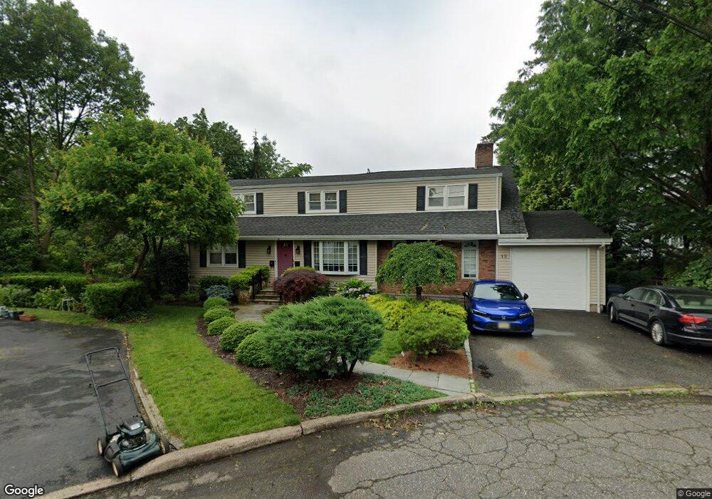
13 Ford Ct Unit 2 Bergenfield, NJ 07621
Estimated Value: $755,000 - $784,807
2
Beds
1
Bath
2,039
Sq Ft
$377/Sq Ft
Est. Value
About This Home
This home is located at 13 Ford Ct Unit 2, Bergenfield, NJ 07621 and is currently estimated at $769,702, approximately $377 per square foot. 13 Ford Ct Unit 2 is a home located in Bergen County with nearby schools including Bergenfield High School and Academy of Our Lady of Mount Carmel.
Ownership History
Date
Name
Owned For
Owner Type
Purchase Details
Closed on
Mar 15, 2017
Sold by
Royston Craig G and Royston Deborah A
Bought by
Mistry Adam
Current Estimated Value
Home Financials for this Owner
Home Financials are based on the most recent Mortgage that was taken out on this home.
Original Mortgage
$500,762
Outstanding Balance
$415,259
Interest Rate
4.17%
Mortgage Type
FHA
Estimated Equity
$354,443
Create a Home Valuation Report for This Property
The Home Valuation Report is an in-depth analysis detailing your home's value as well as a comparison with similar homes in the area
Home Values in the Area
Average Home Value in this Area
Purchase History
| Date | Buyer | Sale Price | Title Company |
|---|---|---|---|
| Mistry Adam | $510,000 | Westcor Land Title |
Source: Public Records
Mortgage History
| Date | Status | Borrower | Loan Amount |
|---|---|---|---|
| Open | Mistry Adam | $500,762 |
Source: Public Records
Tax History Compared to Growth
Tax History
| Year | Tax Paid | Tax Assessment Tax Assessment Total Assessment is a certain percentage of the fair market value that is determined by local assessors to be the total taxable value of land and additions on the property. | Land | Improvement |
|---|---|---|---|---|
| 2025 | $13,254 | $375,800 | $183,200 | $192,600 |
| 2024 | $12,631 | $375,800 | $183,200 | $192,600 |
| 2023 | $12,434 | $370,400 | $183,200 | $187,200 |
| 2022 | $12,434 | $370,400 | $183,200 | $187,200 |
| 2021 | $12,305 | $370,400 | $183,200 | $187,200 |
| 2020 | $12,223 | $370,400 | $183,200 | $187,200 |
| 2019 | $12,082 | $370,400 | $183,200 | $187,200 |
| 2018 | $11,994 | $370,400 | $183,200 | $187,200 |
| 2017 | $11,934 | $370,400 | $183,200 | $187,200 |
| 2016 | $11,745 | $370,400 | $183,200 | $187,200 |
| 2015 | $11,564 | $370,400 | $183,200 | $187,200 |
| 2014 | $11,353 | $370,400 | $183,200 | $187,200 |
Source: Public Records
Map
Nearby Homes
- 64 Madison Ave
- 16 Palisade Ave
- 241 E Main St Unit 1D
- 241 E Main St Unit 1H
- 248 E Clinton Ave
- 92 N Taylor St
- 44 Bogert Place
- 148 Hillside Ave
- 305 E Main St
- 309 E Clinton Ave
- 11 Clyde Ct
- 76 W Main St
- 25 Ralph St
- 202 Pleasant Ave
- 18 Carlisle St
- 14 Magnolia St
- 302 W Clinton Ave
- 15 Westside Ave
- 280 Hickory Ave
- 24 S Lyle Ave
- 13 Ford Ct
- 55 S Woodside Ave
- 7 Ford Ct
- 67 S Woodside Ave
- 57 S Woodside Ave
- 59 S Woodside Ave
- 51 S Woodside Ave
- 5 Ford Ct
- 6 Ford Ct
- 129 Bergen Ave
- 125 Bergen Ave
- 133 Bergen Ave
- 47 S Woodside Ave
- 71 S Woodside Ave
- 3 Ford Ct
- 20 Ford Ct
- 137 Bergen Ave
- 75 S Woodside Ave
- 43 S Woodside Ave
- 64 S Woodside Ave