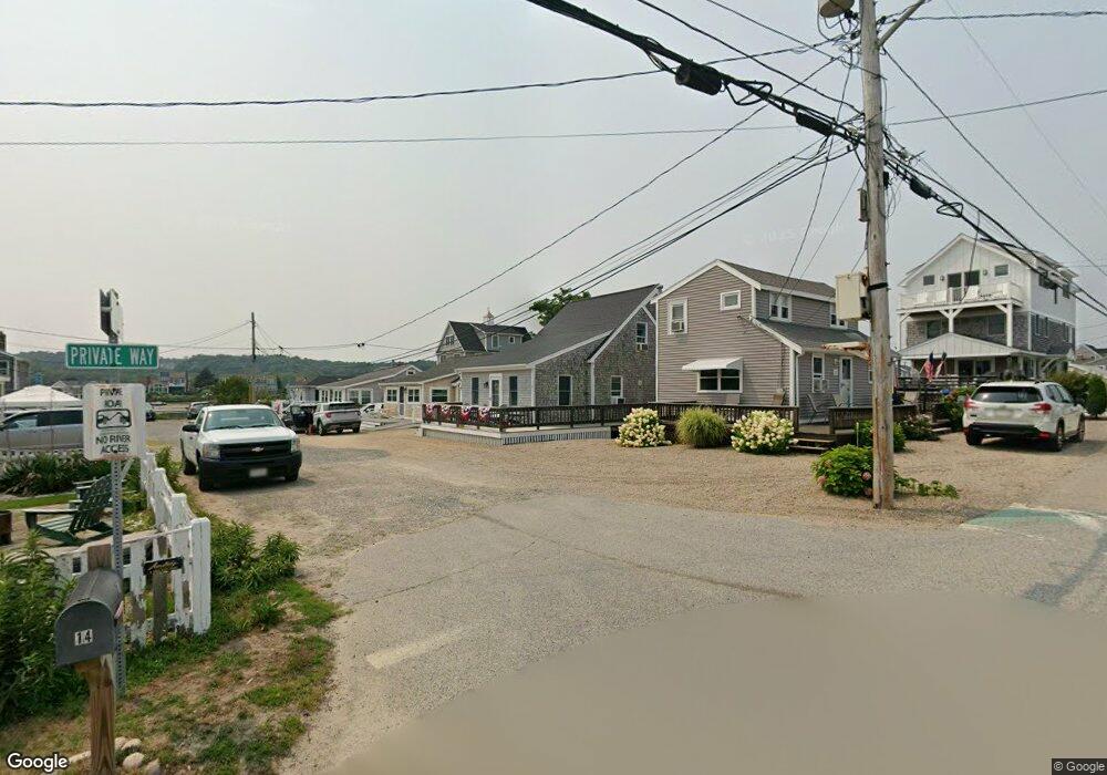
13 Franklin St Scituate, MA 02066
Humarock NeighborhoodEstimated Value: $606,000 - $822,000
2
Beds
1
Bath
970
Sq Ft
$767/Sq Ft
Est. Value
About This Home
This home is located at 13 Franklin St, Scituate, MA 02066 and is currently estimated at $743,562, approximately $766 per square foot. 13 Franklin St is a home.
Ownership History
Date
Name
Owned For
Owner Type
Purchase Details
Closed on
Sep 26, 2019
Sold by
Donnelly Paula A
Bought by
Webster Jennifer M and Webster Barbara A
Current Estimated Value
Home Financials for this Owner
Home Financials are based on the most recent Mortgage that was taken out on this home.
Original Mortgage
$325,000
Outstanding Balance
$285,296
Interest Rate
3.6%
Mortgage Type
New Conventional
Estimated Equity
$458,266
Purchase Details
Closed on
Sep 16, 2019
Sold by
13 Franklin Street Rt
Bought by
Donnelly Paula A
Home Financials for this Owner
Home Financials are based on the most recent Mortgage that was taken out on this home.
Original Mortgage
$325,000
Outstanding Balance
$285,296
Interest Rate
3.6%
Mortgage Type
New Conventional
Estimated Equity
$458,266
Purchase Details
Closed on
Mar 17, 2005
Sold by
Donnelly Brian F and Donnelly Paula A
Bought by
13 Franklin St Rt
Purchase Details
Closed on
Nov 19, 1996
Sold by
Kronick John G and Kronick Ann C
Bought by
Donnelly Brian F and Donnelly Paula A
Home Financials for this Owner
Home Financials are based on the most recent Mortgage that was taken out on this home.
Original Mortgage
$91,600
Interest Rate
7.99%
Mortgage Type
Purchase Money Mortgage
Create a Home Valuation Report for This Property
The Home Valuation Report is an in-depth analysis detailing your home's value as well as a comparison with similar homes in the area
Home Values in the Area
Average Home Value in this Area
Purchase History
| Date | Buyer | Sale Price | Title Company |
|---|---|---|---|
| Webster Jennifer M | $425,000 | -- | |
| Donnelly Paula A | -- | -- | |
| 13 Franklin St Rt | -- | -- | |
| Donnelly Brian F | $78,500 | -- |
Source: Public Records
Mortgage History
| Date | Status | Borrower | Loan Amount |
|---|---|---|---|
| Open | Webster Jennifer M | $325,000 | |
| Previous Owner | Donnelly Brian F | $91,600 | |
| Previous Owner | Donnelly Brian F | $14,000 |
Source: Public Records
Tax History Compared to Growth
Tax History
| Year | Tax Paid | Tax Assessment Tax Assessment Total Assessment is a certain percentage of the fair market value that is determined by local assessors to be the total taxable value of land and additions on the property. | Land | Improvement |
|---|---|---|---|---|
| 2025 | $6,981 | $698,800 | $509,800 | $189,000 |
| 2024 | $6,373 | $615,200 | $429,100 | $186,100 |
| 2023 | $5,702 | $555,500 | $390,100 | $165,400 |
| 2022 | $5,702 | $451,800 | $313,100 | $138,700 |
| 2021 | $5,525 | $414,500 | $298,200 | $116,300 |
| 2020 | $5,813 | $430,600 | $298,100 | $132,500 |
| 2019 | $5,758 | $419,100 | $292,300 | $126,800 |
| 2018 | $5,036 | $361,000 | $242,500 | $118,500 |
| 2017 | $4,950 | $351,300 | $232,800 | $118,500 |
| 2016 | $4,830 | $341,600 | $223,100 | $118,500 |
| 2015 | $4,348 | $331,900 | $213,400 | $118,500 |
Source: Public Records
Map
Nearby Homes
