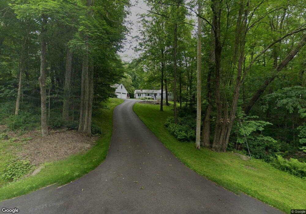
13 Freeman Rd Oxford, CT 06478
Estimated Value: $452,000 - $520,000
3
Beds
2
Baths
1,420
Sq Ft
$336/Sq Ft
Est. Value
About This Home
This home is located at 13 Freeman Rd, Oxford, CT 06478 and is currently estimated at $476,625, approximately $335 per square foot. 13 Freeman Rd is a home located in New Haven County with nearby schools including Quaker Farms School, Oxford Middle School, and Oxford High School.
Ownership History
Date
Name
Owned For
Owner Type
Purchase Details
Closed on
Jul 1, 1993
Sold by
Fichera Leonarda
Bought by
Mastrioani Richard
Current Estimated Value
Home Financials for this Owner
Home Financials are based on the most recent Mortgage that was taken out on this home.
Original Mortgage
$121,000
Interest Rate
7.46%
Mortgage Type
Unknown
Create a Home Valuation Report for This Property
The Home Valuation Report is an in-depth analysis detailing your home's value as well as a comparison with similar homes in the area
Home Values in the Area
Average Home Value in this Area
Purchase History
| Date | Buyer | Sale Price | Title Company |
|---|---|---|---|
| Mastrioani Richard | $140,000 | -- | |
| Mastrioani Richard | $140,000 | -- |
Source: Public Records
Mortgage History
| Date | Status | Borrower | Loan Amount |
|---|---|---|---|
| Closed | Mastrioani Richard | $186,656 | |
| Closed | Mastrioani Richard | $240,000 | |
| Closed | Mastrioani Richard | $106,173 | |
| Closed | Mastrioani Richard | $121,000 |
Source: Public Records
Tax History
| Year | Tax Paid | Tax Assessment Tax Assessment Total Assessment is a certain percentage of the fair market value that is determined by local assessors to be the total taxable value of land and additions on the property. | Land | Improvement |
|---|---|---|---|---|
| 2025 | $4,821 | $240,940 | $70,350 | $170,590 |
| 2024 | $4,605 | $178,400 | $75,400 | $103,000 |
| 2023 | $4,373 | $178,400 | $75,400 | $103,000 |
| 2022 | $4,346 | $178,400 | $75,400 | $103,000 |
| 2021 | $4,103 | $178,400 | $75,400 | $103,000 |
| 2020 | $4,162 | $174,600 | $75,400 | $99,200 |
| 2019 | $4,162 | $174,600 | $75,400 | $99,200 |
| 2018 | $4,025 | $174,600 | $75,400 | $99,200 |
| 2017 | $3,878 | $174,600 | $75,400 | $99,200 |
| 2016 | $4,227 | $174,600 | $75,400 | $99,200 |
| 2015 | $4,201 | $168,300 | $75,400 | $92,900 |
| 2014 | $4,186 | $168,300 | $75,400 | $92,900 |
Source: Public Records
Map
Nearby Homes
- 19 Good Hill Rd
- 159 Freeman Rd
- 44 Old Country Rd
- 185 Quaker Farms Rd
- 134 Shelton Rd
- 81 Oneil Rd
- 56 Downs Rd
- 567 Roosevelt Dr
- 141 Maple Tree Hill Rd
- 124 Bagburn Rd
- 13 Jordan Hill Rd Unit Lot 4
- 8 Stone Bridge Trail
- 34 Bagburn Rd
- 238 Berkshire Rd
- 24 Scott Rd
- 181 Great Hill Rd
- 40 Osborne Hill Rd
- 76 Dorman Rd
- 15 Legacy Ln
- 24 Legacy Ln
- 154 Bowers Hill Rd
- 150 Bowers Hill Rd
- 35 Freeman Rd
- 160 Bowers Hill Rd
- 6 Freeman Rd
- 39 Freeman Rd
- 37 Freeman Rd
- 4 Freeman Rd
- 8 Coppermine Rd
- 41 Freeman Rd
- 165 Bowers Hill Rd
- 143 Bowers Hill Rd
- 10 Coppermine Rd
- 23 Loughlin Rd
- 45 Freeman Rd
- 134 Bowers Hill Rd
- 139 Bowers Hill Rd
- 14 Coppermine Rd
- 40 Freeman Rd
- 47 Freeman Rd
Your Personal Tour Guide
Ask me questions while you tour the home.