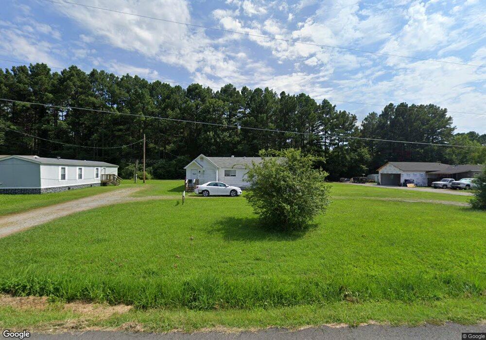
13 Gifford Ln Conway, AR 72032
Estimated Value: $156,000 - $233,000
--
Bed
1
Bath
1,224
Sq Ft
$146/Sq Ft
Est. Value
About This Home
This home is located at 13 Gifford Ln, Conway, AR 72032 and is currently estimated at $178,458, approximately $145 per square foot. 13 Gifford Ln is a home located in Faulkner County with nearby schools including Preston & Florence Mattison Elementary School, Bob Courtway Middle School, and Conway Junior High School.
Ownership History
Date
Name
Owned For
Owner Type
Purchase Details
Closed on
Oct 16, 2020
Sold by
Wilson Holdings Llc
Bought by
Carlin Miriam Louise
Current Estimated Value
Home Financials for this Owner
Home Financials are based on the most recent Mortgage that was taken out on this home.
Original Mortgage
$95,200
Outstanding Balance
$84,521
Interest Rate
2.8%
Mortgage Type
Commercial
Estimated Equity
$93,937
Purchase Details
Closed on
Mar 5, 2018
Sold by
Collins Holdings Llc
Bought by
Wilson Holdings Llc
Home Financials for this Owner
Home Financials are based on the most recent Mortgage that was taken out on this home.
Original Mortgage
$96,900
Interest Rate
4.22%
Mortgage Type
Future Advance Clause Open End Mortgage
Purchase Details
Closed on
Jul 26, 2006
Bought by
Collins Holdings
Purchase Details
Closed on
Jul 24, 2006
Bought by
Collins Holdings
Create a Home Valuation Report for This Property
The Home Valuation Report is an in-depth analysis detailing your home's value as well as a comparison with similar homes in the area
Home Values in the Area
Average Home Value in this Area
Purchase History
| Date | Buyer | Sale Price | Title Company |
|---|---|---|---|
| Carlin Miriam Louise | $119,000 | Faulkner County Title Co | |
| Wilson Holdings Llc | $114,000 | Liberty Title & Escrow | |
| Collins Holdings | -- | -- | |
| Collins Holdings | -- | -- |
Source: Public Records
Mortgage History
| Date | Status | Borrower | Loan Amount |
|---|---|---|---|
| Open | Carlin Miriam Louise | $95,200 | |
| Previous Owner | Wilson Holdings Llc | $96,900 |
Source: Public Records
Tax History Compared to Growth
Tax History
| Year | Tax Paid | Tax Assessment Tax Assessment Total Assessment is a certain percentage of the fair market value that is determined by local assessors to be the total taxable value of land and additions on the property. | Land | Improvement |
|---|---|---|---|---|
| 2024 | $728 | $21,370 | $3,000 | $18,370 |
| 2023 | $662 | $14,260 | $3,000 | $11,260 |
| 2022 | $712 | $14,260 | $3,000 | $11,260 |
| 2021 | $697 | $14,260 | $3,000 | $11,260 |
| 2020 | $641 | $13,050 | $2,760 | $10,290 |
| 2019 | $652 | $13,290 | $3,000 | $10,290 |
| 2018 | $652 | $13,290 | $3,000 | $10,290 |
| 2017 | $652 | $13,290 | $3,000 | $10,290 |
| 2016 | $652 | $13,290 | $3,000 | $10,290 |
| 2015 | $639 | $13,780 | $3,000 | $10,780 |
| 2014 | $674 | $13,780 | $3,000 | $10,780 |
Source: Public Records
Map
Nearby Homes
- 2415 E Oak St
- 2365 E Oak St
- 18 Hazelwood Rd
- 62 Addi Ln
- 24 Lots Hays Add
- TBD Grandview Heights
- 2130 Shade Tree Dr
- 520 Evening Dr
- The Laurel Oak Plan at Woodside Crossing
- The Sanibel Plan at Woodside Crossing
- The Live Oak II Plan at Woodside Crossing
- The Oak II Plan at Woodside Crossing
- The Cayman Plan at Woodside Crossing
- The Hatteras Plan at Woodside Crossing
- The Sewee Plan at Woodside Crossing
- The Kokomo Plan at Woodside Crossing
- The Beaufort Plan at Woodside Crossing
- The Abaco Plan at Woodside Crossing
- The Key Largo Plan at Woodside Crossing
- The Abaco II Plan at Woodside Crossing