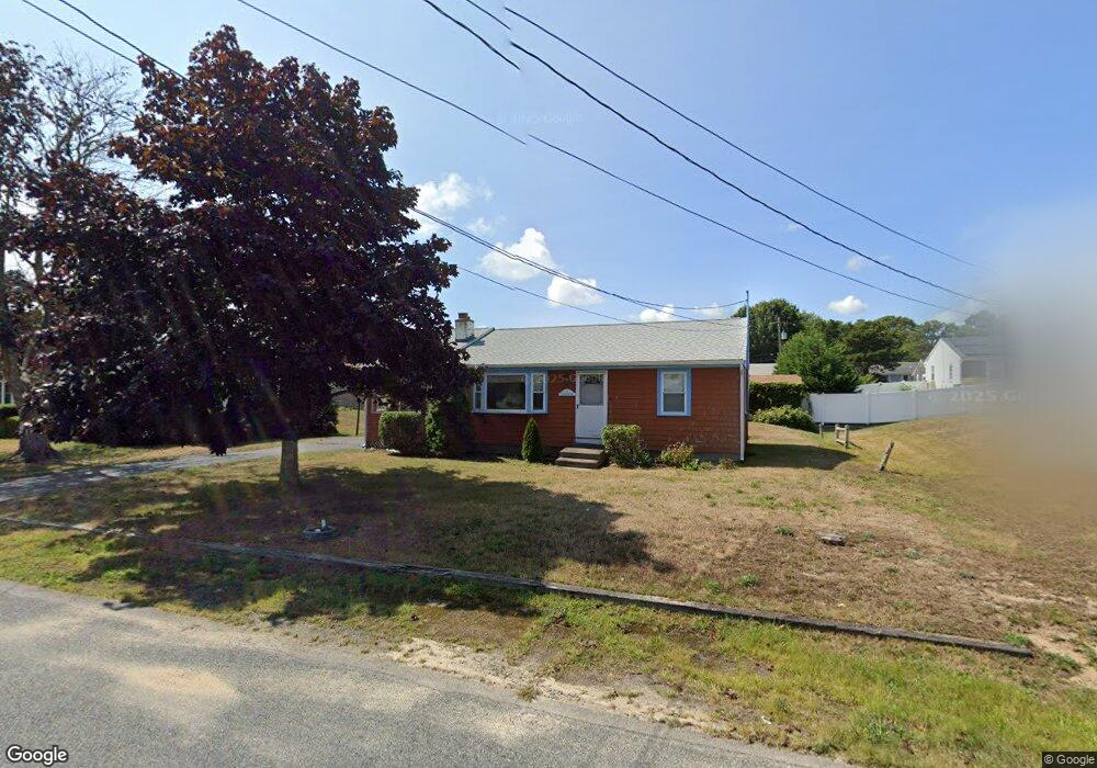
13 Harvard Rd Dennis Port, MA 02639
Dennis Port NeighborhoodEstimated Value: $573,000 - $734,000
3
Beds
1
Bath
992
Sq Ft
$639/Sq Ft
Est. Value
About This Home
This home is located at 13 Harvard Rd, Dennis Port, MA 02639 and is currently estimated at $634,033, approximately $639 per square foot. 13 Harvard Rd is a home located in Barnstable County with nearby schools including Dennis-Yarmouth Regional High School and St. Pius X. School.
Ownership History
Date
Name
Owned For
Owner Type
Purchase Details
Closed on
Jun 7, 2022
Sold by
Ferrera Robert N
Bought by
Ferrera Robert N and Ferrera Elaine E
Current Estimated Value
Purchase Details
Closed on
May 19, 2010
Sold by
Ferrera Ann E
Bought by
Ferrera Ft
Purchase Details
Closed on
Sep 27, 1996
Sold by
Cunningham John A and Cunningham Kathleen J
Bought by
Ferrera Ann E
Create a Home Valuation Report for This Property
The Home Valuation Report is an in-depth analysis detailing your home's value as well as a comparison with similar homes in the area
Home Values in the Area
Average Home Value in this Area
Purchase History
| Date | Buyer | Sale Price | Title Company |
|---|---|---|---|
| Ferrera Robert N | -- | None Available | |
| Ferrera Robert N | -- | None Available | |
| Ferrera Ft | -- | -- | |
| Ferrera Ann E | $63,000 | -- |
Source: Public Records
Tax History Compared to Growth
Tax History
| Year | Tax Paid | Tax Assessment Tax Assessment Total Assessment is a certain percentage of the fair market value that is determined by local assessors to be the total taxable value of land and additions on the property. | Land | Improvement |
|---|---|---|---|---|
| 2025 | $2,343 | $541,000 | $202,200 | $338,800 |
| 2024 | $2,187 | $498,200 | $194,500 | $303,700 |
| 2023 | $2,115 | $452,900 | $176,800 | $276,100 |
| 2022 | $2,036 | $363,600 | $159,300 | $204,300 |
| 2021 | $2,088 | $346,300 | $178,400 | $167,900 |
| 2020 | $1,881 | $308,400 | $156,100 | $152,300 |
| 2019 | $1,791 | $290,300 | $153,100 | $137,200 |
| 2018 | $1,714 | $270,400 | $145,700 | $124,700 |
| 2017 | $1,563 | $254,200 | $135,300 | $118,900 |
| 2016 | $1,599 | $244,900 | $145,700 | $99,200 |
| 2015 | $1,567 | $244,900 | $145,700 | $99,200 |
| 2014 | $1,423 | $224,100 | $124,900 | $99,200 |
Source: Public Records
Map
Nearby Homes