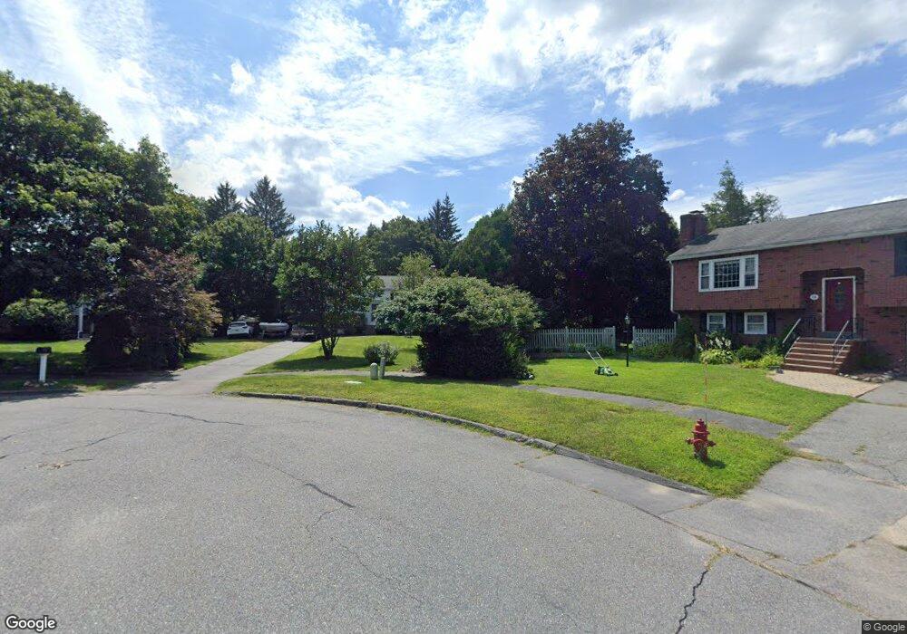
13 Hawthorne Cir Northborough, MA 01532
Estimated Value: $575,000 - $751,000
3
Beds
2
Baths
1,130
Sq Ft
$565/Sq Ft
Est. Value
About This Home
This home is located at 13 Hawthorne Cir, Northborough, MA 01532 and is currently estimated at $638,502, approximately $565 per square foot. 13 Hawthorne Cir is a home located in Worcester County with nearby schools including Fannie E. Proctor Elementary School, Robert E. Melican Middle School, and Algonquin Regional High School.
Ownership History
Date
Name
Owned For
Owner Type
Purchase Details
Closed on
Apr 4, 2025
Sold by
Upton David W and Upton Catherine M
Bought by
Upton Irt and Cavanna
Current Estimated Value
Purchase Details
Closed on
Apr 2, 1997
Sold by
Campbell Christine A and Newsome Margaret L
Bought by
Upton David W and Upton Catherine M
Purchase Details
Closed on
Mar 15, 1989
Sold by
Whittier Marsha L
Bought by
Campbell Christine
Create a Home Valuation Report for This Property
The Home Valuation Report is an in-depth analysis detailing your home's value as well as a comparison with similar homes in the area
Home Values in the Area
Average Home Value in this Area
Purchase History
| Date | Buyer | Sale Price | Title Company |
|---|---|---|---|
| Upton Irt | -- | None Available | |
| Upton David W | $175,000 | -- | |
| Campbell Christine | $175,000 | -- |
Source: Public Records
Mortgage History
| Date | Status | Borrower | Loan Amount |
|---|---|---|---|
| Previous Owner | Campbell Christine | $185,000 | |
| Previous Owner | Campbell Christine | $119,000 | |
| Previous Owner | Campbell Christine | $50,000 |
Source: Public Records
Tax History Compared to Growth
Tax History
| Year | Tax Paid | Tax Assessment Tax Assessment Total Assessment is a certain percentage of the fair market value that is determined by local assessors to be the total taxable value of land and additions on the property. | Land | Improvement |
|---|---|---|---|---|
| 2025 | $7,196 | $505,000 | $259,800 | $245,200 |
| 2024 | $6,473 | $453,300 | $215,400 | $237,900 |
| 2023 | $6,306 | $426,400 | $203,300 | $223,100 |
| 2022 | $6,164 | $373,800 | $193,600 | $180,200 |
| 2021 | $5,908 | $345,100 | $175,900 | $169,200 |
| 2020 | $5,953 | $345,100 | $175,900 | $169,200 |
| 2019 | $5,792 | $337,700 | $170,600 | $167,100 |
| 2018 | $5,554 | $319,400 | $166,700 | $152,700 |
| 2017 | $5,379 | $309,300 | $166,700 | $142,600 |
| 2016 | $5,089 | $296,400 | $163,300 | $133,100 |
| 2015 | $4,786 | $286,100 | $166,100 | $120,000 |
| 2014 | $4,627 | $278,900 | $166,100 | $112,800 |
Source: Public Records
Map
Nearby Homes
- 12 Saddle Hill Dr
- 1 Hamilton Rd
- 59 Indian Meadow Dr
- 349 Brigham St
- 223 South St
- 198 South St
- 139 Davis St
- 185-187 South St
- 11 Hillside Rd
- 22 Hitching Post Ln
- 19 Crestwood Dr Unit 19
- 71 Summer St
- 8 Stagecoach Cir Unit 8
- 59 School St Unit A-14
- 155 Milk St Unit 5
- 155 Milk St Unit 27
- 132 W Main St
- 196 -198 Turnpike Rd
- 9 Shaker Way
- 89 W Main St