13 High St Unit 15 Wharton, NJ 07885
Estimated Value: $465,000 - $578,000
--
Bed
--
Bath
1,848
Sq Ft
$288/Sq Ft
Est. Value
About This Home
This home is located at 13 High St Unit 15, Wharton, NJ 07885 and is currently estimated at $531,372, approximately $287 per square foot. 13 High St Unit 15 is a home located in Morris County with nearby schools including Marie V. Duffy Elementary School and A C Mac Kinnon Middle School.
Ownership History
Date
Name
Owned For
Owner Type
Purchase Details
Closed on
Nov 18, 1996
Sold by
Keyworth Jeanette
Bought by
Young David and Young Lizbeth
Current Estimated Value
Home Financials for this Owner
Home Financials are based on the most recent Mortgage that was taken out on this home.
Original Mortgage
$93,600
Outstanding Balance
$8,997
Interest Rate
7.81%
Estimated Equity
$522,375
Create a Home Valuation Report for This Property
The Home Valuation Report is an in-depth analysis detailing your home's value as well as a comparison with similar homes in the area
Home Values in the Area
Average Home Value in this Area
Purchase History
| Date | Buyer | Sale Price | Title Company |
|---|---|---|---|
| Young David | $117,000 | -- |
Source: Public Records
Mortgage History
| Date | Status | Borrower | Loan Amount |
|---|---|---|---|
| Open | Young David | $93,600 |
Source: Public Records
Tax History Compared to Growth
Tax History
| Year | Tax Paid | Tax Assessment Tax Assessment Total Assessment is a certain percentage of the fair market value that is determined by local assessors to be the total taxable value of land and additions on the property. | Land | Improvement |
|---|---|---|---|---|
| 2025 | $11,235 | $408,300 | $111,200 | $297,100 |
| 2024 | $10,554 | $379,700 | $106,500 | $273,200 |
| 2023 | $10,554 | $352,500 | $101,700 | $250,800 |
| 2022 | $9,708 | $333,100 | $101,700 | $231,400 |
| 2021 | $9,024 | $318,200 | $101,700 | $216,500 |
| 2020 | $9,420 | $303,000 | $97,000 | $206,000 |
| 2019 | $9,024 | $292,600 | $97,000 | $195,600 |
| 2018 | $8,425 | $278,800 | $92,200 | $186,600 |
| 2017 | $8,239 | $269,700 | $87,500 | $182,200 |
| 2016 | $7,678 | $269,700 | $87,500 | $182,200 |
| 2015 | $7,974 | $263,700 | $87,500 | $176,200 |
| 2014 | $7,973 | $260,800 | $87,500 | $173,300 |
Source: Public Records
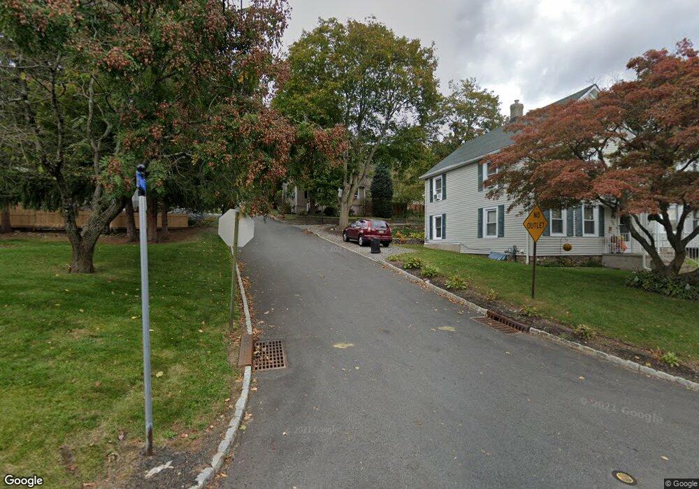
Map
Nearby Homes
- 19123 Westview Unit 19123
- 22145 Westview
- 399 N Main St
- 12 Sunset Dr
- 42 Fern Ave
- 52 W Union Turnpike
- 8 Baker Ave
- 322 P7 Richard Mine Rd Unit 7
- 14 Kelly Ln
- 322 Richard Mine Rd Unit 9
- 322 Richard Mine Rd Unit 4
- 1 Beirne Ln
- 10 Fernandez Ln
- 17 Anderson Rd
- 18 Wabash Ave
- 75 White St
- 37 Garden Ave
- 78 James St
- 8 N Elk Ave
- 417 W Black Well St Ab