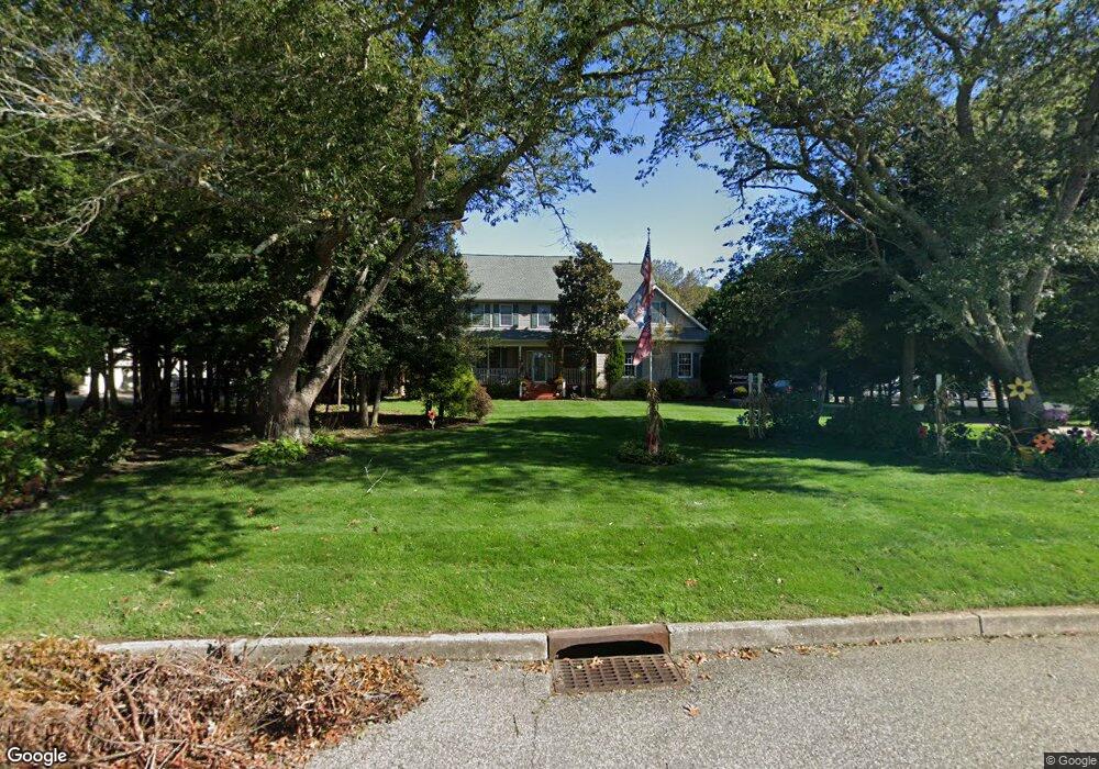
13 Homestead Rd Marmora, NJ 08223
Estimated Value: $694,324 - $831,000
--
Bed
--
Bath
3,154
Sq Ft
$239/Sq Ft
Est. Value
About This Home
This home is located at 13 Homestead Rd, Marmora, NJ 08223 and is currently estimated at $753,831, approximately $239 per square foot. 13 Homestead Rd is a home located in Cape May County with nearby schools including Upper Township Primary School, Upper Township Elementary School, and Upper Township Middle School.
Ownership History
Date
Name
Owned For
Owner Type
Purchase Details
Closed on
Feb 14, 2008
Sold by
Shallcross Thomas J
Bought by
Shallcross Marcia M
Current Estimated Value
Home Financials for this Owner
Home Financials are based on the most recent Mortgage that was taken out on this home.
Original Mortgage
$200,000
Outstanding Balance
$125,094
Interest Rate
5.9%
Mortgage Type
New Conventional
Estimated Equity
$628,737
Purchase Details
Closed on
Oct 3, 1997
Sold by
Ferris Marjorie
Bought by
Shaucross Thomas J
Home Financials for this Owner
Home Financials are based on the most recent Mortgage that was taken out on this home.
Original Mortgage
$52,000
Interest Rate
7.52%
Create a Home Valuation Report for This Property
The Home Valuation Report is an in-depth analysis detailing your home's value as well as a comparison with similar homes in the area
Home Values in the Area
Average Home Value in this Area
Purchase History
| Date | Buyer | Sale Price | Title Company |
|---|---|---|---|
| Shallcross Marcia M | -- | None Available | |
| Shaucross Thomas J | $65,000 | -- |
Source: Public Records
Mortgage History
| Date | Status | Borrower | Loan Amount |
|---|---|---|---|
| Open | Shallcross Marcia M | $200,000 | |
| Closed | Shaucross Thomas J | $52,000 |
Source: Public Records
Tax History Compared to Growth
Tax History
| Year | Tax Paid | Tax Assessment Tax Assessment Total Assessment is a certain percentage of the fair market value that is determined by local assessors to be the total taxable value of land and additions on the property. | Land | Improvement |
|---|---|---|---|---|
| 2025 | $9,499 | $413,900 | $176,600 | $237,300 |
| 2024 | $9,499 | $413,900 | $176,600 | $237,300 |
| 2023 | $9,031 | $413,900 | $176,600 | $237,300 |
| 2022 | $8,700 | $413,900 | $176,600 | $237,300 |
| 2021 | $6,210 | $413,900 | $176,600 | $237,300 |
| 2020 | $8,067 | $413,900 | $176,600 | $237,300 |
| 2019 | $7,852 | $413,900 | $176,600 | $237,300 |
| 2018 | $7,645 | $413,900 | $176,600 | $237,300 |
| 2017 | $7,550 | $413,900 | $176,600 | $237,300 |
| 2016 | $7,678 | $413,900 | $176,600 | $237,300 |
| 2015 | $7,471 | $413,900 | $176,600 | $237,300 |
| 2014 | $7,924 | $538,300 | $204,900 | $333,400 |
Source: Public Records
Map
Nearby Homes
- 202 N Shore Rd
- 16 Lenape Ln
- 125 N Shore Rd
- 32 Norwood Rd
- 14 Lyndhurst Rd
- 1 Roosevelt Blvd
- 601 2nd Ave
- 527 N 527 N Shore Rd
- 14 Roberts Ave
- 246 Egret Ln
- 430 S Shore Rd
- 214 Bartram Ln
- 15 Waterway Rd
- 13 Waterway Rd
- 3709 Waterview Blvd
- 3708 Westminster Ln
- 3103 Bayland Dr
- 100 Reef Dr Unit 94
- 100 Reef Dr
- 3604 Oxford Ln
- 11 Homestead Rd
- 15 Homestead Rd
- 40 Seaview Ave
- 46 Seaview Ave
- 9 Homestead Rd
- 36 Seaview Ave
- 17 Homestead Rd
- 34 Seaview Ave
- 12 Homestead Rd
- 14 Homestead Rd
- 18 Homestead Rd
- 41 Seaview Ave
- 41 Seaview Ave Unit Beesleys Point
- 110 Seaview Ave
- 37 Seaview Ave
- 49 Seaview Ave
- 33 Seaview Ave
- 10 Homestead Rd
- 7 Homestead Rd
- 100 1st Ave