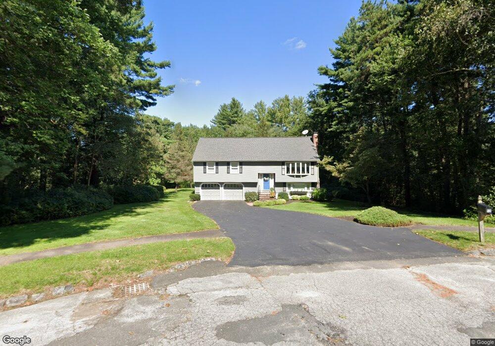
13 Ironwood Ln Millis, MA 02054
Estimated Value: $583,000 - $791,000
3
Beds
2
Baths
2,150
Sq Ft
$335/Sq Ft
Est. Value
About This Home
This home is located at 13 Ironwood Ln, Millis, MA 02054 and is currently estimated at $721,068, approximately $335 per square foot. 13 Ironwood Ln is a home located in Norfolk County with nearby schools including Clyde F Brown, Millis Middle School, and Millis High School.
Ownership History
Date
Name
Owned For
Owner Type
Purchase Details
Closed on
May 8, 2024
Sold by
Barber Stephen M and Barber Marilyn W
Bought by
Barber Ret and Barber
Current Estimated Value
Purchase Details
Closed on
May 19, 1980
Bought by
Barber Stephen M and Barber Marilyn W
Create a Home Valuation Report for This Property
The Home Valuation Report is an in-depth analysis detailing your home's value as well as a comparison with similar homes in the area
Home Values in the Area
Average Home Value in this Area
Purchase History
| Date | Buyer | Sale Price | Title Company |
|---|---|---|---|
| Barber Ret | -- | None Available | |
| Barber Ret | -- | None Available | |
| Barber Stephen M | $74,000 | -- |
Source: Public Records
Mortgage History
| Date | Status | Borrower | Loan Amount |
|---|---|---|---|
| Previous Owner | Barber Stephen M | $155,000 | |
| Previous Owner | Barber Stephen M | $80,000 |
Source: Public Records
Tax History Compared to Growth
Tax History
| Year | Tax Paid | Tax Assessment Tax Assessment Total Assessment is a certain percentage of the fair market value that is determined by local assessors to be the total taxable value of land and additions on the property. | Land | Improvement |
|---|---|---|---|---|
| 2025 | $10,073 | $614,200 | $191,900 | $422,300 |
| 2024 | $8,207 | $499,800 | $191,900 | $307,900 |
| 2023 | $8,073 | $461,600 | $166,800 | $294,800 |
| 2022 | $7,784 | $412,300 | $166,800 | $245,500 |
| 2021 | $7,748 | $394,900 | $166,800 | $228,100 |
| 2020 | $7,430 | $368,900 | $155,900 | $213,000 |
| 2019 | $6,738 | $360,300 | $147,300 | $213,000 |
| 2018 | $6,251 | $346,900 | $133,900 | $213,000 |
| 2017 | $6,359 | $345,200 | $147,600 | $197,600 |
| 2016 | $6,020 | $345,200 | $147,600 | $197,600 |
| 2015 | $5,755 | $338,500 | $147,600 | $190,900 |
Source: Public Records
Map
Nearby Homes
- 75 Bridge St
- 80 West St
- 8 Turtlebrook Way
- 46 Frairy St
- 34 Frairy St
- 14 Harding St
- 6 Rivendell Ln
- 435 Main St Unit B
- 21 Winter St
- 25 Bayberry Cir Unit 25
- 1380 Main St
- 00000 S Main St and Bullard St
- 27 Pollard Dr
- 28 Forest Rd
- 38 Bullard St
- 3 Shining Valley Cir
- 21 Philip St
- 22 May Rd
- 6 April Way
- 2 Greenwood Dr
- 17 Ironwood Ln
- 169 Dover Rd
- 153 Dover Rd Unit 155
- 153 Dover Rd
- 157 Dover Rd Unit 159
- 14 Ironwood Ln
- 15 Ironwood Ln
- 151 Dover Rd
- 149 Dover Rd
- 147 Dover Rd
- 143 Dover Rd
- 141 Dover Rd
- 141 Dover Rd Unit 2,1
- 141 Dover Rd Unit B
- 12 Ironwood Ln
- 11 Ironwood Ln
- 139 Dover Rd
- 9 Ironwood Ln
- 7 King Phillip Dr
- 8 Ironwood Ln