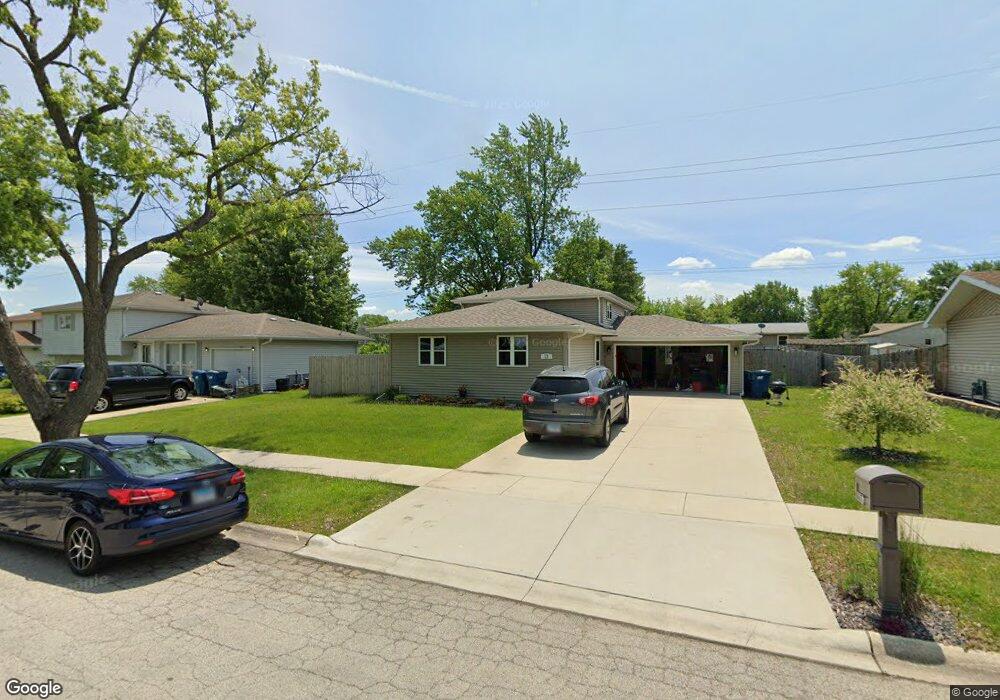
13 Karen Dr Bourbonnais, IL 60914
Estimated Value: $242,000 - $260,000
Studio
--
Bath
--
Sq Ft
9,888
Sq Ft Lot
About This Home
This home is located at 13 Karen Dr, Bourbonnais, IL 60914 and is currently estimated at $250,391. 13 Karen Dr is a home located in Kankakee County with nearby schools including Noel Levasseur Elementary School, Liberty Intermediate School, and Bourbonnais Upper Grade Center.
Ownership History
Date
Name
Owned For
Owner Type
Purchase Details
Closed on
Jun 2, 2021
Sold by
Brac Llc
Bought by
Smothers Brandon
Current Estimated Value
Home Financials for this Owner
Home Financials are based on the most recent Mortgage that was taken out on this home.
Original Mortgage
$211,105
Outstanding Balance
$188,118
Interest Rate
2.49%
Mortgage Type
FHA
Estimated Equity
$62,273
Purchase Details
Closed on
Aug 30, 2019
Sold by
Fattori Yolanda M
Bought by
Brac Llc
Home Financials for this Owner
Home Financials are based on the most recent Mortgage that was taken out on this home.
Original Mortgage
$105,000
Interest Rate
5.25%
Mortgage Type
New Conventional
Create a Home Valuation Report for This Property
The Home Valuation Report is an in-depth analysis detailing your home's value as well as a comparison with similar homes in the area
Home Values in the Area
Average Home Value in this Area
Purchase History
| Date | Buyer | Sale Price | Title Company |
|---|---|---|---|
| Smothers Brandon | $215,000 | Standard Title | |
| Brac Llc | $105,000 | Standard Title |
Source: Public Records
Mortgage History
| Date | Status | Borrower | Loan Amount |
|---|---|---|---|
| Open | Smothers Brandon | $211,105 | |
| Previous Owner | Brac Llc | $105,000 |
Source: Public Records
Tax History
| Year | Tax Paid | Tax Assessment Tax Assessment Total Assessment is a certain percentage of the fair market value that is determined by local assessors to be the total taxable value of land and additions on the property. | Land | Improvement |
|---|---|---|---|---|
| 2024 | $5,904 | $71,289 | $6,562 | $64,727 |
| 2023 | $5,430 | $66,008 | $6,076 | $59,932 |
| 2022 | $5,174 | $60,352 | $5,856 | $54,496 |
| 2021 | $4,957 | $57,472 | $5,727 | $51,745 |
| 2020 | $4,920 | $55,934 | $5,574 | $50,360 |
| 2019 | $3,672 | $52,305 | $5,412 | $46,893 |
| 2018 | $3,116 | $50,813 | $5,332 | $45,481 |
| 2017 | $3,911 | $49,574 | $5,202 | $44,372 |
| 2016 | $3,757 | $47,943 | $5,125 | $42,818 |
| 2015 | $3,840 | $48,333 | $5,074 | $43,259 |
| 2014 | $3,688 | $48,333 | $5,074 | $43,259 |
| 2013 | -- | $47,896 | $5,074 | $42,822 |
Source: Public Records
Map
Nearby Homes
- 16 Kim Dr
- 180 Karen Dr
- 22 Emery Dr
- 9 Hilltop Dr
- 172 Anita Dr
- 54 Bonds Dr
- 214 Greenbriar Ln
- 42 Hanson Dr
- 366 Centerpoint Dr S
- 1356 Eagle Bluff Dr
- 1565 Stefanie Ln
- 59 Hanson Dr
- 206 Meadows Rd S
- 1687 Jennifer Dr
- 1063 Yale Ave
- 530 Meadows Rd S
- 273 Harvard Ave
- 847 Tremont St
- Lot 5 Larry Power Rd
- 261 Mohawk Dr
Your Personal Tour Guide
Ask me questions while you tour the home.