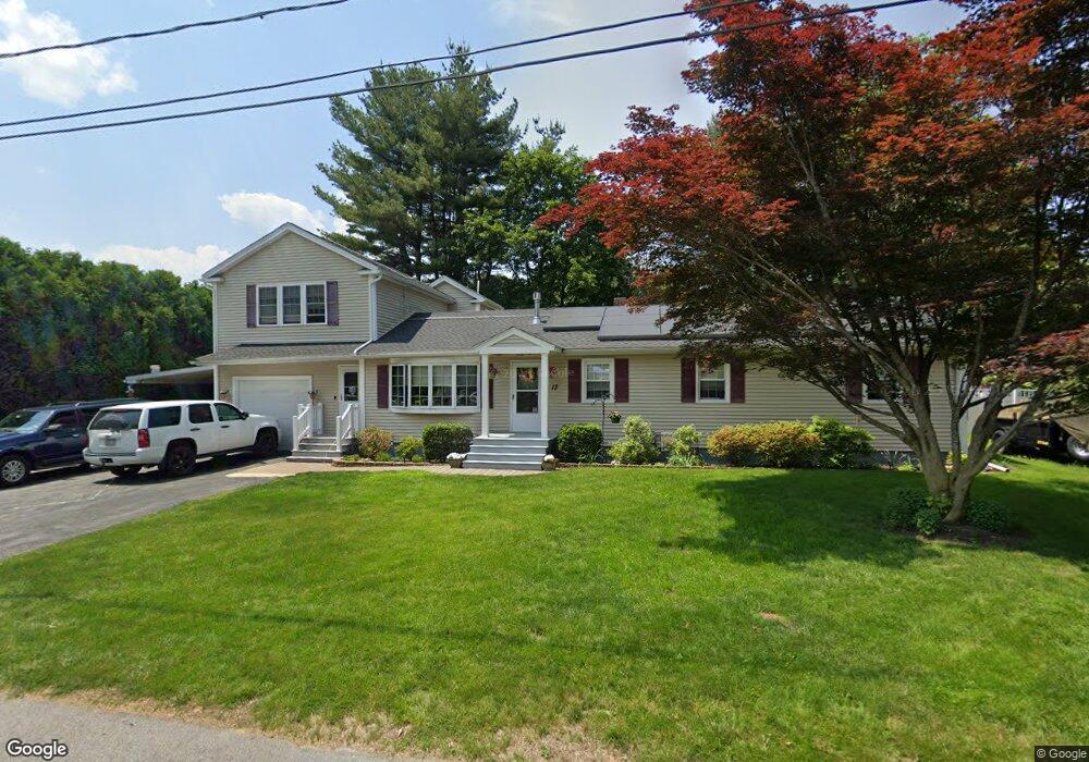
13 Katsikas Ave Dracut, MA 01826
Estimated Value: $535,000 - $665,000
3
Beds
1
Bath
1,296
Sq Ft
$469/Sq Ft
Est. Value
About This Home
This home is located at 13 Katsikas Ave, Dracut, MA 01826 and is currently estimated at $607,822, approximately $468 per square foot. 13 Katsikas Ave is a home located in Middlesex County with nearby schools including Brookside Elementary School, Richardson Middle School, and Dracut Senior High School.
Ownership History
Date
Name
Owned For
Owner Type
Purchase Details
Closed on
Sep 10, 2003
Sold by
13 Katsikas Avenue Rt
Bought by
Sanborn Carol F and Sanborn Gregg R
Current Estimated Value
Home Financials for this Owner
Home Financials are based on the most recent Mortgage that was taken out on this home.
Original Mortgage
$253,700
Outstanding Balance
$117,530
Interest Rate
6.22%
Mortgage Type
Purchase Money Mortgage
Estimated Equity
$490,292
Create a Home Valuation Report for This Property
The Home Valuation Report is an in-depth analysis detailing your home's value as well as a comparison with similar homes in the area
Home Values in the Area
Average Home Value in this Area
Purchase History
| Date | Buyer | Sale Price | Title Company |
|---|---|---|---|
| Sanborn Carol F | $281,900 | -- |
Source: Public Records
Mortgage History
| Date | Status | Borrower | Loan Amount |
|---|---|---|---|
| Open | Sanborn Carol F | $253,700 |
Source: Public Records
Tax History
| Year | Tax Paid | Tax Assessment Tax Assessment Total Assessment is a certain percentage of the fair market value that is determined by local assessors to be the total taxable value of land and additions on the property. | Land | Improvement |
|---|---|---|---|---|
| 2025 | $6,112 | $604,000 | $193,700 | $410,300 |
| 2024 | $6,099 | $583,600 | $184,400 | $399,200 |
| 2023 | $5,839 | $504,200 | $160,400 | $343,800 |
| 2022 | $5,814 | $473,100 | $145,700 | $327,400 |
| 2021 | $5,429 | $431,800 | $132,500 | $299,300 |
| 2020 | $5,365 | $401,900 | $128,700 | $273,200 |
| 2019 | $5,365 | $390,200 | $122,500 | $267,700 |
| 2018 | $4,760 | $347,600 | $122,500 | $225,100 |
| 2017 | $4,702 | $347,600 | $122,500 | $225,100 |
| 2016 | $4,485 | $302,200 | $117,800 | $184,400 |
| 2015 | $4,309 | $288,600 | $117,800 | $170,800 |
| 2014 | $3,985 | $275,000 | $117,800 | $157,200 |
Source: Public Records
Map
Nearby Homes
- 114 Fanning Ave
- 43 & 53 5th St
- 40 Charles St
- 1905 Lakeview Ave
- 21 Dallas Dr Unit 301
- 13 Dallas Dr Unit 305
- 13 Dallas Dr Unit 107
- 69 Springdale Ave
- 94 Nancy Ave
- 9 Cornstalk Ln
- 53 Vinal St
- 94 Tennis Plaza Rd Unit 10
- 74 Tennis Plaza Rd Unit 34
- 84 Tennis Plaza Rd Unit 1
- 83 Turgeon Ave
- 9 Arbor Dr
- 104 Long Pond Rd
- 6 Wilshire Ln Unit 6
- 4 Wilshire Ln Unit 4
- 4 Wilshire Ln
- 120 Passaconaway Dr
- 14 Hunting Ave
- 21 Katsikas Ave
- 14 Katsikas Ave
- 22 Hunting Ave
- 106 Passaconaway Dr
- 126 Passaconaway Dr
- 11 Barton Ave
- 15 Hunting Ave
- 27 Katsikas Ave
- 34 Hunting Ave
- 21 Barton Ave
- 5 Barton Ave
- 115 Passaconaway Dr
- 23 Hunting Ave
- 105 Passaconaway Dr
- 140 Passaconaway Dr
- 28 Katsikas Ave
- 31 Hunting Ave
- 31 Barton Ave
Your Personal Tour Guide
Ask me questions while you tour the home.