13 Kendall Ct Mendham, NJ 07945
Estimated Value: $1,880,000 - $2,002,000
Studio
--
Bath
5,925
Sq Ft
$327/Sq Ft
Est. Value
About This Home
This home is located at 13 Kendall Ct, Mendham, NJ 07945 and is currently estimated at $1,938,105, approximately $327 per square foot. 13 Kendall Ct is a home located in Morris County with nearby schools including Mendham Township Elementary School, Mendham Township Middle School, and West Morris Mendham High School.
Ownership History
Date
Name
Owned For
Owner Type
Purchase Details
Closed on
Apr 23, 2007
Sold by
Tolentino Eduardo D and Tolentino Deborah
Bought by
Matthews Douglas and Matthews Anna Maria
Current Estimated Value
Home Financials for this Owner
Home Financials are based on the most recent Mortgage that was taken out on this home.
Original Mortgage
$775,000
Outstanding Balance
$471,157
Interest Rate
6.25%
Mortgage Type
Purchase Money Mortgage
Estimated Equity
$1,466,948
Purchase Details
Closed on
Dec 4, 1995
Sold by
Tolentino Eduardo D
Bought by
Tolentino Eduardo D and Tolentino Deborah
Create a Home Valuation Report for This Property
The Home Valuation Report is an in-depth analysis detailing your home's value as well as a comparison with similar homes in the area
Home Values in the Area
Average Home Value in this Area
Purchase History
| Date | Buyer | Sale Price | Title Company |
|---|---|---|---|
| Matthews Douglas | $1,400,000 | Commonwealth | |
| Tolentino Eduardo D | -- | -- |
Source: Public Records
Mortgage History
| Date | Status | Borrower | Loan Amount |
|---|---|---|---|
| Open | Matthews Douglas | $775,000 |
Source: Public Records
Tax History
| Year | Tax Paid | Tax Assessment Tax Assessment Total Assessment is a certain percentage of the fair market value that is determined by local assessors to be the total taxable value of land and additions on the property. | Land | Improvement |
|---|---|---|---|---|
| 2025 | $33,762 | $1,850,800 | $506,500 | $1,344,300 |
| 2024 | $33,399 | $1,738,500 | $457,000 | $1,281,500 |
Source: Public Records
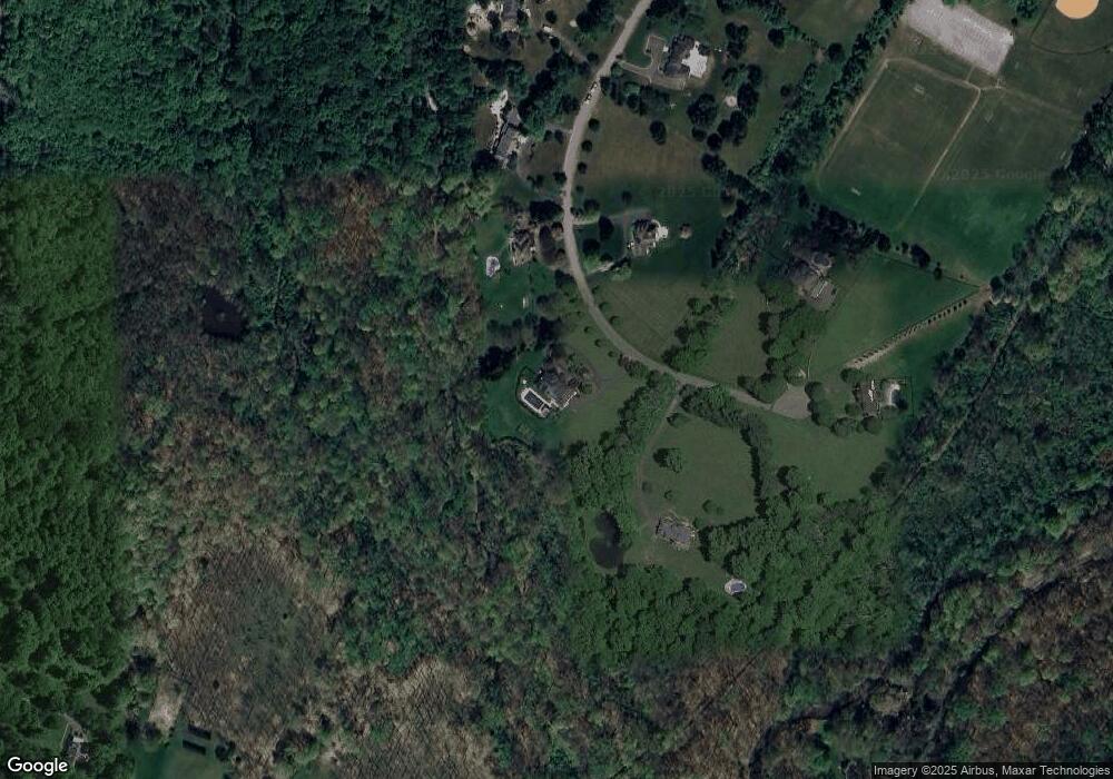
Map
Nearby Homes
- 559 State Route 24
- 75 Roxiticus Rd
- 3 Winston Farm Ln
- 10 Brookrace Dr
- 2 Wright Ln
- 4 Rainetree Ridge
- 6 Wright Ln
- 290 Mountainside Rd
- 1 Mountain View Dr
- 48 W Main St
- 3 Birch St
- 3 New St
- 239B Mountainside Rd
- 40 Mountain Ave
- 211 Mountainside Rd
- 119 Mosle Rd
- 6 Phoenix Dr
- 109 Mosle Rd
- 22 Talmage Rd
- 22 Cooper Ln
Your Personal Tour Guide
Ask me questions while you tour the home.