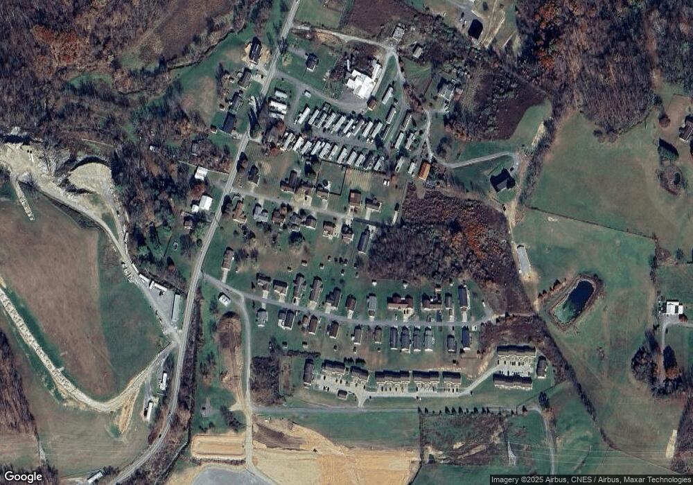
13 Kessla Way Shinnston, WV 26431
Estimated Value: $293,000 - $317,000
3
Beds
3
Baths
1,564
Sq Ft
$195/Sq Ft
Est. Value
About This Home
This home is located at 13 Kessla Way, Shinnston, WV 26431 and is currently estimated at $304,481, approximately $194 per square foot. 13 Kessla Way is a home located in Harrison County.
Ownership History
Date
Name
Owned For
Owner Type
Purchase Details
Closed on
Oct 18, 2022
Sold by
Thibodeau Vincent Joseph
Bought by
Demary Anthony Joseph
Current Estimated Value
Home Financials for this Owner
Home Financials are based on the most recent Mortgage that was taken out on this home.
Original Mortgage
$155,138
Outstanding Balance
$149,131
Interest Rate
5.89%
Mortgage Type
FHA
Estimated Equity
$155,350
Purchase Details
Closed on
Mar 5, 2013
Sold by
Lindsey Donald C and Lindsey Draga W
Bought by
Delrio Anthony Joseph
Home Financials for this Owner
Home Financials are based on the most recent Mortgage that was taken out on this home.
Original Mortgage
$17,700
Interest Rate
3.57%
Mortgage Type
New Conventional
Purchase Details
Closed on
Feb 23, 2006
Sold by
Lindsey Donald C and Lindsey Draca W
Bought by
Lindsey Donadl C and Lindsey Draca W
Create a Home Valuation Report for This Property
The Home Valuation Report is an in-depth analysis detailing your home's value as well as a comparison with similar homes in the area
Home Values in the Area
Average Home Value in this Area
Purchase History
| Date | Buyer | Sale Price | Title Company |
|---|---|---|---|
| Demary Anthony Joseph | $160,000 | -- | |
| Delrio Anthony Joseph | $177,000 | None Available | |
| Lindsey Donadl C | -- | None Available |
Source: Public Records
Mortgage History
| Date | Status | Borrower | Loan Amount |
|---|---|---|---|
| Open | Demary Anthony Joseph | $155,138 | |
| Previous Owner | Delrio Anthony Joseph | $17,700 | |
| Previous Owner | Delrio Anthony Joseph | $141,600 |
Source: Public Records
Tax History Compared to Growth
Tax History
| Year | Tax Paid | Tax Assessment Tax Assessment Total Assessment is a certain percentage of the fair market value that is determined by local assessors to be the total taxable value of land and additions on the property. | Land | Improvement |
|---|---|---|---|---|
| 2024 | $1,452 | $135,000 | $22,920 | $112,080 |
| 2023 | $1,548 | $111,180 | $22,920 | $88,260 |
| 2022 | $1,312 | $111,360 | $22,920 | $88,440 |
| 2021 | $1,295 | $111,180 | $22,920 | $88,260 |
| 2020 | $1,151 | $99,780 | $17,400 | $82,380 |
| 2019 | $1,157 | $100,320 | $17,400 | $82,920 |
| 2018 | $1,139 | $99,180 | $17,400 | $81,780 |
| 2017 | $1,126 | $98,520 | $17,400 | $81,120 |
| 2016 | $1,093 | $96,840 | $16,440 | $80,400 |
| 2015 | $1,065 | $93,780 | $15,420 | $78,360 |
| 2014 | $1,038 | $91,500 | $13,500 | $78,000 |
Source: Public Records
Map
Nearby Homes
- 6490 Benedum Dr
- 956 Middletown Rd
- 1328 County Route 1 4
- 222 Crimson Ln
- 1756 Corbin Branch Rd
- 7314 Scottsdale Rd
- 7317 Scottsdale Rd
- 55a Victorian Dr
- 2011 Adamsville Rd
- 993 Corbin Branch Rd
- 211 Berkshire Cir
- 55 Barrington Ct
- 114 Barrington Ct
- 40 Barrington Ct
- 2258 Middleville Rd
- 560 Miners Way
- 1955 Owings Rd
- TBD Benedum Dr
- 1322 Lincoln Way
- 625 Sapps Run Rd
