13 Kimballtown Rd Trevett, ME 04571
Estimated Value: $265,000 - $644,000
3
Beds
1
Bath
960
Sq Ft
$451/Sq Ft
Est. Value
About This Home
This home is located at 13 Kimballtown Rd, Trevett, ME 04571 and is currently estimated at $433,400, approximately $451 per square foot. 13 Kimballtown Rd is a home located in Lincoln County with nearby schools including Boothbay Region Elementary School and Boothbay Region High School.
Ownership History
Date
Name
Owned For
Owner Type
Purchase Details
Closed on
Mar 30, 2005
Sold by
Artzer Ambrose and Artzer Brenda
Bought by
Reeve Ralph R
Current Estimated Value
Home Financials for this Owner
Home Financials are based on the most recent Mortgage that was taken out on this home.
Original Mortgage
$35,000
Outstanding Balance
$8,439
Interest Rate
5.61%
Mortgage Type
Unknown
Estimated Equity
$424,961
Create a Home Valuation Report for This Property
The Home Valuation Report is an in-depth analysis detailing your home's value as well as a comparison with similar homes in the area
Home Values in the Area
Average Home Value in this Area
Purchase History
| Date | Buyer | Sale Price | Title Company |
|---|---|---|---|
| Reeve Ralph R | -- | -- |
Source: Public Records
Mortgage History
| Date | Status | Borrower | Loan Amount |
|---|---|---|---|
| Open | Reeve Ralph R | $35,000 |
Source: Public Records
Tax History Compared to Growth
Tax History
| Year | Tax Paid | Tax Assessment Tax Assessment Total Assessment is a certain percentage of the fair market value that is determined by local assessors to be the total taxable value of land and additions on the property. | Land | Improvement |
|---|---|---|---|---|
| 2024 | $1,444 | $127,224 | $33,881 | $93,343 |
| 2023 | $1,279 | $127,224 | $33,881 | $93,343 |
| 2022 | $1,183 | $127,224 | $33,881 | $93,343 |
| 2021 | $1,215 | $127,224 | $33,881 | $93,343 |
| 2020 | $1,221 | $127,224 | $33,881 | $93,343 |
| 2019 | $1,202 | $127,224 | $33,881 | $93,343 |
| 2018 | $1,183 | $127,224 | $33,881 | $93,343 |
| 2017 | $1,311 | $142,500 | $43,900 | $98,600 |
| 2016 | $1,254 | $142,500 | $43,900 | $98,600 |
| 2015 | $1,247 | $142,500 | $43,900 | $98,600 |
| 2014 | $1,211 | $142,500 | $43,900 | $98,600 |
Source: Public Records
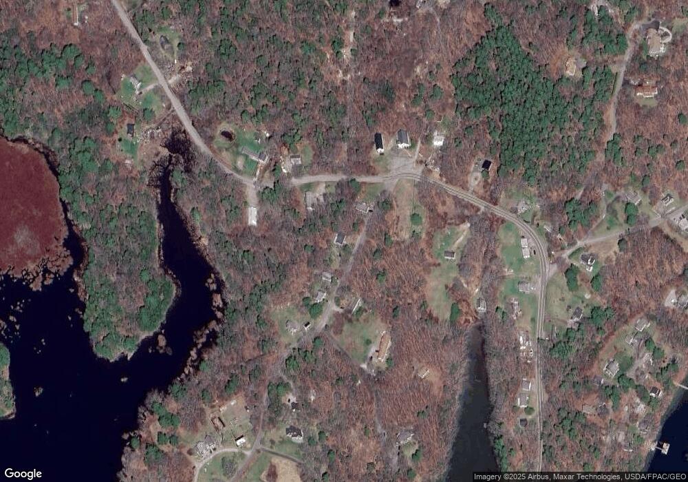
Map
Nearby Homes
- 44-4 Windrush Ln
- M4 L12.30B McCarty Cove Rd
- 23 Sunny Acres Ln
- 576 Back River Rd
- 124 Main Rd
- 978 Wiscasset Rd
- 32 Murray Hill Rd
- 693 Wiscasset Rd
- 712 Back River Rd
- 302 Townsend Ave
- 670 Wiscasset Rd
- 119 Knubble Bay Rd
- 0 Maine 144
- 19 Riverside Ave
- 96 Forest Haven Rd
- 12 Sea St
- 26 Sea St
- 43 Oak St
- 66 Townsend Avenue & 43 Oak St
- 66 Townsend Ave
- 16 W Side Rd
- 25 Kimballtown Rd
- 31 Kimballtown Rd
- 24 W Side Rd
- 95 W Side Rd
- 8 Flos Ln
- 467 Barters Island Rd
- 465 Barters Island Rd
- 16 Flo's Ln
- 465 W Barters Island Rd
- 450 Barters Island Rd
- 455 Barters Island Rd
- 448 Barters Island Rd
- 50 Kimballtown Rd
- 14 Barn Rd
- 26 Flos Ln
- 25 Kimballtown Rd
- 42 W Side Rd
- 372 E Side Rd
- 441 Barters Island Rd