13 Kimberly Cir Coatesville, PA 19320
Valley NeighborhoodEstimated Value: $381,786 - $407,000
3
Beds
2
Baths
1,602
Sq Ft
$246/Sq Ft
Est. Value
About This Home
This home is located at 13 Kimberly Cir, Coatesville, PA 19320 and is currently estimated at $393,447, approximately $245 per square foot. 13 Kimberly Cir is a home located in Chester County with nearby schools including Kings Highway Elementary School, Coatesville Intermediate High School, and Coatesville Area Senior High School.
Ownership History
Date
Name
Owned For
Owner Type
Purchase Details
Closed on
Apr 12, 2002
Sold by
Blystone Douglas K
Bought by
Mcnally Sean M and Mcnally Jennifer A
Current Estimated Value
Home Financials for this Owner
Home Financials are based on the most recent Mortgage that was taken out on this home.
Original Mortgage
$159,200
Interest Rate
6.85%
Mortgage Type
FHA
Purchase Details
Closed on
Dec 28, 1999
Sold by
Kauffman Tas S and Kauffman Rose M
Bought by
Blystone Douglas K
Home Financials for this Owner
Home Financials are based on the most recent Mortgage that was taken out on this home.
Original Mortgage
$123,291
Interest Rate
7.71%
Create a Home Valuation Report for This Property
The Home Valuation Report is an in-depth analysis detailing your home's value as well as a comparison with similar homes in the area
Home Values in the Area
Average Home Value in this Area
Purchase History
| Date | Buyer | Sale Price | Title Company |
|---|---|---|---|
| Mcnally Sean M | $160,500 | Fidelity National Title Ins | |
| Blystone Douglas K | $133,000 | T A Title Insurance Company |
Source: Public Records
Mortgage History
| Date | Status | Borrower | Loan Amount |
|---|---|---|---|
| Previous Owner | Mcnally Sean M | $159,200 | |
| Previous Owner | Blystone Douglas K | $123,291 |
Source: Public Records
Tax History Compared to Growth
Tax History
| Year | Tax Paid | Tax Assessment Tax Assessment Total Assessment is a certain percentage of the fair market value that is determined by local assessors to be the total taxable value of land and additions on the property. | Land | Improvement |
|---|---|---|---|---|
| 2025 | $6,159 | $121,070 | $26,280 | $94,790 |
| 2024 | $6,159 | $121,070 | $26,280 | $94,790 |
| 2023 | $6,001 | $121,070 | $26,280 | $94,790 |
| 2022 | $5,816 | $121,070 | $26,280 | $94,790 |
| 2021 | $5,636 | $121,070 | $26,280 | $94,790 |
| 2020 | $5,584 | $121,070 | $26,280 | $94,790 |
| 2019 | $5,378 | $121,070 | $26,280 | $94,790 |
| 2018 | $5,155 | $121,070 | $26,280 | $94,790 |
| 2017 | $4,822 | $121,070 | $26,280 | $94,790 |
| 2016 | $3,802 | $121,070 | $26,280 | $94,790 |
| 2015 | $3,802 | $121,070 | $26,280 | $94,790 |
| 2014 | $3,802 | $121,070 | $26,280 | $94,790 |
Source: Public Records
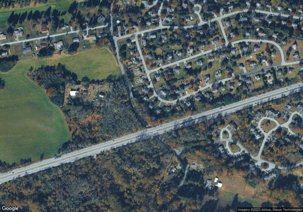
Map
Nearby Homes
- 37 Lamberts Ln
- 809 Meadowbrook Dr
- 380 Hamilton Ln
- 801 Franklin St
- 787 W Main St
- 924 Lafayette
- 110 Coldbrooke Ln
- 131 Highland Dr
- 721 Wagontown Rd
- 717 Wagontown Rd
- 705 W Lincoln Hwy
- 0 Ross Ln
- 141 Penn Dr
- 143 Penn Dr
- 128 Larose Dr Unit 1F
- 30 Tuxford Ln Unit 30
- 389 Larose Dr Unit 389
- 145 Penn Dr
- 122 Penn Dr
- 775 Wagontown Rd