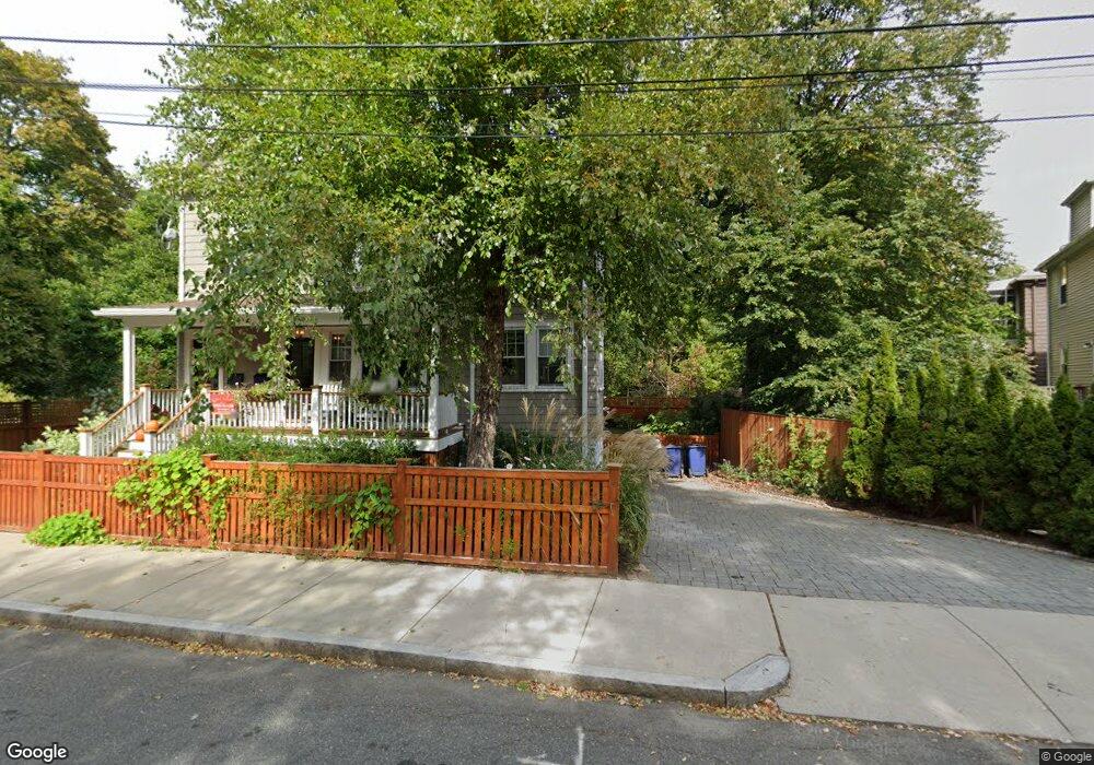
13 Lake Shore Rd Brighton, MA 02135
Brighton NeighborhoodEstimated Value: $1,524,000 - $1,996,904
6
Beds
4
Baths
3,812
Sq Ft
$457/Sq Ft
Est. Value
About This Home
This home is located at 13 Lake Shore Rd, Brighton, MA 02135 and is currently estimated at $1,742,226, approximately $457 per square foot. 13 Lake Shore Rd is a home located in Suffolk County with nearby schools including St Columbkille Partnership School, Mesivta High School of Greater Boston, and Yeshiva Ohr Yisrael High School for Boys.
Ownership History
Date
Name
Owned For
Owner Type
Purchase Details
Closed on
Sep 13, 2004
Sold by
Varteresian Richard S
Bought by
Bourque Candice J and Dowling Damian K
Current Estimated Value
Home Financials for this Owner
Home Financials are based on the most recent Mortgage that was taken out on this home.
Original Mortgage
$90,000
Outstanding Balance
$45,182
Interest Rate
6.08%
Mortgage Type
Purchase Money Mortgage
Estimated Equity
$1,697,044
Create a Home Valuation Report for This Property
The Home Valuation Report is an in-depth analysis detailing your home's value as well as a comparison with similar homes in the area
Home Values in the Area
Average Home Value in this Area
Purchase History
| Date | Buyer | Sale Price | Title Company |
|---|---|---|---|
| Bourque Candice J | $600,000 | -- |
Source: Public Records
Mortgage History
| Date | Status | Borrower | Loan Amount |
|---|---|---|---|
| Open | Bourque Candice J | $90,000 |
Source: Public Records
Tax History Compared to Growth
Tax History
| Year | Tax Paid | Tax Assessment Tax Assessment Total Assessment is a certain percentage of the fair market value that is determined by local assessors to be the total taxable value of land and additions on the property. | Land | Improvement |
|---|---|---|---|---|
| 2025 | $19,179 | $1,656,200 | $435,000 | $1,221,200 |
| 2024 | $17,130 | $1,571,600 | $328,800 | $1,242,800 |
| 2023 | $16,879 | $1,571,600 | $328,800 | $1,242,800 |
| 2022 | $15,981 | $1,468,800 | $307,300 | $1,161,500 |
| 2021 | $15,672 | $1,468,800 | $307,300 | $1,161,500 |
| 2020 | $14,429 | $1,366,400 | $285,900 | $1,080,500 |
| 2019 | $13,841 | $1,313,200 | $229,400 | $1,083,800 |
| 2018 | $9,025 | $861,200 | $220,600 | $640,600 |
| 2017 | $8,851 | $835,800 | $220,600 | $615,200 |
| 2016 | $8,209 | $746,300 | $220,600 | $525,700 |
| 2015 | $7,730 | $638,300 | $218,500 | $419,800 |
| 2014 | $6,957 | $553,000 | $218,500 | $334,500 |
Source: Public Records
Map
Nearby Homes
- 12 Mina Way
- 10 Mina Way
- 8 Kenrick St Unit 10
- 34 Larch St Unit 34
- 32 Larch St Unit 34
- 36-38 Bostonia Ave
- 461 Washington St Unit 301
- 144 Kenrick St Unit 32
- 14 Lake Shore Ct Unit 1
- 116 Lake Shore Rd Unit 4
- 18 Rushmore St Unit 18
- 29 Undine Rd
- 154 Lake Shore Rd Unit 4
- 30 Dighton St
- 365 Faneuil St Unit 2
- 30 Lake Shore Ct Unit 1
- 357 Faneuil St Unit 12
- 5 Radnor Rd
- 2021 Commonwealth Ave Unit B
- 87-89 Bennett St
- 148 Lake St Unit 1
- 148 Lake St Unit 152
- 136 Lake St Unit 138
- 136 Lake St Unit 1
- 138 Lake St Unit 2
- 152 Lake St
- 152 Lake St Unit 2
- 152 Lake St
- 152 Lake St Unit 1
- 134 Lake St
- 156 Lake St
- 156 Lake St Unit A
- 160 Lake St
- 130 Lake St
- 24 Kenrick St Unit 26
- 12 Kenrick St Unit 2
- 12 Kenrick St Unit 1
- 161 Lake St
- 8 Kenrick St Unit A
- 8 Kenrick St Unit 2