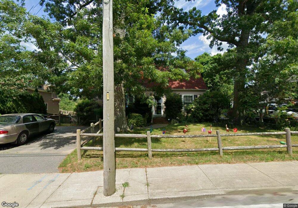
13 Liberty St Plymouth, MA 02360
North Plymouth NeighborhoodEstimated Value: $514,323 - $562,000
2
Beds
1
Bath
1,230
Sq Ft
$435/Sq Ft
Est. Value
About This Home
This home is located at 13 Liberty St, Plymouth, MA 02360 and is currently estimated at $534,581, approximately $434 per square foot. 13 Liberty St is a home located in Plymouth County with nearby schools including Hedge Elementary School, Plymouth Community Intermediate, and Plymouth North High School.
Ownership History
Date
Name
Owned For
Owner Type
Purchase Details
Closed on
Jan 21, 2010
Sold by
Liberty Rt and Balboni Joseph A
Bought by
Adams Laurance M and Moore Donna M
Current Estimated Value
Purchase Details
Closed on
Feb 24, 1989
Sold by
Shiretown Rt
Bought by
Balboni Joseph A
Home Financials for this Owner
Home Financials are based on the most recent Mortgage that was taken out on this home.
Original Mortgage
$49,600
Interest Rate
10.75%
Mortgage Type
Purchase Money Mortgage
Create a Home Valuation Report for This Property
The Home Valuation Report is an in-depth analysis detailing your home's value as well as a comparison with similar homes in the area
Home Values in the Area
Average Home Value in this Area
Purchase History
| Date | Buyer | Sale Price | Title Company |
|---|---|---|---|
| Adams Laurance M | $242,500 | -- | |
| Balboni Joseph A | $62,000 | -- |
Source: Public Records
Mortgage History
| Date | Status | Borrower | Loan Amount |
|---|---|---|---|
| Previous Owner | Balboni Joseph A | $49,600 |
Source: Public Records
Tax History Compared to Growth
Tax History
| Year | Tax Paid | Tax Assessment Tax Assessment Total Assessment is a certain percentage of the fair market value that is determined by local assessors to be the total taxable value of land and additions on the property. | Land | Improvement |
|---|---|---|---|---|
| 2025 | $5,633 | $443,900 | $226,400 | $217,500 |
| 2024 | $5,490 | $426,600 | $215,200 | $211,400 |
| 2023 | $5,271 | $384,500 | $189,400 | $195,100 |
| 2022 | $5,416 | $351,000 | $180,800 | $170,200 |
| 2021 | $5,204 | $322,000 | $176,500 | $145,500 |
| 2020 | $5,145 | $314,700 | $172,200 | $142,500 |
| 2019 | $4,580 | $276,900 | $137,800 | $139,100 |
| 2018 | $4,462 | $271,100 | $133,500 | $137,600 |
| 2017 | $4,231 | $255,200 | $133,500 | $121,700 |
| 2016 | $4,081 | $250,800 | $129,100 | $121,700 |
| 2015 | $3,818 | $245,700 | $124,000 | $121,700 |
| 2014 | $3,643 | $240,800 | $124,000 | $116,800 |
Source: Public Records
Map
Nearby Homes
- 52 Liberty St Unit L3
- 52 Liberty St Unit C5
- 211 Court St
- 291 Court St
- 63 Cherry St
- 60 Robbins Rd Unit 25
- 4 S Spooner St Unit 6
- 4 S Spooner St Unit 7
- 4 S Spooner St Unit 8
- 2 S Spooner St Unit 3
- 2 S Spooner St Unit 1
- 2 S Spooner St Unit 4
- 134 Court St Unit 6
- 134 Court St Unit 9
- 134 Court St Unit 12
- 216 Water St Unit B306
- 216 Water St Unit 101B
- 20-22 Hedge Rd
- 15 Caswell Ln Unit 6
- 70 Hedge Rd
- 11 Liberty St
- 19 Liberty St
- 21 Liberty St Unit 23
- 12 Nicks Rock Rd
- 27 Liberty St
- 19 Ocean View Ave
- 17 Ocean View Ave
- 15 Ocean View Ave
- 29 Liberty St
- 5 Liberty St
- 5 Liberty St Unit 5J
- 16 Nicks Rock Rd
- 13 Ocean View Ave
- 18 Nicks Rock Rd
- 31 Liberty St
- 130 Standish Ave
- 34 Liberty St
- 34 Liberty St Unit 1
- 126 Standish Ave
- 22 Nicks Rock Rd