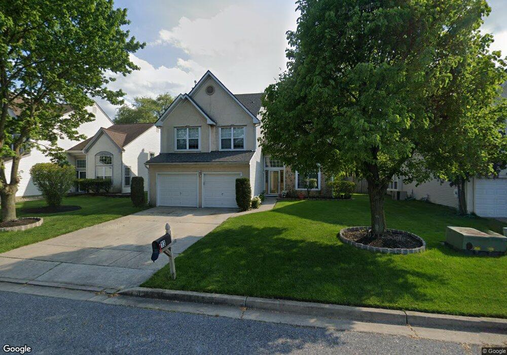
13 Longbridge Dr Mount Laurel, NJ 08054
Estimated Value: $561,181 - $665,000
--
Bed
--
Bath
2,491
Sq Ft
$247/Sq Ft
Est. Value
About This Home
This home is located at 13 Longbridge Dr, Mount Laurel, NJ 08054 and is currently estimated at $616,045, approximately $247 per square foot. 13 Longbridge Dr is a home located in Burlington County with nearby schools including Countryside Elementary School, T.E. Harrington Middle School, and Mount Laurel Hartford School.
Ownership History
Date
Name
Owned For
Owner Type
Purchase Details
Closed on
May 15, 1998
Sold by
Sum Edmond and So Nancy Shiu Wing
Bought by
Patel Harish and Patel Ketaki
Current Estimated Value
Home Financials for this Owner
Home Financials are based on the most recent Mortgage that was taken out on this home.
Original Mortgage
$138,400
Outstanding Balance
$26,878
Interest Rate
7.03%
Estimated Equity
$589,167
Create a Home Valuation Report for This Property
The Home Valuation Report is an in-depth analysis detailing your home's value as well as a comparison with similar homes in the area
Home Values in the Area
Average Home Value in this Area
Purchase History
| Date | Buyer | Sale Price | Title Company |
|---|---|---|---|
| Patel Harish | $173,000 | Surety Title Corporation |
Source: Public Records
Mortgage History
| Date | Status | Borrower | Loan Amount |
|---|---|---|---|
| Open | Patel Harish | $138,400 |
Source: Public Records
Tax History Compared to Growth
Tax History
| Year | Tax Paid | Tax Assessment Tax Assessment Total Assessment is a certain percentage of the fair market value that is determined by local assessors to be the total taxable value of land and additions on the property. | Land | Improvement |
|---|---|---|---|---|
| 2025 | $10,156 | $321,700 | $98,000 | $223,700 |
| 2024 | $9,773 | $321,700 | $98,000 | $223,700 |
| 2023 | $9,773 | $321,700 | $98,000 | $223,700 |
| 2022 | $9,741 | $321,700 | $98,000 | $223,700 |
| 2021 | $9,109 | $321,700 | $98,000 | $223,700 |
| 2020 | $9,371 | $321,700 | $98,000 | $223,700 |
| 2019 | $9,275 | $321,700 | $98,000 | $223,700 |
| 2018 | $9,204 | $321,700 | $98,000 | $223,700 |
| 2017 | $8,966 | $321,700 | $98,000 | $223,700 |
| 2016 | $8,831 | $321,700 | $98,000 | $223,700 |
| 2015 | $8,728 | $321,700 | $98,000 | $223,700 |
| 2014 | $8,641 | $321,700 | $98,000 | $223,700 |
Source: Public Records
Map
Nearby Homes
- 53 Saw Mill Dr
- 907A Oliphant Ln Unit 907A
- 12 B E Daisy Ln
- 6 Leighton Dr
- 205 Kirby Way Unit 205
- 130B Birchfield Ct Unit 130B
- 123A Birchfield Ct Unit 123A
- 13 Village Ct Unit 13
- 603 Kirby Way Unit 603
- 40 E Oleander Dr
- 70B Sumac Ct Unit 70B
- 60B Sumac Ct
- 705A Wharton Rd
- 11 E Berwin Way
- 1201A Ginger Ct
- 6 E Azalea Ln
- 23 E Oleander Dr
- 74 Poppy Ct
- 1302 Ginger Dr
- 124 W Berwin Way
- 15 Longbridge Dr
- 11 Longbridge Dr
- 9 Longbridge Dr
- 11 Cooks Mill Ct
- 1 Biddle Way
- 16 Longbridge Dr
- 10 Cooks Mill Ct
- 18 Longbridge Dr
- 3 Biddle Way
- 12 Longbridge Dr
- 9 Cooks Mill Ct
- 10 Longbridge Dr
- 5 Biddle Way
- 4 Barton Way
- 20 Longbridge Dr
- 2 Ballinger Way
- 6 Barton Way
- 8 Cooks Mill Ct
- 8 Longbridge Dr
- 4 Ballinger Way