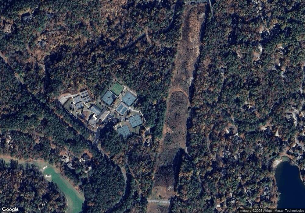
Estimated Value: $480,175 - $652,000
3
Beds
2
Baths
2,022
Sq Ft
$267/Sq Ft
Est. Value
About This Home
This home is located at 13 Low Tide Ct Unit 33, Salem, SC 29676 and is currently estimated at $540,794, approximately $267 per square foot. 13 Low Tide Ct Unit 33 is a home located in Oconee County with nearby schools including Keowee Elementary School, Walhalla Middle School, and Walhalla High School.
Ownership History
Date
Name
Owned For
Owner Type
Purchase Details
Closed on
May 26, 2017
Sold by
Farrell Karen M
Bought by
Hansen Eugene B and Hansen Beverly E
Current Estimated Value
Home Financials for this Owner
Home Financials are based on the most recent Mortgage that was taken out on this home.
Original Mortgage
$228,693
Outstanding Balance
$189,964
Interest Rate
3.97%
Mortgage Type
VA
Estimated Equity
$350,830
Purchase Details
Closed on
Dec 12, 2011
Sold by
Rehoric James M
Bought by
Farell Karen M
Purchase Details
Closed on
Nov 10, 2010
Sold by
Robertson Ian T and Robertson Carolyn E
Bought by
Farrell Karen M and Rehoric James M
Create a Home Valuation Report for This Property
The Home Valuation Report is an in-depth analysis detailing your home's value as well as a comparison with similar homes in the area
Home Values in the Area
Average Home Value in this Area
Purchase History
| Date | Buyer | Sale Price | Title Company |
|---|---|---|---|
| Hansen Eugene B | $232,000 | None Available | |
| Farell Karen M | -- | -- | |
| Farrell Karen M | $240,000 | -- |
Source: Public Records
Mortgage History
| Date | Status | Borrower | Loan Amount |
|---|---|---|---|
| Open | Hansen Eugene B | $228,693 |
Source: Public Records
Tax History Compared to Growth
Tax History
| Year | Tax Paid | Tax Assessment Tax Assessment Total Assessment is a certain percentage of the fair market value that is determined by local assessors to be the total taxable value of land and additions on the property. | Land | Improvement |
|---|---|---|---|---|
| 2024 | $969 | $9,917 | $734 | $9,183 |
| 2023 | $981 | $9,917 | $734 | $9,183 |
| 2022 | $981 | $9,917 | $734 | $9,183 |
| 2021 | $3,610 | $9,414 | $734 | $8,680 |
| 2020 | $932 | $9,414 | $734 | $8,680 |
| 2019 | $932 | $0 | $0 | $0 |
| 2018 | $2,225 | $0 | $0 | $0 |
| 2017 | $3,610 | $0 | $0 | $0 |
| 2016 | $3,610 | $0 | $0 | $0 |
| 2015 | -- | $0 | $0 | $0 |
| 2014 | -- | $15,735 | $1,961 | $13,774 |
| 2013 | -- | $0 | $0 | $0 |
Source: Public Records
Map
Nearby Homes
- 7 Drifter Ln
- 213 Shipmaster Dr
- 487 Tall Ship Dr Unit 323
- 487 Tall Ship Dr Unit 225
- 12 Calm Sea Dr
- 491 Tall Ship Dr Unit 326
- 499 Tall Ship Dr Unit 233
- 495 Tall Ship Dr Unit 340
- 49 Starboard Tack Dr
- 509 Tall Ship Dr Unit 207
- 108 Club Ct
- 519 Tall Ship Dr Unit 119
- 3 Horizon Pointe Ln
- 116 State Road S-37-128
- 241 Night Cap Ln
- 4 Sail Maker Ct
- 44 Channel Ln
- 6 Port Tack Dr
- 19 Passage Ln
- 13 Passage Ln
- 5 Low Tide Ct
- 6 Low Tide Ct
- 1 Crest Dr
- 1051 Stamp Creek Rd
- 4 Low Tide Ct
- 203 Shipmaster Dr
- 33008 Low Tide Ct
- 0 Crystal Cove Trail Unit 1286571
- 0 Crystal Cove Trail
- 11 Plainsail Ct Unit Lot 44 Unit 20 Plain
- 20043 Plainsail Ct
- 15 Plainsail Ct
- 2 Plainsail Ct
- 13 & 15 Plainsail Ct
- 9 Plainsail Ct
- 5 Crest Dr
- 4 Crest Dr Unit 19 Lot 12
- 4 Crest Dr
- 4 Crest Dr Unit 19, Lot 13
- 14 Plainsail Ct
