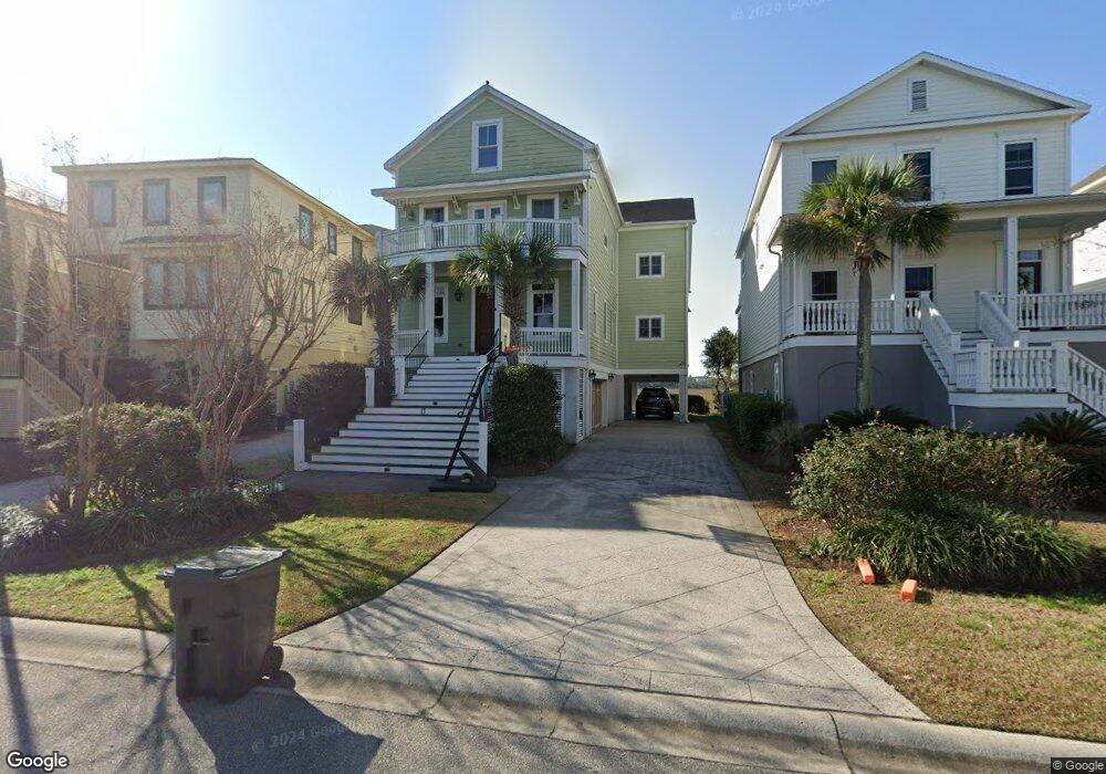
13 Lowndes Pointe Dr Charleston, SC 29403
Wagener Terrace NeighborhoodEstimated Value: $2,629,108 - $3,205,000
5
Beds
5
Baths
5,216
Sq Ft
$553/Sq Ft
Est. Value
About This Home
This home is located at 13 Lowndes Pointe Dr, Charleston, SC 29403 and is currently estimated at $2,884,527, approximately $553 per square foot. 13 Lowndes Pointe Dr is a home located in Charleston County with nearby schools including James Simons Elementary School, Mitchell Elementary School, and Simmons Pinckney Middle.
Ownership History
Date
Name
Owned For
Owner Type
Purchase Details
Closed on
Jan 9, 2018
Sold by
Aylor Andrew Lawrence
Bought by
Aylor David
Current Estimated Value
Home Financials for this Owner
Home Financials are based on the most recent Mortgage that was taken out on this home.
Original Mortgage
$548,000
Interest Rate
2.9%
Mortgage Type
New Conventional
Purchase Details
Closed on
Sep 1, 2006
Sold by
Agosti Charles A and Agosti Charles A
Bought by
Fiorini Ryan N and Fiorini Jennifer H
Purchase Details
Closed on
Apr 6, 2004
Sold by
Lowndes Point Partners Llc
Bought by
Agosti Charles A and Agosti Charles A
Create a Home Valuation Report for This Property
The Home Valuation Report is an in-depth analysis detailing your home's value as well as a comparison with similar homes in the area
Home Values in the Area
Average Home Value in this Area
Purchase History
| Date | Buyer | Sale Price | Title Company |
|---|---|---|---|
| Aylor David | -- | None Listed On Document | |
| Fiorini Ryan N | $525,000 | None Available | |
| Agosti Charles A | $325,000 | -- |
Source: Public Records
Mortgage History
| Date | Status | Borrower | Loan Amount |
|---|---|---|---|
| Previous Owner | Aylor David | $548,000 |
Source: Public Records
Tax History Compared to Growth
Tax History
| Year | Tax Paid | Tax Assessment Tax Assessment Total Assessment is a certain percentage of the fair market value that is determined by local assessors to be the total taxable value of land and additions on the property. | Land | Improvement |
|---|---|---|---|---|
| 2024 | $6,869 | $48,570 | $0 | $0 |
| 2023 | $6,144 | $48,570 | $0 | $0 |
| 2022 | $5,789 | $48,570 | $0 | $0 |
| 2021 | $6,081 | $48,570 | $0 | $0 |
| 2020 | $6,311 | $48,570 | $0 | $0 |
| 2019 | $5,595 | $42,230 | $0 | $0 |
| 2017 | $5,395 | $42,230 | $0 | $0 |
| 2016 | $5,162 | $42,230 | $0 | $0 |
| 2015 | $5,342 | $42,230 | $0 | $0 |
| 2014 | $5,417 | $0 | $0 | $0 |
| 2011 | -- | $0 | $0 | $0 |
Source: Public Records
Map
Nearby Homes
- 1011 Ashley Ave
- 924 Rutledge Ave
- 2130 Weaver St
- 35 N Enston Ave
- 43 N Enston Ave
- 4 Piedmont Ave
- 171 Mary Ellen Dr
- 172 Mary Ellen Dr
- 1328 Cottonwood St
- 77 Cypress St
- 78 Maple St
- 874 Ashley Ave
- 872 Ashley Ave
- 814 Rutledge Ave
- 34 Lenox St
- 12 Gordon St
- 208 Gordon St
- 220 3rd Ave Unit 4B
- 65 Simons St
- 1 Paige Ct
- 15 Lowndes Pointe Dr
- 11 Lowndes Pointe Dr
- 9 Lowndes Pointe Dr
- 17 Lowndes Pointe Dr
- 7 Lowndes Pointe Dr
- 19 Lowndes Pointe Dr
- 5 Lowndes Pointe Dr
- 21 Lowndes Pointe Dr
- 3 Lowndes Pointe Dr
- 16 Parrothead Ln
- 25 Lowndes Pointe Dr
- 20 Lowndes Pointe Dr
- 14 Parrothead St
- 12 Parrothead St
- 27 Lowndes Pointe Dr
- 10 Parrothead St
- 6 Parrothead Ln
- 8 Parrothead St
- 22 Lowndes Pointe Dr
- 8 Parrothead Ln