13 Macarthur Rd North Reading, MA 01864
Estimated Value: $827,333 - $962,000
4
Beds
3
Baths
1,998
Sq Ft
$445/Sq Ft
Est. Value
About This Home
This home is located at 13 Macarthur Rd, North Reading, MA 01864 and is currently estimated at $889,333, approximately $445 per square foot. 13 Macarthur Rd is a home located in Middlesex County with nearby schools including E Ethel Little School, North Reading Middle School, and North Reading High School.
Ownership History
Date
Name
Owned For
Owner Type
Purchase Details
Closed on
Sep 4, 1992
Sold by
Sinbad Rt
Bought by
Obrien Patrick J and Obriens Deborah
Current Estimated Value
Home Financials for this Owner
Home Financials are based on the most recent Mortgage that was taken out on this home.
Original Mortgage
$124,800
Interest Rate
8.09%
Mortgage Type
Purchase Money Mortgage
Purchase Details
Closed on
Apr 7, 1992
Sold by
Ciarfella Catherine R and Ciarfella Frank C
Bought by
Mangano James W
Create a Home Valuation Report for This Property
The Home Valuation Report is an in-depth analysis detailing your home's value as well as a comparison with similar homes in the area
Home Values in the Area
Average Home Value in this Area
Purchase History
| Date | Buyer | Sale Price | Title Company |
|---|---|---|---|
| Obrien Patrick J | $156,000 | -- | |
| Mangano James W | $65,000 | -- |
Source: Public Records
Mortgage History
| Date | Status | Borrower | Loan Amount |
|---|---|---|---|
| Open | Mangano James W | $100,000 | |
| Closed | Mangano James W | $100,000 | |
| Closed | Mangano James W | $100,000 | |
| Closed | Mangano James W | $124,800 |
Source: Public Records
Tax History
| Year | Tax Paid | Tax Assessment Tax Assessment Total Assessment is a certain percentage of the fair market value that is determined by local assessors to be the total taxable value of land and additions on the property. | Land | Improvement |
|---|---|---|---|---|
| 2025 | $9,331 | $714,500 | $387,500 | $327,000 |
| 2024 | $9,148 | $692,500 | $365,500 | $327,000 |
| 2023 | $9,007 | $643,800 | $335,600 | $308,200 |
| 2022 | $8,319 | $554,600 | $305,300 | $249,300 |
| 2021 | $8,045 | $514,700 | $279,000 | $235,700 |
Source: Public Records
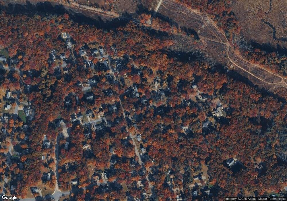
Map
Nearby Homes
- 220 Martins Landing Unit 411
- 220 Martins Landing Unit 410
- 220 Martins Landing Unit 309
- 260 Martins Landing Unit 508
- 260 Martins Landing Unit 102
- 200 Martins Landing Unit 102
- 320 Martins Landing Unit 401
- 320 Martins Landing Unit 310
- 320 Martins Landing Unit 211
- 320 Martins Landing Unit 2410
- 320 Martins Landing Unit 502
- 320 Martins Landing Unit 107
- 320 Martins Landing Unit 210
- 320 Martins Landing Unit 404
- 320 Martins Landing Unit 209
- 280 Martins Landing Unit 312
- 300 Martins Landing Unit 505
- 17 Carson Ave
- 28 Nutter Rd
- 1 Greenbriar Dr Unit 303
- 41 Linwood Ave
- 8 Macarthur Rd
- 37 Linwood Ave
- 43 Linwood Ave
- 9 Macarthur Rd
- 6 Cold Spring Rd
- 6 Macarthur Rd
- 11 Macarthur Rd
- 15 Macarthur Rd
- 38 Linwood Ave
- 35 Linwood Ave
- 36 Linwood Ave
- 36 Linwood Ave Unit 36
- 42 Linwood Ave
- 45 Linwood Ave
- 1 Locust St
- 29 Linwood Ave
- 10 Macarthur Rd
- 17 Macarthur Rd
- 46 Linwood Ave
Your Personal Tour Guide
Ask me questions while you tour the home.