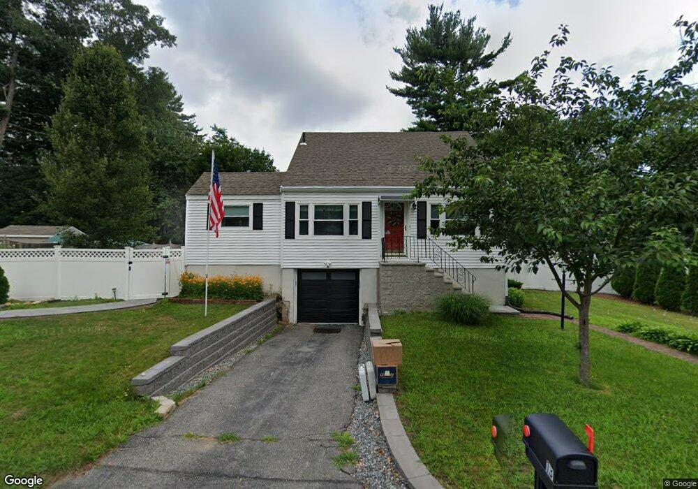
13 Marcus Rd Wilmington, MA 01887
Estimated Value: $659,000 - $820,000
3
Beds
1
Bath
1,502
Sq Ft
$482/Sq Ft
Est. Value
About This Home
This home is located at 13 Marcus Rd, Wilmington, MA 01887 and is currently estimated at $724,146, approximately $482 per square foot. 13 Marcus Rd is a home located in Middlesex County with nearby schools including Wilmington Middle School, Wilmington High School, and N Reading Knowledge Beginnings.
Ownership History
Date
Name
Owned For
Owner Type
Purchase Details
Closed on
Sep 1, 1988
Sold by
Marino Stephen A C
Bought by
Barrar John B
Current Estimated Value
Home Financials for this Owner
Home Financials are based on the most recent Mortgage that was taken out on this home.
Original Mortgage
$77,000
Interest Rate
10.38%
Mortgage Type
Purchase Money Mortgage
Create a Home Valuation Report for This Property
The Home Valuation Report is an in-depth analysis detailing your home's value as well as a comparison with similar homes in the area
Purchase History
| Date | Buyer | Sale Price | Title Company |
|---|---|---|---|
| Barrar John B | $172,000 | -- |
Source: Public Records
Mortgage History
| Date | Status | Borrower | Loan Amount |
|---|---|---|---|
| Open | Barrar John B | $7,500 | |
| Open | Barrar John B | $73,500 | |
| Closed | Barrar John B | $77,000 |
Source: Public Records
Tax History
| Year | Tax Paid | Tax Assessment Tax Assessment Total Assessment is a certain percentage of the fair market value that is determined by local assessors to be the total taxable value of land and additions on the property. | Land | Improvement |
|---|---|---|---|---|
| 2025 | $6,878 | $600,700 | $299,800 | $300,900 |
| 2024 | $6,586 | $576,200 | $299,800 | $276,400 |
| 2023 | $6,505 | $544,800 | $272,500 | $272,300 |
| 2022 | $6,275 | $481,600 | $227,000 | $254,600 |
| 2021 | $6,092 | $440,200 | $206,400 | $233,800 |
| 2020 | $5,899 | $434,400 | $206,400 | $228,000 |
| 2019 | $5,816 | $423,000 | $196,600 | $226,400 |
| 2018 | $5,490 | $381,000 | $187,200 | $193,800 |
| 2017 | $5,160 | $357,100 | $178,300 | $178,800 |
| 2016 | $5,001 | $341,800 | $169,800 | $172,000 |
| 2015 | $4,765 | $331,600 | $169,800 | $161,800 |
| 2014 | $4,484 | $314,900 | $161,700 | $153,200 |
Source: Public Records
Map
Nearby Homes
- 41 Marcus Rd
- 21 Marcia Rd
- 17 Carson Ave
- 10 Pilling Rd
- 9 Marie Dr
- 15 Mystic Ave
- 280 Martins Landing Unit 312
- 220 Martins Landing Unit 309
- 260 Martins Landing Unit 508
- 200 Martins Landing Unit 102
- 12 Hamlin Ln
- 250 Martins Landing Unit 402
- 320 Martins Landing Unit 401
- 320 Martins Landing Unit 2410
- 320 Martins Landing Unit 502
- 320 Martins Landing Unit 102
- 320 Martins Landing Unit 107
- 320 Martins Landing Unit 404
- 320 Martins Landing Unit 209
- 28 Nutter Rd
Your Personal Tour Guide
Ask me questions while you tour the home.