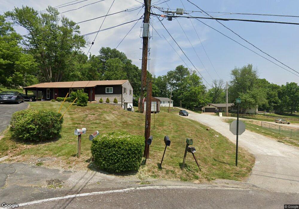
13 Mark Dr Fenton, MO 63026
Estimated Value: $189,955 - $284,000
Studio
--
Bath
1,712
Sq Ft
$139/Sq Ft
Est. Value
About This Home
This home is located at 13 Mark Dr, Fenton, MO 63026 and is currently estimated at $238,239, approximately $139 per square foot. 13 Mark Dr is a home located in Jefferson County with nearby schools including Northwest High School, Messenger Christian School, and Heritage Classical Christian Academy.
Ownership History
Date
Name
Owned For
Owner Type
Purchase Details
Closed on
Oct 15, 2022
Sold by
Moody James D
Bought by
Moody James D
Current Estimated Value
Home Financials for this Owner
Home Financials are based on the most recent Mortgage that was taken out on this home.
Original Mortgage
$164,000
Outstanding Balance
$157,650
Interest Rate
5.89%
Mortgage Type
New Conventional
Estimated Equity
$80,589
Purchase Details
Closed on
Sep 25, 2001
Sold by
Moody James D and Moody Charlotte M
Bought by
Moody James D and Moody Charlotte M
Home Financials for this Owner
Home Financials are based on the most recent Mortgage that was taken out on this home.
Original Mortgage
$105,600
Interest Rate
6.88%
Create a Home Valuation Report for This Property
The Home Valuation Report is an in-depth analysis detailing your home's value as well as a comparison with similar homes in the area
Home Values in the Area
Average Home Value in this Area
Purchase History
| Date | Buyer | Sale Price | Title Company |
|---|---|---|---|
| Moody James D | -- | -- | |
| Moody James D | -- | Nations Title Agency Inc |
Source: Public Records
Mortgage History
| Date | Status | Borrower | Loan Amount |
|---|---|---|---|
| Open | Moody James D | $164,000 | |
| Previous Owner | Moody James D | $105,600 |
Source: Public Records
Tax History
| Year | Tax Paid | Tax Assessment Tax Assessment Total Assessment is a certain percentage of the fair market value that is determined by local assessors to be the total taxable value of land and additions on the property. | Land | Improvement |
|---|---|---|---|---|
| 2025 | $2,668 | $20,400 | $1,800 | $18,600 |
| 2024 | $2,668 | $18,600 | $1,800 | $16,800 |
| 2023 | $2,668 | $18,600 | $1,800 | $16,800 |
| 2022 | $2,661 | $18,600 | $1,800 | $16,800 |
| 2021 | $2,653 | $18,600 | $1,800 | $16,800 |
| 2020 | $2,532 | $16,500 | $1,400 | $15,100 |
| 2019 | $2,530 | $16,500 | $1,400 | $15,100 |
| 2018 | $2,502 | $15,900 | $1,400 | $14,500 |
| 2016 | $2,328 | $14,700 | $1,500 | $13,200 |
Source: Public Records
Map
Nearby Homes
- 1375 Mosswoods Dr
- 916 Tree Trails Ln
- 946 Tree Trails Ln
- 800 Mary Lee Ct
- 811 Mary Lee Ct
- 1360 Premio Dr
- 998 Tree Trails Ln
- 711 Mosely Ct
- 818 Mary Lee Ct
- 1185 Scheel Ln
- 1812 Debbie Dr
- 1406 Durango Ln Unit 7
- 1205 Newport Landing Dr
- 1221 Newport Landing Dr
- 1419 Durango Ln Unit 2
- 1233 Newport Landing Dr
- 100 Orchid Dr Unit 100
- 1829 Main Dr
- 91 Poppy Dr Unit 91
- 52 Glenwood Dr
Your Personal Tour Guide
Ask me questions while you tour the home.