13 Meadow Dr Littleton, MA 01460
Estimated Value: $805,146 - $1,017,000
3
Beds
3
Baths
1,830
Sq Ft
$512/Sq Ft
Est. Value
About This Home
This home is located at 13 Meadow Dr, Littleton, MA 01460 and is currently estimated at $936,287, approximately $511 per square foot. 13 Meadow Dr is a home located in Middlesex County with nearby schools including Shaker Lane Elementary School, Russell Street Elementary School, and Littleton Middle School.
Ownership History
Date
Name
Owned For
Owner Type
Purchase Details
Closed on
Sep 21, 2004
Sold by
Harrison John E and Baek Myoungju
Bought by
Ashworth Robert S and Ashworth Tamera M
Current Estimated Value
Purchase Details
Closed on
Jul 31, 2000
Sold by
Miller Bruce L and Miller Dawn P
Bought by
Harrison John E and Back Myoungju
Create a Home Valuation Report for This Property
The Home Valuation Report is an in-depth analysis detailing your home's value as well as a comparison with similar homes in the area
Home Values in the Area
Average Home Value in this Area
Purchase History
| Date | Buyer | Sale Price | Title Company |
|---|---|---|---|
| Ashworth Robert S | $549,000 | -- | |
| Harrison John E | $362,000 | -- |
Source: Public Records
Mortgage History
| Date | Status | Borrower | Loan Amount |
|---|---|---|---|
| Open | Harrison John E | $208,000 | |
| Closed | Harrison John E | $272,000 | |
| Closed | Harrison John E | $272,000 |
Source: Public Records
Tax History Compared to Growth
Tax History
| Year | Tax Paid | Tax Assessment Tax Assessment Total Assessment is a certain percentage of the fair market value that is determined by local assessors to be the total taxable value of land and additions on the property. | Land | Improvement |
|---|---|---|---|---|
| 2025 | $104 | $702,700 | $244,600 | $458,100 |
| 2024 | $10,428 | $702,700 | $244,600 | $458,100 |
| 2023 | $9,992 | $614,900 | $225,300 | $389,600 |
| 2022 | $9,625 | $543,500 | $225,300 | $318,200 |
| 2021 | $8,915 | $503,700 | $210,300 | $293,400 |
| 2020 | $8,865 | $498,900 | $204,500 | $294,400 |
| 2019 | $8,609 | $472,000 | $174,600 | $297,400 |
| 2018 | $8,473 | $467,100 | $174,600 | $292,500 |
| 2017 | $8,478 | $467,100 | $174,600 | $292,500 |
| 2016 | $8,201 | $463,600 | $174,600 | $289,000 |
| 2015 | $7,948 | $439,100 | $155,500 | $283,600 |
Source: Public Records
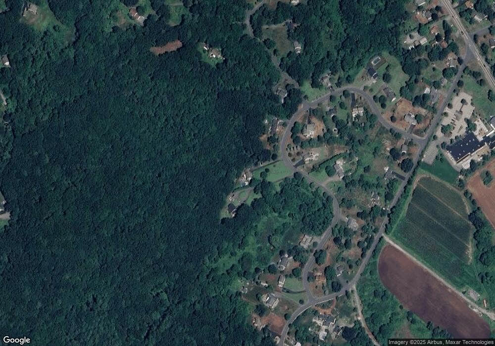
Map
Nearby Homes
- 4 Powers Rd
- 25 Grist Mill Rd
- 35 Queen Rd
- 84 Powers Rd
- 25 Laurel Rd
- 20 Dean Ln Unit 20
- 150 Goldsmith St
- 511 Tumbling Hawk Unit 511
- 517 Tumbling Hawk
- 522 Tumbling Hawk
- 237 Brown Bear Crossing Unit 237
- 484 Great Road -6
- 484 Great Road -4
- 484 Great Road -3
- 422 Great Elm Way
- 601 Old Stone Brook
- 9 Breezy Point Rd
- 115 Goldsmith St
- 445 Old Stone Brook
- 38 George St