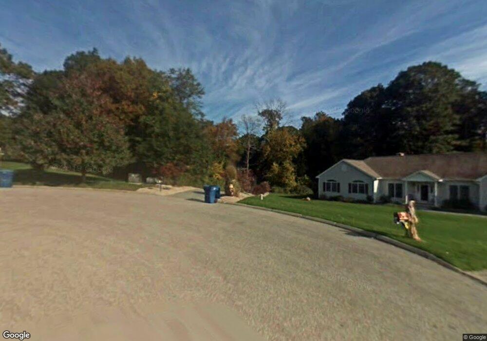
13 Memory Ln Waterford, CT 06385
Estimated Value: $599,000 - $731,000
3
Beds
3
Baths
2,413
Sq Ft
$275/Sq Ft
Est. Value
About This Home
This home is located at 13 Memory Ln, Waterford, CT 06385 and is currently estimated at $664,223, approximately $275 per square foot. 13 Memory Ln is a home located in New London County with nearby schools including Clark Lane Middle School, Waterford High School, and New London High School Multi-Magnet Campus.
Ownership History
Date
Name
Owned For
Owner Type
Purchase Details
Closed on
Aug 17, 1999
Sold by
Aldrich Glen
Bought by
Fedor Ronald R and Fedor Patricia A
Current Estimated Value
Home Financials for this Owner
Home Financials are based on the most recent Mortgage that was taken out on this home.
Original Mortgage
$322,200
Interest Rate
8%
Mortgage Type
Purchase Money Mortgage
Create a Home Valuation Report for This Property
The Home Valuation Report is an in-depth analysis detailing your home's value as well as a comparison with similar homes in the area
Home Values in the Area
Average Home Value in this Area
Purchase History
| Date | Buyer | Sale Price | Title Company |
|---|---|---|---|
| Fedor Ronald R | $95,000 | -- |
Source: Public Records
Mortgage History
| Date | Status | Borrower | Loan Amount |
|---|---|---|---|
| Open | Fedor Ronald R | $290,500 | |
| Closed | Fedor Ronald R | $322,200 |
Source: Public Records
Tax History
| Year | Tax Paid | Tax Assessment Tax Assessment Total Assessment is a certain percentage of the fair market value that is determined by local assessors to be the total taxable value of land and additions on the property. | Land | Improvement |
|---|---|---|---|---|
| 2025 | $7,855 | $336,250 | $94,030 | $242,220 |
| 2024 | $7,498 | $336,250 | $94,030 | $242,220 |
| 2023 | $7,129 | $336,250 | $94,030 | $242,220 |
| 2022 | $7,278 | $264,080 | $64,310 | $199,770 |
| 2021 | $7,299 | $264,080 | $64,310 | $199,770 |
| 2020 | $7,360 | $264,080 | $64,310 | $199,770 |
| 2019 | $7,389 | $264,080 | $64,310 | $199,770 |
| 2018 | $7,241 | $264,080 | $64,310 | $199,770 |
| 2017 | $7,309 | $270,400 | $66,340 | $204,060 |
| 2016 | $7,241 | $270,400 | $66,340 | $204,060 |
| 2015 | $6,984 | $270,400 | $66,340 | $204,060 |
| 2014 | $6,706 | $270,400 | $66,340 | $204,060 |
Source: Public Records
Map
Nearby Homes
- 164 Stoneheights Dr Unit 164
- 310 Boston Post Rd Unit 76
- 310 Boston Post Rd Unit 152
- 310 Boston Post Rd Unit 90
- 6 Fulmore Dr
- 9 Arrowhead Trail
- 398 & 402 Boston Post Rd
- 398 Boston Post Rd
- 16 Longview Ave
- 9 3rd Ave
- 276 Niantic River Rd
- 139 Oswegatchie Rd
- 270 Boston Post Rd Unit TRLR 6
- 32 Bishops Bay Rd
- 49 Cross Rd
- 20 North Rd
- 163 Oswegatchie Rd
- 213 Boston Post Rd
- 26 Beechwood Dr
- 12 Beechwood Dr