13 Millstone Dr Newtown, PA 18940
Estimated Value: $1,351,559 - $1,656,000
5
Beds
4
Baths
4,053
Sq Ft
$362/Sq Ft
Est. Value
About This Home
This home is located at 13 Millstone Dr, Newtown, PA 18940 and is currently estimated at $1,469,140, approximately $362 per square foot. 13 Millstone Dr is a home located in Bucks County with nearby schools including Newtown Elementary School, Newtown Middle School, and Council Rock High School North.
Ownership History
Date
Name
Owned For
Owner Type
Purchase Details
Closed on
Mar 19, 2001
Sold by
Orleans Corp
Bought by
Reading William J and Reading Donna M
Current Estimated Value
Home Financials for this Owner
Home Financials are based on the most recent Mortgage that was taken out on this home.
Original Mortgage
$648,800
Outstanding Balance
$236,777
Interest Rate
7.05%
Estimated Equity
$1,232,363
Create a Home Valuation Report for This Property
The Home Valuation Report is an in-depth analysis detailing your home's value as well as a comparison with similar homes in the area
Home Values in the Area
Average Home Value in this Area
Purchase History
| Date | Buyer | Sale Price | Title Company |
|---|---|---|---|
| Reading William J | $536,645 | -- |
Source: Public Records
Mortgage History
| Date | Status | Borrower | Loan Amount |
|---|---|---|---|
| Open | Reading William J | $648,800 |
Source: Public Records
Tax History Compared to Growth
Tax History
| Year | Tax Paid | Tax Assessment Tax Assessment Total Assessment is a certain percentage of the fair market value that is determined by local assessors to be the total taxable value of land and additions on the property. | Land | Improvement |
|---|---|---|---|---|
| 2025 | $15,789 | $88,840 | $9,560 | $79,280 |
| 2024 | $15,789 | $88,840 | $9,560 | $79,280 |
| 2023 | $15,106 | $88,840 | $9,560 | $79,280 |
| 2022 | $14,814 | $88,840 | $9,560 | $79,280 |
| 2021 | $14,584 | $88,840 | $9,560 | $79,280 |
| 2020 | $13,881 | $88,840 | $9,560 | $79,280 |
| 2019 | $13,553 | $88,840 | $9,560 | $79,280 |
| 2018 | $13,296 | $88,840 | $9,560 | $79,280 |
| 2017 | $12,835 | $88,840 | $9,560 | $79,280 |
| 2016 | $12,746 | $88,840 | $9,560 | $79,280 |
| 2015 | -- | $88,840 | $9,560 | $79,280 |
| 2014 | -- | $88,840 | $9,560 | $79,280 |
Source: Public Records
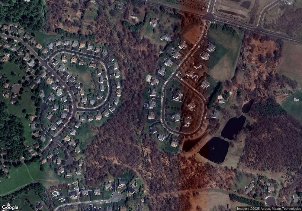
Map
Nearby Homes
- 5 Pansy Ct
- 22 Delaney Dr
- 69 Hillyer Ln
- 10 Amy Cir
- 7 Grace Cir
- 25 Hillyer Ln
- 4 Gladiola Cir
- 8 Periwinkle Place
- 9 Tulip Dr
- 220 Stoopville Rd
- 83 Cypress Place
- 316 Monterey Place
- Lot 4 Ava Ct
- 102 Broadleaf Place
- 2034 Woodland Rd
- 13 Sparrow Walk
- 35 Elfreths Ct
- 95 Rittenhouse Cir Unit 92
- 9 Pickering Dr
- 3 Tines Field Path
- 11 Millstone Dr
- 15 Millstone Dr
- 9 Millstone Dr
- 17 Millstone Dr
- 10 Millstone Dr
- 12 Millstone Dr
- 7 Millstone Dr
- 14 Amaryllis Ln
- 12 Amaryllis Ln
- 19 Millstone Dr
- 16 Amaryllis Ln
- 10 Amaryllis Ln
- 16 Millstone Dr
- 5 Millstone Dr
- 14 Millstone Dr
- 21 Millstone Dr
- 18 Amaryllis Ln
- 8 Amaryllis Ln
- 8 Millstone Dr
- 13 Amaryllis Ln