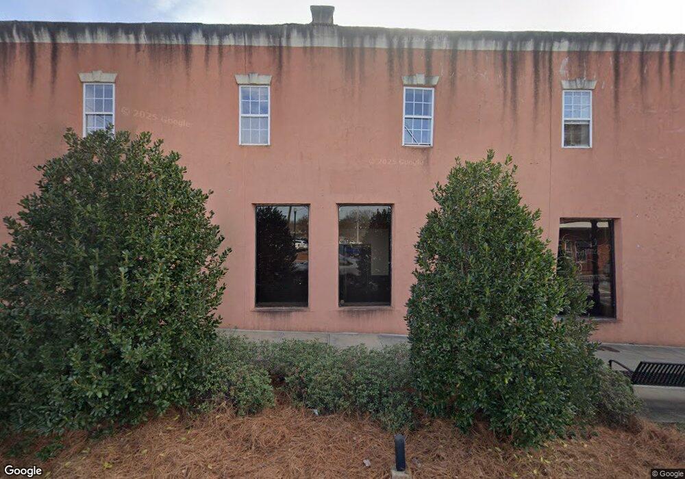
13 N Broad St Winder, GA 30680
Estimated Value: $792,330
Studio
--
Bath
21,250
Sq Ft
$37/Sq Ft
Est. Value
About This Home
This home is located at 13 N Broad St, Winder, GA 30680 and is currently priced at $792,330, approximately $37 per square foot. 13 N Broad St is a home located in Barrow County with nearby schools including County Line Elementary School, Russell Middle School, and Winder-Barrow High School.
Ownership History
Date
Name
Owned For
Owner Type
Purchase Details
Closed on
Aug 21, 2025
Sold by
War Hill Christian Fellowship Inc
Bought by
Red Scout Capital Llc
Current Estimated Value
Home Financials for this Owner
Home Financials are based on the most recent Mortgage that was taken out on this home.
Original Mortgage
$230,000
Outstanding Balance
$155,044
Interest Rate
6.74%
Mortgage Type
Purchase Money Mortgage
Purchase Details
Closed on
Oct 19, 2016
Sold by
Jerry M
Bought by
War Hill Christian Fellowship
Purchase Details
Closed on
Sep 16, 2009
Sold by
Jmm Family Lp Lllp
Bought by
Maynard Jerry M
Purchase Details
Closed on
Feb 15, 2006
Sold by
Shirey Mark P and Shirey Vicky R
Bought by
Jmm Family
Home Financials for this Owner
Home Financials are based on the most recent Mortgage that was taken out on this home.
Original Mortgage
$475,000
Interest Rate
6.08%
Create a Home Valuation Report for This Property
The Home Valuation Report is an in-depth analysis detailing your home's value as well as a comparison with similar homes in the area
Home Values in the Area
Average Home Value in this Area
Purchase History
| Date | Buyer | Sale Price | Title Company |
|---|---|---|---|
| Red Scout Capital Llc | $200,000 | -- | |
| War Hill Christian Fellowship | -- | -- | |
| Maynard Jerry M | $385,000 | -- | |
| Jmm Family | $475,000 | -- |
Source: Public Records
Mortgage History
| Date | Status | Borrower | Loan Amount |
|---|---|---|---|
| Open | Red Scout Capital Llc | $230,000 | |
| Previous Owner | Jmm Family | $475,000 |
Source: Public Records
Tax History
| Year | Tax Paid | Tax Assessment Tax Assessment Total Assessment is a certain percentage of the fair market value that is determined by local assessors to be the total taxable value of land and additions on the property. | Land | Improvement |
|---|---|---|---|---|
| 2025 | -- | $61,195 | $40,000 | $21,195 |
| 2024 | -- | $61,195 | $40,000 | $21,195 |
| 2023 | $38 | $61,195 | $40,000 | $21,195 |
| 2022 | $103 | $61,195 | $40,000 | $21,195 |
| 2021 | $103 | $61,195 | $40,000 | $21,195 |
| 2020 | $133 | $61,195 | $40,000 | $21,195 |
| 2019 | $0 | $61,195 | $40,000 | $21,195 |
| 2018 | $133 | $81,934 | $40,000 | $41,934 |
| 2017 | $1,956 | $65,545 | $40,000 | $25,545 |
| 2016 | $3,782 | $112,958 | $40,000 | $72,958 |
| 2015 | $3,226 | $112,958 | $40,000 | $72,958 |
| 2014 | $3,223 | $95,358 | $22,400 | $72,958 |
| 2013 | -- | $99,700 | $19,600 | $80,100 |
Source: Public Records
Map
Nearby Homes
- 0 W Athens St Unit 10544465
- 0 Georgia Highway 211 Unit 7483562
- 24 Richardson St
- 37 Wade St
- 1 W Kimball St
- 3 W Kimball St
- 127 N Center St
- 5 W Kimball St
- 88 E Stephens St
- 122 Capitol Ave
- 168 Park Ave
- 253 3rd Ave
- 217 Bellview St
- 18 E New St
- 187 Bellview St
- 209 Georgia Ave
- 160 N Broad St
- 175 Melrose St
- 88 W New St
- 17 W Wright St
- 35 N Broad St Unit SUITE 115
- 35 N Broad St
- 0 S Broad St
- 0 S Broad St
- 0 S Broad St Unit CM926671
- 0 S Broad St Unit 20059073
- 0 S Broad St Unit 2754055
- 0 S Broad St Unit 8763991
- 0 Georgia 8
- 30 Laura St
- 0 W Athens St Unit 5958544
- 0 W Athens St Unit 3201739
- 0 W Athens St Unit 7039804
- 0 W Athens St Unit 7505253
- 00 W Athens St
- 0 W Athens St Unit 5726565
- 0 W Athens St Unit CM960354
- 0 W Athens St Unit CM951616
- 0 W Athens St Unit 20100934
- 0 W Athens St Unit 1004446
Your Personal Tour Guide
Ask me questions while you tour the home.