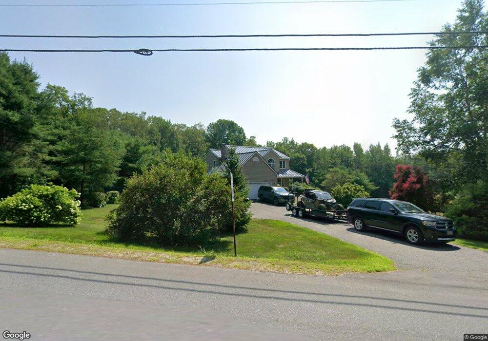
13 N Reynolds Rd Winslow, ME 04901
Estimated Value: $431,629 - $505,000
4
Beds
4
Baths
2,931
Sq Ft
$159/Sq Ft
Est. Value
About This Home
This home is located at 13 N Reynolds Rd, Winslow, ME 04901 and is currently estimated at $466,157, approximately $159 per square foot. 13 N Reynolds Rd is a home located in Kennebec County with nearby schools including Winslow Elementary School, Winslow Junior High School, and Winslow High School.
Ownership History
Date
Name
Owned For
Owner Type
Purchase Details
Closed on
May 4, 2009
Sold by
Gagne Theresa M
Bought by
Swiercz Anna M and Swiercz Paul D
Current Estimated Value
Home Financials for this Owner
Home Financials are based on the most recent Mortgage that was taken out on this home.
Original Mortgage
$196,000
Outstanding Balance
$122,834
Interest Rate
4.86%
Mortgage Type
Purchase Money Mortgage
Estimated Equity
$343,323
Create a Home Valuation Report for This Property
The Home Valuation Report is an in-depth analysis detailing your home's value as well as a comparison with similar homes in the area
Home Values in the Area
Average Home Value in this Area
Purchase History
| Date | Buyer | Sale Price | Title Company |
|---|---|---|---|
| Swiercz Anna M | -- | -- |
Source: Public Records
Mortgage History
| Date | Status | Borrower | Loan Amount |
|---|---|---|---|
| Open | Swiercz Anna M | $196,000 |
Source: Public Records
Tax History Compared to Growth
Tax History
| Year | Tax Paid | Tax Assessment Tax Assessment Total Assessment is a certain percentage of the fair market value that is determined by local assessors to be the total taxable value of land and additions on the property. | Land | Improvement |
|---|---|---|---|---|
| 2024 | $5,303 | $353,500 | $40,400 | $313,100 |
| 2023 | $5,303 | $353,500 | $40,400 | $313,100 |
| 2022 | $4,312 | $227,700 | $27,500 | $200,200 |
| 2021 | $4,519 | $223,700 | $27,500 | $196,200 |
| 2020 | $4,259 | $226,300 | $27,500 | $198,800 |
| 2019 | $4,218 | $226,300 | $27,500 | $198,800 |
| 2018 | $4,060 | $226,300 | $27,500 | $198,800 |
| 2017 | $3,788 | $226,300 | $27,500 | $198,800 |
| 2016 | $3,562 | $226,300 | $27,500 | $198,800 |
| 2015 | $3,528 | $227,600 | $28,800 | $198,800 |
| 2014 | $3,528 | $227,600 | $28,800 | $198,800 |
Source: Public Records
Map
Nearby Homes
- 1 S Reynolds Rd
- 51 N Reynolds Rd
- 1 S Ridge Dr
- 484 China Rd
- Lot 5B China Rd
- TBD China Rd
- 235 S Reynolds Rd
- M2, L48B S Reynolds Rd
- 242 China Rd
- Lot 76 Bassett Rd
- lot 75 Bassett Rd
- 105 S Pond Rd
- 5 Mar Val Terrace Unit B1
- 2 Blue Heron Ln
- 2 and 3 Blue Heron Ln
- 3 Blue Heron Ln
- 85 Halifax St
- 158 Clinton Ave
- 73 Halifax St
- 5 Robert St
- 1 N Reynolds Rd
- 15 N Reynolds Rd
- 0 S Reynolds Rd Unit Lot 1 1632267
- 0 S Reynolds Rd Unit 751398
- 0 S Reynolds Rd Unit 751200
- 0 S Reynolds Rd Unit 725021
- 0 S Reynolds Rd Unit 720649
- 0 S Reynolds Rd Unit 700656
- 0 S Reynolds Rd Unit 537693
- 0 S Reynolds Rd Unit 516401
- 0 S Reynolds Rd Unit 235288
- 0 S Reynolds Rd Unit 771319
- 0 S Reynolds Rd Unit 768564
- 0 S Reynolds Rd Unit 751322
- 0 S Reynolds Rd Unit 751304
- 0 S Reynolds Rd Unit 751205
- 0 S Reynolds Rd Unit 751188
- 0 S Reynolds Rd Unit 249712
- 0 S Reynolds Rd Unit 794305
- 0 S Reynolds Rd Unit 794257