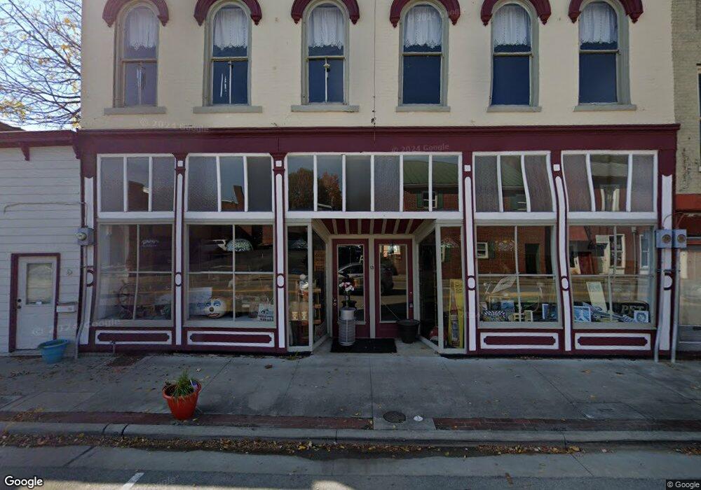
13 N Second St Ripley, OH 45167
Estimated Value: $285,007
Studio
1
Bath
--
Sq Ft
--
Built
About This Home
This home is located at 13 N Second St, Ripley, OH 45167 and is currently priced at $285,007. 13 N Second St is a home located in Brown County with nearby schools including Ripley Union Lewis Huntington Elementary School, Ripley Union Lewis Huntington Middle School, and Ripley-Union-Lewis-Huntington High School.
Ownership History
Date
Name
Owned For
Owner Type
Purchase Details
Closed on
Jul 18, 2025
Sold by
Campbell David
Bought by
13 Second Street Llc
Current Estimated Value
Purchase Details
Closed on
Aug 30, 2019
Sold by
Rishel Darrell F and Delaney Janet
Bought by
Campbell David
Purchase Details
Closed on
Aug 23, 2019
Sold by
Estate Of Allyn Ruth Rishel
Bought by
Rishel Darrell F
Purchase Details
Closed on
May 12, 1998
Sold by
Dallas Kratzer Trst
Bought by
Rishel Allyn R
Home Financials for this Owner
Home Financials are based on the most recent Mortgage that was taken out on this home.
Original Mortgage
$50,000
Interest Rate
7.2%
Mortgage Type
Commercial
Create a Home Valuation Report for This Property
The Home Valuation Report is an in-depth analysis detailing your home's value as well as a comparison with similar homes in the area
Home Values in the Area
Average Home Value in this Area
Purchase History
| Date | Buyer | Sale Price | Title Company |
|---|---|---|---|
| 13 Second Street Llc | $150,000 | None Listed On Document | |
| 13 Second Street Llc | $150,000 | None Listed On Document | |
| Campbell David | $8,000 | None Available | |
| Rishel Darrell F | -- | None Available | |
| Rishel Allyn R | $110,000 | -- |
Source: Public Records
Mortgage History
| Date | Status | Borrower | Loan Amount |
|---|---|---|---|
| Previous Owner | Rishel Allyn R | $50,000 |
Source: Public Records
Tax History
| Year | Tax Paid | Tax Assessment Tax Assessment Total Assessment is a certain percentage of the fair market value that is determined by local assessors to be the total taxable value of land and additions on the property. | Land | Improvement |
|---|---|---|---|---|
| 2025 | $262 | $6,410 | $2,190 | $4,220 |
| 2024 | $262 | $6,410 | $2,190 | $4,220 |
| 2023 | $261 | $8,550 | $1,650 | $6,900 |
| 2022 | $389 | $8,550 | $1,650 | $6,900 |
| 2021 | $384 | $8,550 | $1,650 | $6,900 |
| 2020 | $388 | $8,550 | $1,650 | $6,900 |
| 2019 | $386 | $8,550 | $1,650 | $6,900 |
| 2018 | $384 | $8,550 | $1,650 | $6,900 |
| 2017 | $1,178 | $24,090 | $4,110 | $19,980 |
| 2016 | $1,175 | $24,090 | $4,110 | $19,980 |
| 2015 | $1,127 | $24,090 | $4,110 | $19,980 |
| 2014 | $1,127 | $24,090 | $4,110 | $19,980 |
| 2013 | $1,064 | $24,090 | $4,110 | $19,980 |
Source: Public Records
Map
Nearby Homes
- 45 Main St
- 220 Main St
- 102 N 3rd St
- 402 Catherine St
- 4323 Old Us Rt 68
- 3402 Mary Ingles Hwy
- 4381 E Us Highway 52
- 65 Governor St
- 0 Flaugher Rd Unit 1870071
- Lot 0600 Shawnee Dr
- Lot 1200 Shawnee Dr
- Lot 0700 Shawnee Dr
- Lot 1000 Shawnee Dr
- Lot 0900 Shawnee Dr
- Lot 0800 Shawnee Dr
- 6962 US Rt 52
- 7075 Campbell Rd
- 4667 U S 52
- 7189 Campbell Rd
- 0 Scoffield Rd Unit 1847641
- 13 N 2nd St
- 17 N Second St
- 17 N 2nd St
- 5 N 2nd St
- 5 N Second St
- 23 N 2nd St
- 14 N 2nd St
- 30 Main St
- 1 U S 52
- 14 Main St
- 0 Us Rt 52 Unit 1306673
- 0 US Rt 52 Unit 1396583
- 0 W US Rt 52 Unit 1747379
- 0 W US Rt 52 Unit 1698034
- 0 US Rt 52 Unit 1117412
- 0 US Rt 52 Unit 1070480
- 0 W US Rt 52 Unit 4 658803
- 0 W US Rt 52 Unit 1683270
- 0 W US Rt 52 Unit 1666803
- 0 W US Rt 52 Unit 1640754
Your Personal Tour Guide
Ask me questions while you tour the home.